Browse / Spain / Valencian Community / Argelita
Argelita
Valencian Communityvillage

Argelita
Total population
142
Demographic figures from INE (Spain). Overview below cites Wikipedia and may reference a different year.
City facts
Facts from Wikidata (CC0).
Overview
Argelita is a municipality in the comarca of Alto Mijares, Castellón, Valencia, Spain. In 2015, it had a population of 147, located in the Alto Mijares region, next to the Argelita River or Villahermosa. Its term occupies 15.5 km2 and is 40 km from Castellón. It is located in the valley that forms the Villahermosa River and is surrounded by high mountains, as well as irrigated orchards that its inhabitants have been cultivating throughout history. Its pleasant temperature and its beautiful landscapes mean that its population increases significantly in summer.
Read more on WikipediaHistory & geography
History
The municipality of Argelita, of Arab origin, belonged to Abu Zeyd in the thirteenth century who was the last Almohad governor of Valencia. His enemies cornered him and he finally retreated to the palace of this town, where he converted to Christianity giving his belongings to the church and the Christian nobility. After the Reconquista the municipality belonged to the Crown in 1491. Later, the municipality passed into the hands of the Arenós family and on October 5, 1609, it was uninhabited. So on February 23, 1611, Mr. Pedro Escribá and Zapata, the new Lord of Argelita, granted Carta Pobla to 24 new families that repopulated the town. Before being the province of Castellón, the Varonía de Argelita belonged to the Marquis of Monistrol within the government of Morella.
Excerpted from the corresponding Wikipedia article (CC BY-SA).
Geography
Coordinates & boundaries from the US Census TIGER/Line shapefiles.
Climate
Air quality
Walkability
Amenities nearby
Wildlife & biodiversity
Earthquake history
Photos
Sights & places nearby
Notable people from here


People born within ~10 km, from Wikidata (CC0). Click any name for their Wikipedia article.
Nearby places in Valencian Community
- Toga1.2 mi away · pop. 107
- Vallat1.8 mi away · pop. 68
- Espadilla1.9 mi away · pop. 102
- Ludiente2.5 mi away · pop. 106
- Torrechiva2.6 mi away · pop. 108
- Fanzara3 mi away · pop. 295
- Fuentes de Ayódar4.3 mi away · pop. 98
- Ribesalbes4.4 mi away · pop. 1,169
- Castillo de Villamalefa5.5 mi away · pop. 63
- Cirat5.9 mi away · pop. 151
- Zucaina6.5 mi away · pop. 161
- Torralba del Pinar6.5 mi away · pop. 57
Geography & sun
Elevation, sunrise/sunset and daylight from Open-Meteo. Solar climatology from NASA POWER.
Nearby airports
Public attention
Pageview totals from the Wikimedia Pageviews API.
Books about this place
Recent natural events nearby
Ground air-quality sensors
Recently spotted species
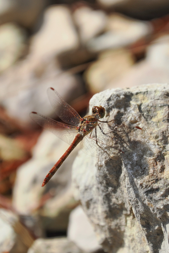
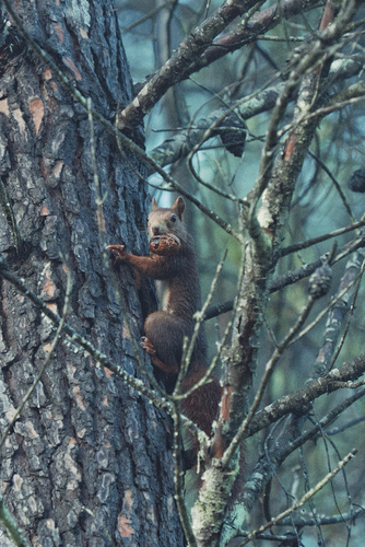
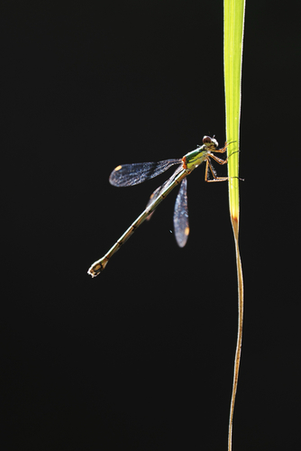
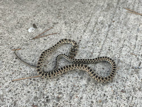
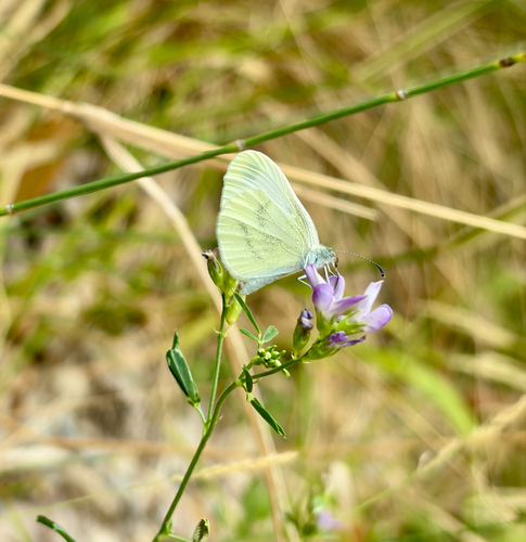
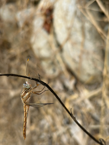
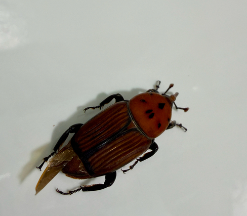
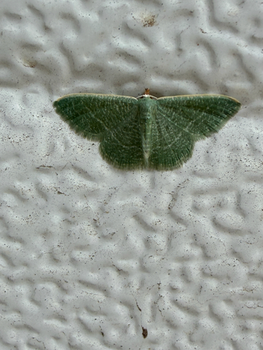
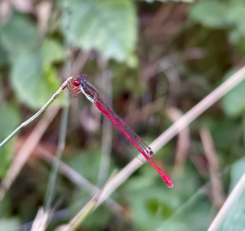
Research-grade observations from iNaturalist (within ~15 mi).
Events
Gallery
Sources
- • Wikipedia
- • Wikidata
- • iNaturalist
- • Open-Meteo / sunrise-sunset.org
- • Wikipedia Pageviews API