Browse / Spain / Andalusia / Atarfe
Atarfe
Andalusiatown

Atarfe
Total population
19,700
Demographic figures from INE (Spain). Overview below cites Wikipedia and may reference a different year.
City facts
Overview
Atarfe is a Spanish city in the north central part of the Vega of Granada in the province of Granada, Andalusia. It borders the municipalities of Moclín, Colomera, Albolote, Maracena, Granada, Santa Fe, and Pinos Puente. By this village run the Rivers Cubillas and Colomera. Its districts include Caparacena, Sierra Elvira, Hurpe and Cubillas.
History & geography
Geography
Coordinates & boundaries from the US Census TIGER/Line shapefiles.
Climate
Air quality
Walkability
Amenities nearby
Wildlife & biodiversity
Earthquake history
Photos
Sights & places nearby
Notable people from here


People born within ~10 km, from Wikidata (CC0). Click any name for their Wikipedia article.
Nearby places in Andalusia
- Albolote1.7 mi away · pop. 13,625
- Peligros3.3 mi away · pop. 10,513
- Pinos Puente4 mi away · pop. 6,877
- Pulianas4.3 mi away · pop. 2,679
- Chauchina4.9 mi away · pop. 5,338
- Cúllar Vega4.9 mi away · pop. 6,002
- Calicasas5.1 mi away · pop. 684
- Fuente Vaqueros5.3 mi away · pop. 4,630
- Alfacar6.7 mi away · pop. 2,930
- Cijuela7 mi away · pop. 3,821
- Cogollos de la Vega7.3 mi away · pop. 1,932
- Valderrubio7.6 mi away · pop. 2,053
Geography & sun
Elevation, sunrise/sunset and daylight from Open-Meteo. Solar climatology from NASA POWER.
Nearby airports
Public attention
Pageview totals from the Wikimedia Pageviews API.
Books about this place
Recent natural events nearby
Ground air-quality sensors
Recently spotted species
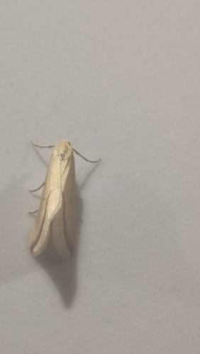
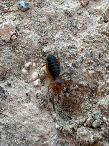
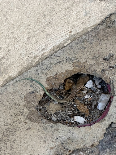
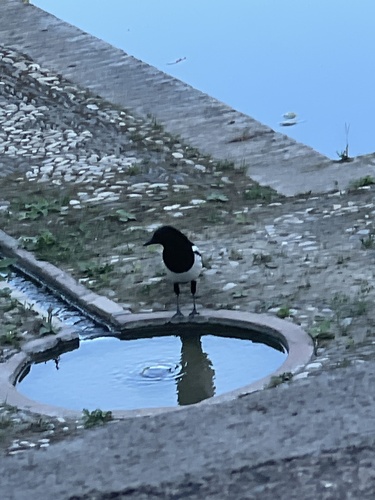
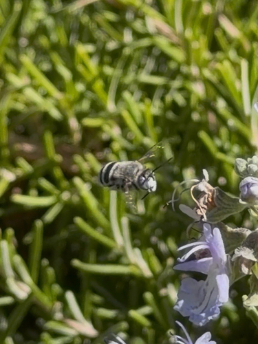
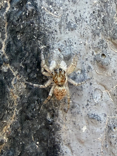
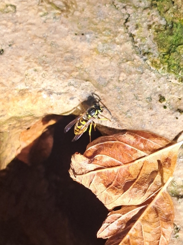
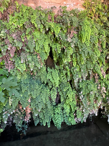
Research-grade observations from iNaturalist (within ~15 mi).
Events
Gallery
Sources
- • Wikipedia
- • Wikidata
- • iNaturalist
- • Open-Meteo / sunrise-sunset.org
- • Wikipedia Pageviews API