Browse / Spain / Extremadura / Badajoz
Badajoz
Extremaduracity

Badajoz
Total population
124,459
Air quality index
Demographic figures from INE (Spain). Overview below cites Wikipedia and may reference a different year.
City facts
Facts from Wikidata (CC0).
Overview
Badajoz is the capital of the province of Badajoz in the autonomous community of Extremadura, Spain. It is situated close to the Portuguese border, on the left bank of the river Guadiana. The population in 2011 was 151,565.
Read more on WikipediaHistory & geography
History
Archaeological finds unearthed in the Badajoz area have been dated to the Bronze Age. Megalithic tombs are dated as far back as 4000 BC, while many of the steles found are from the Late Bronze Age. Other finds include weapons such as axes and swords, everyday items of pottery and utensils, and various items of jewellery such as bracelets. Archaeological excavations have revealed remnants from the Lower Paleolithic period. Artifacts have also been found at the Roman town of Colonia Civitas Pacensis in the Badajoz area, although a significant number of larger artifacts were found in Mérida. With the invasion of the Romans, which started in 218 BC during the Second Punic War, Badajoz and Extremadura became part of the administrative district called Hispania Ulterior (Farther Spain), which was later divided by Emperor Augustus into Hispania Ulterior Baetica and Hispania Ulterior Lusitania; Badajoz became part of Lusitania. Though the settlement is not mentioned in Roman history, Roman villas such as the La Cocosa Villa have been discovered in the area, while Visigothic constructions have also been found in the vicinity. Badajoz attained importance during the reign of Moorish rulers such as the Umayyad caliphs of Córdoba, and the Almoravids and Almohads of North Africa. From the 8th century, the Umayyad dynasty controlled the region until the early 11th century. The official foundation of Badajoz was laid by the Muladi nobleman Ibn Marwan, around 875, after he had been expelled from Mérida. Under Ibn Marwan, the city was the seat of an effective autonomous rebel state which was quenched only in the 10th century. In 1021 (or possibly 1031), it became the capital of a small Muslim kingdom, the Taifa of Badajoz; with some 25,000 inhabitants. Badajoz was known as Baṭalyaws ()…
Geography
Badajoz is located in the southwest of the Iberian Peninsula on the bank of the Guadiana River on the border with Portugal. It is the capital city of the province of the same name. It is from Mérida, from Cáceres, from Seville, east of Lisbon, and from Madrid. The newer part of the city is on the right bank of the river, with several industrial estates and the university hospital. In geological terms, Badajoz is located in the South Submeseta. It was founded on the banks of the Guadiana River on a Paleozoic limestone hill, carved by the river. On this hill is the Alcazaba, one of the main sights of the city. The municipality of Badajoz contains soils derived from tertiary deposits, dating to the Paleozoic era. Its average altitude is above sea level. The highest points are located in the Cerro del Viento (), at Fuerte San Cristóbal () and Cerro de la Muela (). The lowest point is the Guadiana River (). Badajoz has a hot-summer Mediterranean climate (Köppen: Csa) being very similar to the climates found between the microclimates of the coast and of the central valley of California (e.g. Stockton), with mild winters but with more common temperatures below zero and hot summers being sometimes a year at 40 °C or more. At the same time the precipitation is at a threshold close to a semi-arid climate. The climate of Badajoz has drastic changes between the summer and winter as seen in the chart below. Altitude of the measuring station is . The average annual temperature is . The average high temperature in July is around whereas the coldest average low temperatures is around in January. Average annual rainfall is around , with December recording the maximum of and July is the driest month with rainfall of . Humidity level is at an annual average level of 63%.…
Excerpted from the corresponding Wikipedia article (CC BY-SA).
Geography
Coordinates & boundaries from the US Census TIGER/Line shapefiles.
Climate
Air quality
Current readings from Open-Meteo Air Quality API (Copernicus CAMS European reanalysis).
Walkability
Amenities nearby
Wildlife & biodiversity
Most-observed species
- House SparrowPasser domesticus (Linnaeus, 1758) · Aves2,222
- Eurasian MagpiePica pica (Linnaeus, 1758) · Aves2,079
- Eurasian BlackbirdTurdus merula Linnaeus, 1758 · Aves1,822
- Spotless StarlingSturnus unicolor Temminck, 1820 · Aves1,742
- Eurasian Collared-DoveStreptopelia decaocto (Frivaldszky, 1838) · Aves1,642
- MallardAnas platyrhynchos Linnaeus, 1758 · Aves1,483
- European SerinSerinus serinus (Linnaeus, 1766) · Aves1,467
- Eurasian MoorhenGallinula chloropus (Linnaeus, 1758) · Aves1,424
Citizen-science & research observations from the Global Biodiversity Information Facility (GBIF).
Earthquake history
Photos
Sights & places nearby
Notable people from here


People born within ~10 km, from Wikidata (CC0). Click any name for their Wikipedia article.
Geography & sun
Elevation, sunrise/sunset and daylight from Open-Meteo. Solar climatology from NASA POWER.
Nearby airports
Public attention
Pageview totals from the Wikimedia Pageviews API.
Books about Badajoz


Search results from Open Library.
Recent natural events nearby
Ground air-quality sensors
Recently spotted species
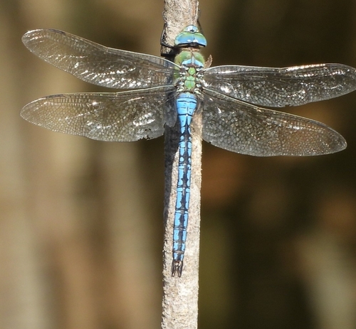
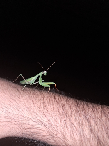
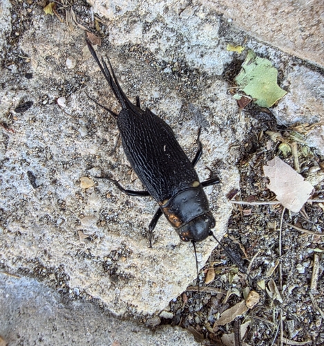
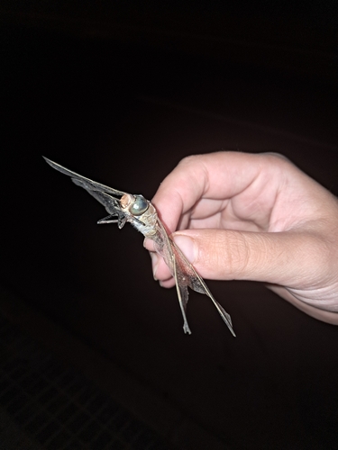
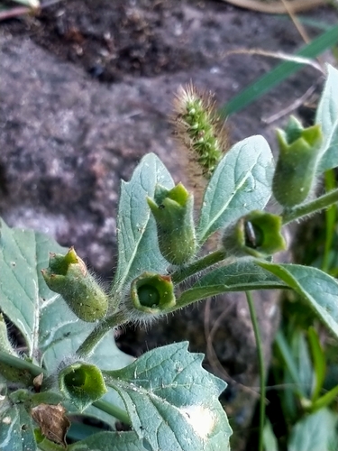
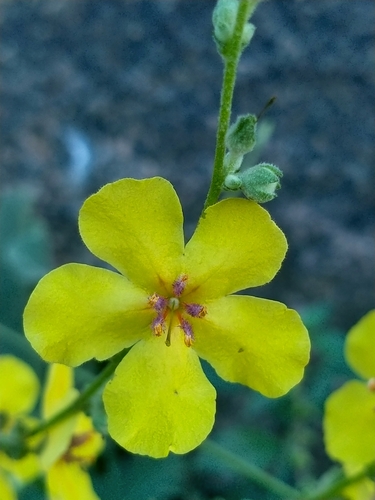
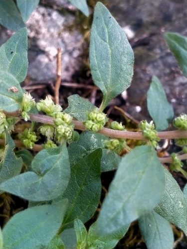
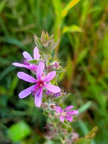
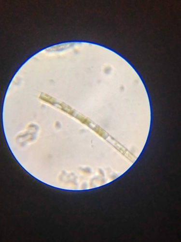
Research-grade observations from iNaturalist (within ~15 mi).
Events
Notable, recurring, and historical events associated with Badajoz, sourced from Wikidata.
- Jul 22, 2023
Source: Wikidata (CC0).
Gallery
Geotagged photos within ~6 miles of Badajoz, from Wikimedia Commons contributors.
 0 mi
0 mi 0 mi
0 mi 0 mi
0 mi 0 mi
0 mi 0 mi
0 mi 0 mi
0 mi_-_panoramio.jpg) 0 mi
0 mi_-_panoramio.jpg) 0 mi
0 mi_-_panoramio.jpg) 0 mi
0 mi 0 mi
0 mi 0 mi
0 mi.jpg) 0 mi
0 mi.jpg) 0 mi
0 mi 0 mi
0 mi 0 mi
0 mi 0.1 mi
 0.1 mi
 0.1 mi
 0.1 mi
 0.1 mi
 0.1 mi
_-_panoramio.jpg) 0.1 mi
0.1 mi_-_panoramio.jpg) 0.1 mi
0.1 mi 0.1 mi
Photos via Wikimedia Commons — see each image page for license & attribution.
Official Identifiers
INE — Spanish National Statistics
- INE code
- 06015
- Population (Wikidata)
- 150,209
- Wikidata
- Q15679
Municipality codes via Wikidata P772
Sources
- • Wikipedia
- • Wikimedia Commons
- • Wikidata
- • Open-Meteo Air Quality (CAMS)
- • GBIF (Global Biodiversity Information Facility)
- • iNaturalist
- • Open-Meteo / sunrise-sunset.org
- • Wikipedia Pageviews API
- • Open Library
- • INE — Spanish national statistics, municipality code via Wikidata P772
- • INE — Spanish National Statistics — Municipality codes via Wikidata P772