Browse / Spain / Balearic Islands / Banyalbufar
Banyalbufar
Balearic Islandsvillage

Banyalbufar
Total population
405
Demographic figures from INE (Spain). Overview below cites Wikipedia and may reference a different year.
City facts
Facts from Wikidata (CC0).
Overview
Banyalbufar is a municipality on the Spanish Balearic island of Mallorca. The town of the same name is the administrative seat of the municipality. It borders the municipalities of Estellencs, Puigpunyent, Esporles, and Valldemossa.
Read more on WikipediaHistory & geography
History
The original name Banyalbahar comprises two different components, both of Arabic origin: banya (constructed) and bahar. Banya derives from the name of a Moorish settlement established on the island in the 10th century. The original meaning of Banyalbufar is, therefore, "founded by the sea". Following the Catalan conquest of Majorca in 1229, Banyalbufar came under control of Gilabert de Cruïlles (ca) and Ramon sa Clusa. During the Middle Ages and up until the 15th century, the valley was ruled under a practically absolutist government, the Barony of Banyalbufar. The baron maintained the civil and criminal jurisdiction over the entire population. The inhabitants of Banyalbufar devoted themselves almost exclusively to agriculture. Fishing remained merely a secondary industry. Produce included wheat, barley, pulses, olives, flax, hemp, saffron and, above all, wine. The local Malvasier grape was highly prized. After a long period of decline, there are now efforts to revive this fruit. In previous times, the location was in reality a large vineyard. Around 2,000 steppes emanate from the peak of the location, which were once devoted exclusively to the production of Malvasier wine. The wine was highly favoured by the King of Aragon, and was in no small part a motive for the conquest by James I. Today mostly tomatoes and other fruits are produced. Irrigation of the fields is inextricably linked to the production of wine. The solution presented to solve irrigatory problems in this region is impressive and prime example of the Moorish hydro-expertise on the island. The aqueducts, which provide vital cost-free water from the mountains for the agriculture, originate for the greater part from the Arabic period. Dry walls, constructed by the Moors from the stones in the fields,…
Geography
The municipality of Banyalbufar has an area of 18.1 km2 and lies next to the Serra de Tramuntana mountain off the C-710 along the road from Andratx to Valldemossa. The municipality also contains four smaller mountains, of which Mola de Planícia is the highest at 942 m, and Sa Talaia is the lowest at 309 m. Rainfall can occur all year round. The driest month is July with an average rainfall of 10.1 L/m2. The heaviest rainfall is in October at 80.9 L/m2. The heaviest rainfall in Banyalbufar occurred on 10 June 1975 at 170 L/m2.
Excerpted from the corresponding Wikipedia article (CC BY-SA).
Geography
Coordinates & boundaries from the US Census TIGER/Line shapefiles.
Climate
Air quality
Walkability
Amenities nearby
Wildlife & biodiversity
Earthquake history
Photos
Sights & places nearby
Notable people from here


People born within ~10 km, from Wikidata (CC0). Click any name for their Wikipedia article.
Geography & sun
Elevation, sunrise/sunset and daylight from Open-Meteo. Solar climatology from NASA POWER.
Nearby airports
Public attention
Pageview totals from the Wikimedia Pageviews API.
Books about this place
Recent natural events nearby
Ground air-quality sensors
Recently spotted species
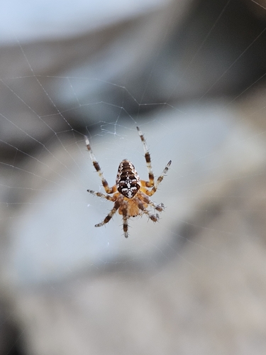
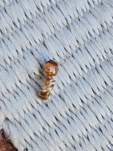
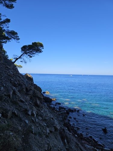
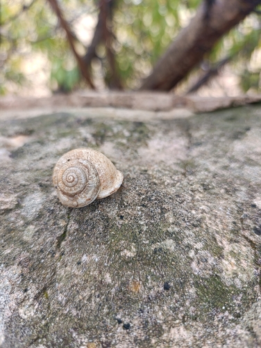
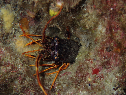
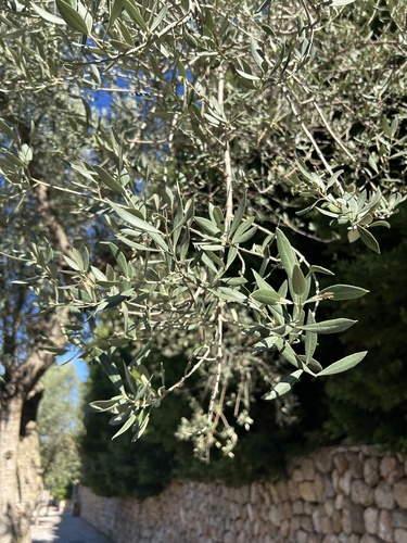
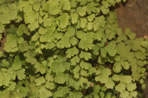
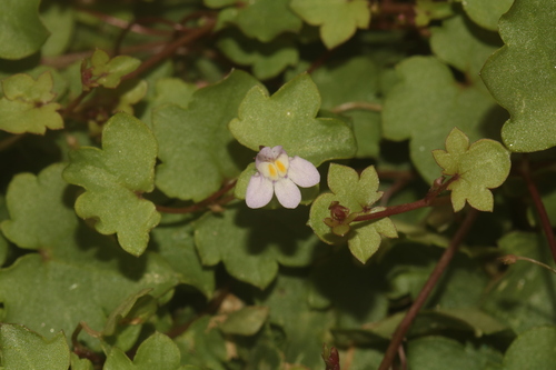
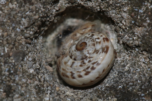
Research-grade observations from iNaturalist (within ~15 mi).
Events
Gallery
Sources
- • Wikipedia
- • Wikidata
- • iNaturalist
- • Open-Meteo / sunrise-sunset.org
- • Wikipedia Pageviews API