Browse / Spain / Andalusia / Benajarafe
Benajarafe
Andalusiavillage
Total population
3,067
Air quality index
Demographic figures from INE (Spain). Overview below cites Wikipedia and may reference a different year.
City facts
Overview
Benajarafe is a town located on the coast of the municipality of Vélez-Málaga, Spain, in the heart of Axarquia, a region that lies on the Eastern Costa del Sol, in the province of Málaga. It is located 9 kilometres from Torre del Mar and 20 kilometres from the provincial capital Málaga. It enjoys one of the best climates in Europe, with summers of full sun and a calm sea that imitates the tranquillity of the town. It is connected by the Mediterranean Motorway (E-15) north of the city, in the direction of Málaga to Almería.
Read more on WikipediaHistory & geography
History
Benajarafe has been occupied since the Palaeolithic era. Very close to this place, many historians place the Greek colony of Mainake, whose exact location is still sought after, although the most striking archaeological remains have appeared next to the river Velez, in Torre del Mar. The name of this town dates back to the time when the Muslims lived there, although it is in itself controversial for the locals. The most widespread interpretation comes from the Arabic Ben ash-Sharif (Son of the Height). Another version refers to the term Bina' ash-Sharaf (بناء الشراف), which means "house (or, more literally, 'construction') on the hill". In 1483 the last Catholic victory in Andalusia took place here, the Battle of La Axarquía, as part of the Granada War. At this time, one of the most significant features of Benajarafe was built, the Torre Moya (Fat Tower), which receives its name because it is the largest on the coast of Málaga. The purpose of this tower was to alert the inhabitants of the arrival of the pirates who besieged them for centuries from different places. For this purpose, fires were made, using smoke during the day and fire at night. Another of the most important buildings is the old train station, which ran from Málaga to Ventas de Zafarraya, was moved by coal in its beginnings and by fuel later on. It was one of the main causes for the development of the town, until in the 60's when it was decided to dismantle the line. This narrow-gauge railway made its last journey in 1968.
Geography
Benajarafe is divided into two different parts, Benajarafe Alto and Benajarafe Costa. The first one is the main sector of the population. It is mainly composed of a large number of country houses, scattered from the top to the bottom of the town. The people who live there are mainly farmers, and as they are still in the process of urbanization, most of them live in streets without asphalt and even in certain sectors, they are surrounded by streams that swell in the rainy season. In recent years, a large number of urbanisations have been built, especially on the coast, and in 2005 a large part of the work was completed which resulted in a promenade worthy of a tourist town. The most important thing for the tourism of this town is without any doubt the immense beach that gives it its length of almost 2 kilometres. The National Road 340 separates the beach from the town, giving way to a large amount of traffic that moves preferably between Málaga and Vélez-Málaga, although the creation of the motorway a few kilometres further in has taken most of it. Nowadays many foreigners, mainly French, German and English, visit the town and many choose it as a place to buy a house in which they can spend the summer or winter. Benajarafe Beach is a dark sand beach with a moderate swell. It is about 1,600 metres long and 30 metres deep and has a series of basic utilities such as pathways, parasols, and showers. The centre of Benajarafe Alto is the hermitage of Nuestra Señora del Rosario, where every October the pilgrimage to the patron saint takes place from the church located in Benajarafe Costa on the back of oxen. This church was restored between the years 1996 and 1999 by the association of neighbours, helped by the Tenencia de Alcaldía This area of Benajarafe is mainly…
Excerpted from the corresponding Wikipedia article (CC BY-SA).
Geography
Coordinates & boundaries from the US Census TIGER/Line shapefiles.
Climate
Air quality
Current readings from Open-Meteo Air Quality API (Copernicus CAMS European reanalysis).
Walkability
Amenities nearby
Wildlife & biodiversity
Most-observed species
- Monk ParakeetMyiopsitta monachus (Boddaert, 1783) · Aves3,083
- Yellow-legged GullLarus michahellis J.F.Naumann, 1840 · Aves2,990
- Eurasian Collared-DoveStreptopelia decaocto (Frivaldszky, 1838) · Aves2,908
- Eurasian BlackbirdTurdus merula Linnaeus, 1758 · Aves2,850
- House SparrowPasser domesticus (Linnaeus, 1758) · Aves2,488
- Rock PigeonColumba livia J.F.Gmelin, 1789 · Aves2,196
- Sardinian WarblerCurruca melanocephala (J.F.Gmelin, 1789) · Aves2,117
- Spotless StarlingSturnus unicolor Temminck, 1820 · Aves1,936
Citizen-science & research observations from the Global Biodiversity Information Facility (GBIF).
Earthquake history
Photos
Sights & places nearby
Notable people from here


People born within ~10 km, from Wikidata (CC0). Click any name for their Wikipedia article.
Nearby places in Andalusia
- Benamocarra5.4 mi away · pop. 3,051
- Torre del Mar5.8 mi away · pop. 22,073
- El Borge7 mi away · pop. 778
- El Morche11.2 mi away · pop. 2,749
- Loma de la Cuesta del Molino11.5 mi away
- Sedella13.4 mi away · pop. 366
- Salares13.4 mi away · pop. 175
- Torrox Park13.7 mi away · pop. 1,391
- Árchez14.1 mi away · pop. 247
- Canillas de Albaida14.5 mi away · pop. 553
- Periana14.5 mi away · pop. 2,437
- Riogordo14.7 mi away · pop. 2,376
Geography & sun
Elevation, sunrise/sunset and daylight from Open-Meteo. Solar climatology from NASA POWER.
Nearby airports
Public attention
Pageview totals from the Wikimedia Pageviews API.
Books about this place
Recent natural events nearby
Ground air-quality sensors
Recently spotted species
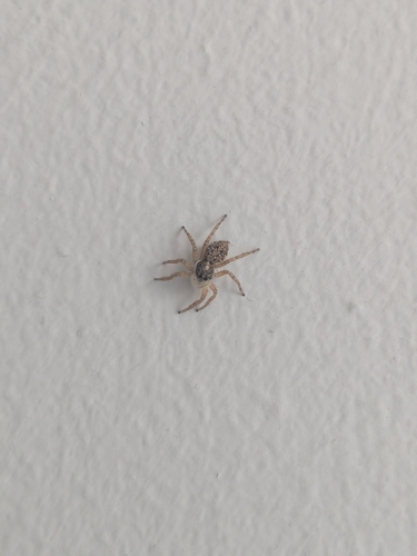
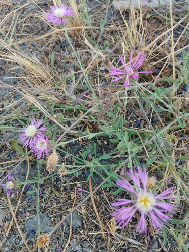
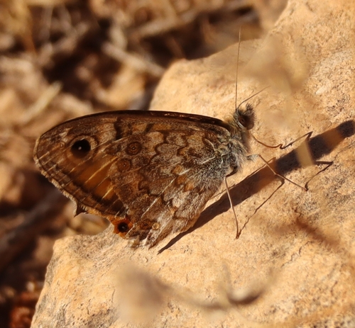
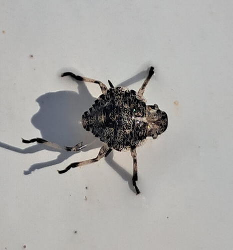
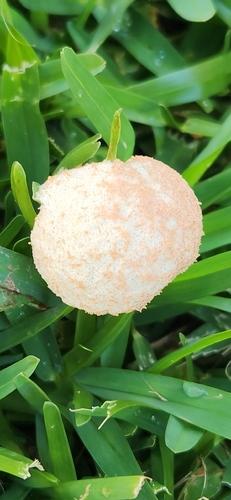
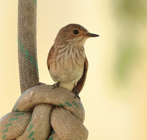
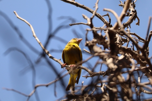
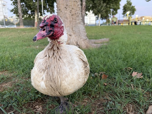
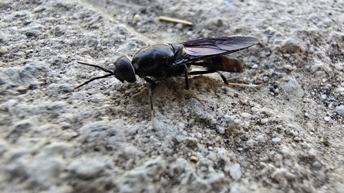
Research-grade observations from iNaturalist (within ~15 mi).
Events
Gallery
Geotagged photos within ~6 miles of Benajarafe, from Wikimedia Commons contributors.
.jpg) 0.1 mi
0.1 mi.jpg) 0.1 mi
0.1 mi 0.1 mi
.jpg) 0.3 mi
0.3 mi.jpg) 0.3 mi
0.3 mi.jpg) 0.3 mi
0.3 mi.jpg) 0.5 mi
0.5 mi.jpg) 0.5 mi
0.5 mi.jpg) 0.5 mi
0.5 mi.jpg) 0.5 mi
0.5 mi 0.5 mi
 0.6 mi
.jpg) 0.7 mi
0.7 mi.jpg) 0.7 mi
0.7 mi.jpg) 0.7 mi
0.7 mi 1.3 mi
 1.3 mi
 1.3 mi
 1.3 mi
.jpg) 1.5 mi
1.5 mi.jpg) 1.5 mi
1.5 mi.jpg) 1.5 mi
1.5 mi.jpg) 1.5 mi
1.5 mi 1.7 mi
Photos via Wikimedia Commons — see each image page for license & attribution.
Sources
- • Wikipedia
- • Wikimedia Commons
- • Wikidata
- • Open-Meteo Air Quality (CAMS)
- • GBIF (Global Biodiversity Information Facility)
- • iNaturalist
- • Open-Meteo / sunrise-sunset.org
- • Wikipedia Pageviews API