Browse / Spain / Valencian Community / Benimarfull
Benimarfull
Valencian Communityvillage

Benimarfull
Total population
401
Demographic figures from INE (Spain). Overview below cites Wikipedia and may reference a different year.
City facts
Facts from Wikidata (CC0).
Overview
Benimarfull is a municipality in the comarca of Comtat in the Valencian Community, Spain, just 14.5 kilometers from the town of Alcoy.
Read more on WikipediaHistory & geography
History
The name Benimarfull, of Arabic origin, means "son of the bitter fountain." In the mid-13th century, the place was conquered from the Muslims by James I of Aragon and incorporated into the Kingdom of Valencia. From the mid-15th century, it became part of the lordship of Guadalest. In 1574, the Patriarch Juan de Ribera ordered the creation of the Morisco restoration of Benimarfull-Benillup, the document of creation in which contains the first appearance of the name "Benimarfull."
Geography
It is located on the CV-700 roadway that runs between Alfafara, Pego, and Vergel, crossing the entire Gallinera Valley, the valley of cherries. The town is crossed by the Sofre, Benimarfull, and Albacar ravines, and all tributaries of the Serpis river. Its municipal area borders with those of Alcocer de Planes, Almudaina, Benillup, Cocentaina, Muro de Alcoy and Planes.
Excerpted from the corresponding Wikipedia article (CC BY-SA).
Geography
Coordinates & boundaries from the US Census TIGER/Line shapefiles.
Climate
Air quality
Walkability
Amenities nearby
Wildlife & biodiversity
Earthquake history
Photos
Sights & places nearby
Notable people from here


People born within ~10 km, from Wikidata (CC0). Click any name for their Wikipedia article.
Nearby places in Valencian Community
- l'Alqueria d'Asnar1.9 mi away · pop. 495
- Muro de Alcoy2.4 mi away · pop. 7,974
- Planes2.6 mi away · pop. 553
- Gaianes2.7 mi away · pop. 307
- Cocentaina3.4 mi away · pop. 9,430
- Millena3.5 mi away · pop. 116
- Quatretondeta5.4 mi away · pop. 128
- Salem5.5 mi away · pop. 407
- Benimassot5.6 mi away · pop. 85
- Otos6.1 mi away · pop. 442
- Carrícola6.2 mi away · pop. 90
- el Ràfol de Salem6.2 mi away · pop. 453
Geography & sun
Elevation, sunrise/sunset and daylight from Open-Meteo. Solar climatology from NASA POWER.
Nearby airports
Public attention
Pageview totals from the Wikimedia Pageviews API.
Books about this place
Recent natural events nearby
Ground air-quality sensors
Recently spotted species
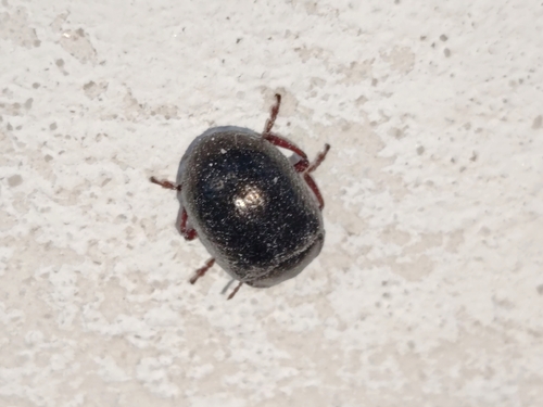
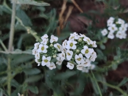
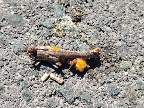

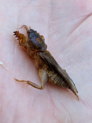
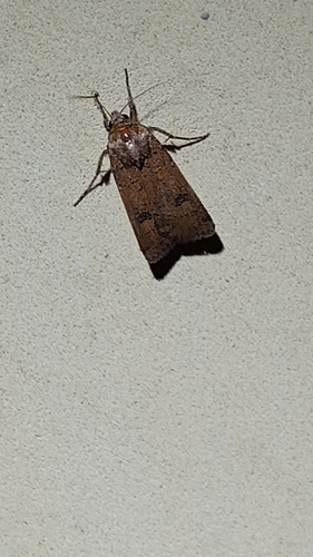
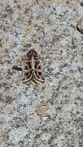
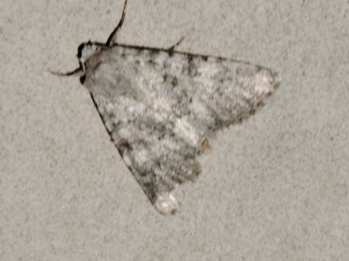
Research-grade observations from iNaturalist (within ~15 mi).
Events
Gallery
Sources
- • Wikipedia
- • Wikidata
- • iNaturalist
- • Open-Meteo / sunrise-sunset.org
- • Wikipedia Pageviews API