Browse / Spain / Valencian Community / Carlet
Carlet
Valencian Communitytown

Carlet
Total population
15,996
Demographic figures from INE (Spain). Overview below cites Wikipedia and may reference a different year.
City facts
Sister cities
Facts from Wikidata (CC0).
Overview
Carlet is a municipality in the Ribera Alta comarca of the Valencian Community, Spain. It lies in the valley of the Magre river, approximately 34 km (21 mi) from the city of Valencia by road. Historically an agricultural community dependent on irrigation, Carlet developed as the centre of a medieval seigneury and later the County of Carlet. It had 16,857 inhabitants in 2025.
Read more on WikipediaHistory & geography
History
Archaeological finds show human activity in the area before the establishment of the present town. Flint implements have been found at the Cova de Primo, while Iberian-period sites include La Font Blanca, in the Cabeçolets area, and a settlement on Matamon. Finds from the Roman period have been recorded at Els Fornals, La Font Blanca and El Pedregalet. Together, the sites reflect the settlement and agricultural use of the Magre valley and its connections with the wider Ribera del Xúquer. Carlet developed in Al-Andalus as an agricultural settlement in the valley then known as Alcalà or the Alcalans. Its population cultivated irrigated land associated with the Magre and lived in one or more alquerías, rural communities commonly organised around small defensive towers. A tower at Carlet survived into the early modern period before being demolished. Following the Christian conquest of the region by James I of Aragon, the Llibre del Repartiment records a grant dated 5 June 1238 of the alquerías of Carlet and Alfarp, with their ovens and mills, to Pere de Montagut. In January 1252, Pere de Montagut issued a settlement charter under Aragonese law for several alquerías within the lordship, including Alcúdia, as part of the establishment of Christian settlement after the conquest. The Muslim population nevertheless remained an important—and eventually majority—part of the local population. Carlet remained predominantly Morisco during the 16th century. Figures from 1565–1572 record 186 Morisco households and 62 households of Old Christians. The Caracena census of 1609 counted 290 Morisco households and 89 Old Christian households. On 3 May 1604, Philip III created the title of Count of Carlet for Jordi de Castellví. Repopulation did not end conflict with the counts:…
Geography
Carlet occupies in the central part of the Magre valley. The municipal territory is bordered by Catadau, Alfarp, Alginet, Guadassuar, L'Alcúdia, Benimodo and Tous. Most of its eastern and central area is an alluvial plain, while the land rises westward towards the foothills of the Matamon range, reaching approximately within the municipality. The town stands on the right bank of the Magre at an elevation of about . The Magre crosses the municipality from north-west to south-east and divides it into two broadly equal parts. Other drainage channels include the Riu Sec, or Montortal ravine, and the Rambla de la Parra. Their alluvial deposits helped form the fertile plain on which the local irrigated agriculture developed. Traditional water management was based on a network of diversion weirs, canals and shared rights connecting Carlet with neighbouring settlements, particularly Benimodo, L'Alcúdia and Guadassuar. The climate is Mediterranean, with hot, dry summers and most rainfall concentrated in autumn. The Magre and the smaller ravines have historically produced damaging floods after intense rain. Flood-control works and the completion of the Forata reservoir upstream reduced, but did not eliminate, the risk. Other documented natural hazards include drought, hail, frost, wildfire and occasional earthquakes. The principal population centre is Carlet itself. The municipality also includes the smaller settlement of Ausiàs March, on the railway line towards Alginet.
Excerpted from the corresponding Wikipedia article (CC BY-SA).
Geography
Coordinates & boundaries from the US Census TIGER/Line shapefiles.
Climate
Air quality
Walkability
Amenities nearby
Wildlife & biodiversity
Earthquake history
Photos
Sights & places nearby
Notable people from here


People born within ~10 km, from Wikidata (CC0). Click any name for their Wikipedia article.
Nearby places in Valencian Community
- Benimodo0.9 mi away · pop. 2,291
- l'Alcúdia2.3 mi away · pop. 12,168
- Guadassuar3.5 mi away · pop. 5,899
- Alfarb4.2 mi away · pop. 1,424
- Catadau4.4 mi away · pop. 2,957
- Llombai4.8 mi away · pop. 2,547
- Massalavés5.7 mi away · pop. 1,876
- Benifaió6.5 mi away · pop. 11,787
- Benimuslem6.6 mi away · pop. 657
- Tous6.9 mi away · pop. 1,355
- Albalat de la Ribera7.3 mi away · pop. 3,468
- Alberic7.5 mi away · pop. 9,944
Geography & sun
Nearby airports
Public attention
Books about this place
Recent natural events nearby
Ground air-quality sensors
Recently spotted species
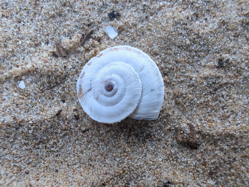
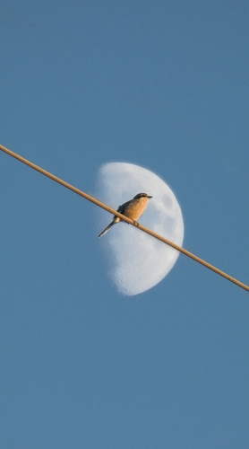
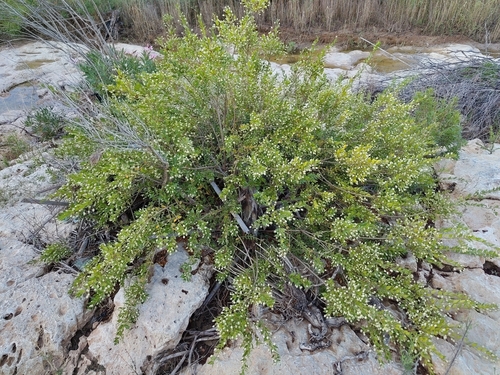
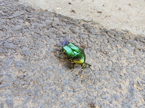
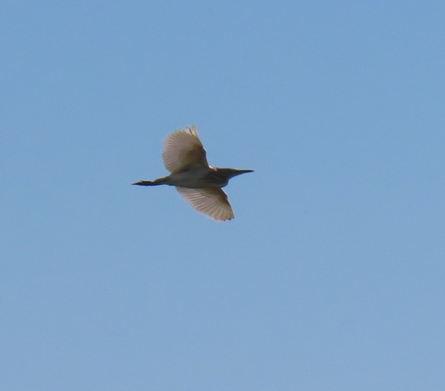
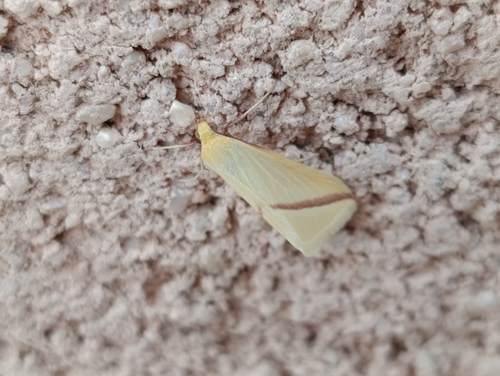
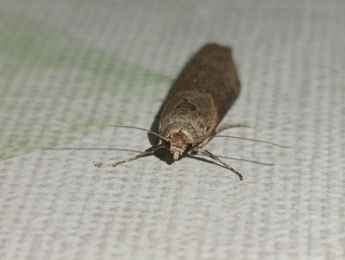
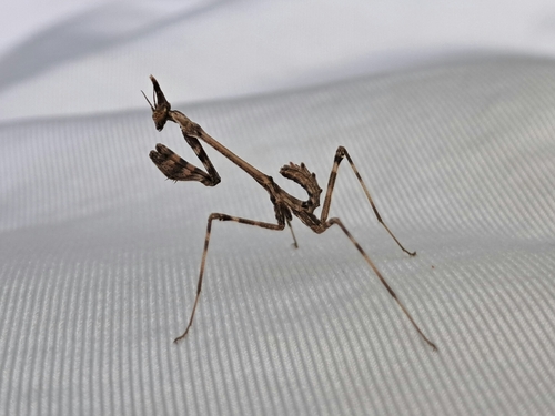
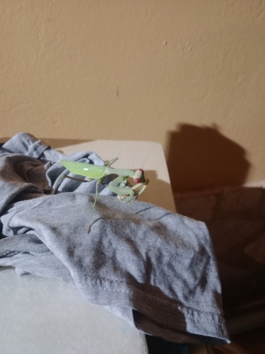
Research-grade observations from iNaturalist (within ~15 mi).
Events
Gallery
Sources
- • Wikipedia
- • Wikidata
- • iNaturalist