Browse / Spain / Andalusia / Cartaya
Cartaya
Andalusiatown

Cartaya
Total population
16,099
Demographic figures from INE (Spain). Overview below cites Wikipedia and may reference a different year.
City facts
Facts from Wikidata (CC0).
Overview
Cartaya is a Spanish locality and municipality in the Province of Huelva,. According to the 2025 municipal register, it has a population of 21,741 inhabitants. Its surface area is 226.4 km2 and has a density of 81.34 people per km2.
Read more on WikipediaHistory & geography
History
There is little prehistoric archaeological evidence in the area. Around the mouth of the Piedra, small pieces of Lower Paleolithic stone tools have been found: mostly early acheulean deposits (edges, some bifaces and beaks) or Mousterian deposits from the Middle Paleolithic. Cartaya found itself close to the Roman road linking the cities of Praesidio and Ad Rubras. This was an area dedicated to the pottery industry – especially the manufacture of amphorae – which may have been destined for the settlement of Punta Umbría or Onuba Aesturia. In the later Roman period, the Visigoths arrived in Iberia. However, – in common with most of the Huelva region – Cartaya shows little significant evidence of their presence. During the time of Al-Andalus, these lands were known as Cashtm. At first, Cashtm was part of the Kūra of Labla, belonging to Għarb al-Andalus. After the fall of the Caliphate of Córdoba in 1012, it became part of the Taifa of Huelva. In 1052, these territories came under the control of the Taifa of Seville. In 1262, Alfonso X the Wise captured the cities of Niebla and Huelva and the region came once again under Christian rule. The province of Huelva became an important frontier territory – part of the "Banda Gallega" which was formed to prevent the eastward expansion of Portugal. By 1269, the river Piedra had been established as the border between Cartaya and Lepe. At that time, maps suggest, the Piedra met the sea at the present-day site of El Rompido. During the 15th and 16th centuries, the territory of Cartaya came under the rule of the house of Zuñiga. Against the opposition of Alfonso de Guzmán, lord of Ayamonte and Lepe, Don Pedro de Zuñiga y Manrique de Lara won the right to establish a ferry across the river Piedra. In doing so, he founded the town…
Geography
Cartaya is located west of Huelva and from Seville. ;Location The municipality of Cartaya is located in the southwest of the province of Huelva. It lies on the estuary of the Piedra river, which forms the southern and eastern edge of the territory. The main settlement of Cartaya is situated upstream on the east bank of the Piedra. The smaller settlement of El Rompido is further upstream, on the estuary itself, while El Portil – which falls partly within Punta Umbría – is right at the river-mouth, on the Atlantic coast. The municipality covers an area of with an average altitude of 26 masl. Another local landmark is the Lagoon of El Portil. ;Geodesic data {|class="wikitable" align="center" style="margin:1em auto;" |+ Cartaya's geodesic vertices |- style="background:#efefef;" !Municipal area!!Geodesic point!!Altitude!!Number!!MTN leaf!!Coordeinates |- |Cartaya||Miramundo ||170,158||98093||980|| |} The region has a Mediterranean climate. The winters are very mild, with temperatures rarely dropping below 10 °C; the summers are warm, generally reaching highs of over 30 °C in July and August. Precipitation is not very abundant. The table below shows the average temperature and rainfall by month for the year 2007: The principal river is the Piedra, which forms the boundary between the municipalities of Cartaya and Lepe. The river's source is in the municipality of El Almendro, although many tributary streams rise in the municipality of Villanueva de los Castillejos. At one time, the river mouth was by the village of El Rompido, whose name derives from the ocean waves breaking against the river sediment. However, the sediments deposited by the river have built up over time in an easterly direction, giving rise to features such as the "Arrow of Nueva…
Excerpted from the corresponding Wikipedia article (CC BY-SA).
Geography
Coordinates & boundaries from the US Census TIGER/Line shapefiles.
Climate
Air quality
Walkability
Amenities nearby
Wildlife & biodiversity
Earthquake history
Photos
Sights & places nearby
Notable people from here


People born within ~10 km, from Wikidata (CC0). Click any name for their Wikipedia article.
Nearby places in Andalusia
- Aljaraque7.2 mi away · pop. 10,646
- San Juan del Puerto17.4 mi away · pop. 9,650
- Alosno18.6 mi away · pop. 2,123
- Trigueros18.9 mi away · pop. 7,927
- Mazagón18.9 mi away · pop. 1,070
- El Granado21.8 mi away · pop. 435
- Beas22.2 mi away · pop. 3,729
- Lucena del Puerto23.5 mi away · pop. 2,566
- Calañas29.8 mi away · pop. 2,476
- Rociana del Condado30.6 mi away · pop. 7,937
- Cabezas Rubias30.8 mi away · pop. 671
- Villarrasa31 mi away · pop. 1,996
Geography & sun
Elevation, sunrise/sunset and daylight from Open-Meteo. Solar climatology from NASA POWER.
Nearby airports
Public attention
Pageview totals from the Wikimedia Pageviews API.
Books about this place
Recent natural events nearby
Ground air-quality sensors
Recently spotted species
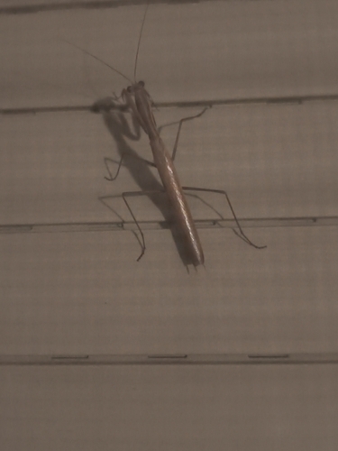
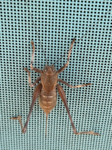
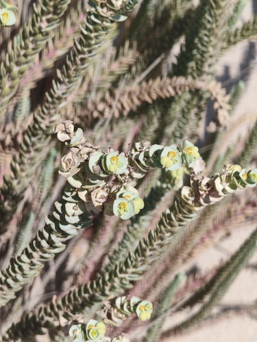
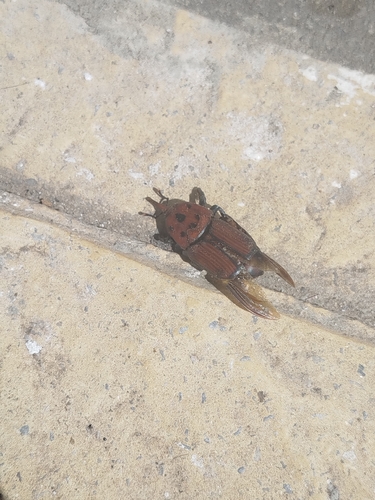
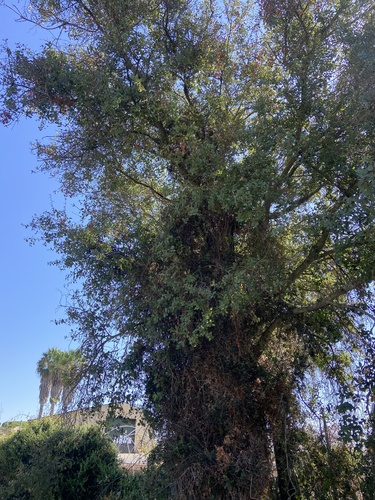
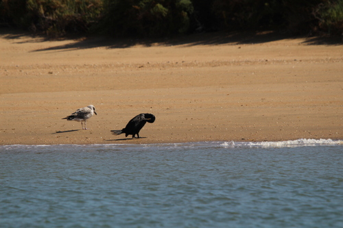
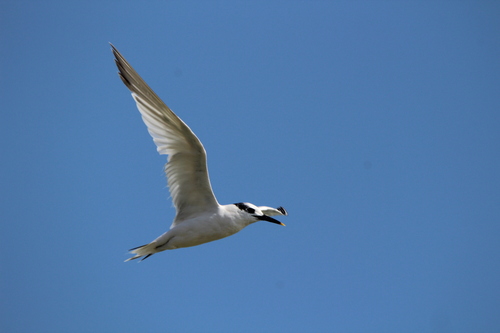
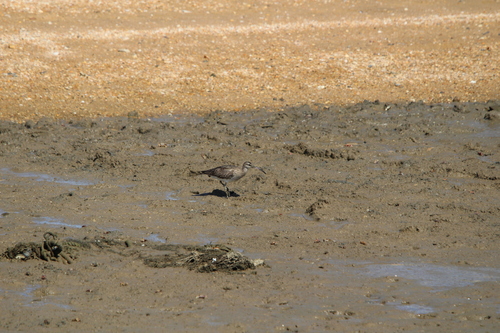
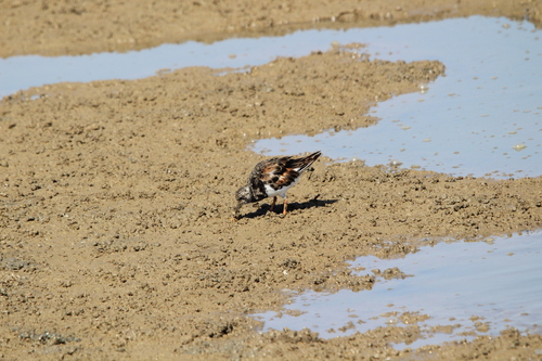
Research-grade observations from iNaturalist (within ~15 mi).
Events
Gallery
Sources
- • Wikipedia
- • Wikidata
- • iNaturalist
- • Open-Meteo / sunrise-sunset.org
- • Wikipedia Pageviews API