Browse / Spain / Castile-La Mancha / Consuegra
Consuegra
Castile-La Manchatown

Consuegra
Total population
9,760
Demographic figures from INE (Spain). Overview below cites Wikipedia and may reference a different year.
City facts
Sister cities
Facts from Wikidata (CC0).
Overview
Consuegra is a municipality of Spain belonging to the province of Toledo, in the autonomous community of Castile-La Mancha. In 2018, the municipality had a population of 10,098 inhabitants. It is 80 km from Ciudad Real and 60 km from Toledo. Consuegra is located in La Mancha region, famous for its extensive dry plains, vineyards and historical constructions such as windmills.
Read more on WikipediaHistory & geography
History
The urban origins lie on a pre-Roman hilltop settlement (oppidum) on the Cerro Calderico, identified as belonging to the indigenous Carpetani. Following Roman subjugation of the Carpetania, the population moved to the plain in between the northern slope of the Cerro Calderico and the Amarguillo river. Identified with the Roman city of Consabura, it was promoted to the status of municipium under the Flavian dynasty. The Romans dammed the river Amarguillo upstream from Consuegra to regulate the water supply. After the Arab conquest, the majority of the Hispanic and Visigothic population remained in the town. The castle dates from this period. After the reconquista of Toledo in 1085 by Alfonso VI of Leon, Consuegra came under Castilian rule. In 1097, Diego, the son of El Cid, was killed in the Battle of Consuegra. In this battle, the Castilian army was defeated by the Almoravids under the command of Yusuf ibn Tashfin, which temporarily brought Consuegra back under Islamic rule. The castle was once a stronghold of the Knights Hospitaller of the Order of St. John of Jerusalem, part of the order's dominion in the Campo de San Juan. On 11 September 1891, a flood of the Amarguillo caused catastrophic damage to the town, and 359 deaths. In 1976, Consuegra made news worldwide as the only municipality in Spain that had reported a majority "no" vote in the 1976 Spanish political reform referendum, with an official result reported of 2,909 votes against democratic reforms and only 2,371 in favor. Overall, 94.2% of Spanish voters had approved the changes. The reported results prompted an angry response from village residents who accused the town's leaders of fraud, and the provincial election board voted to annul the results.
Geography
Consuegra is located in the southeast of the province of Toledo, near the eastern fringes of the Montes de Toledo. Current-day housing developed near the Amarguillo river and the Cerro Calderico (a 828 m- hill rising circa 100 m above the course of the river), with the plains of La Mancha opening to the north, east and southeast. It lies on the CM-42 road route connecting Toledo and Tomelloso, close to the A-3 road route connecting central Spain and Andalusia. Annual precipitation average in the area is below 400 mm and the climate features a summer drought typical of a mediterranean climate.
Excerpted from the corresponding Wikipedia article (CC BY-SA).
Geography
Coordinates & boundaries from the US Census TIGER/Line shapefiles.
Climate
Air quality
Walkability
Amenities nearby
Wildlife & biodiversity
Earthquake history
Photos
Sights & places nearby
Notable people from here
Nearby places in Castile-La Mancha
- Madridejos4 mi away · pop. 10,035
- Camuñas8.4 mi away · pop. 1,729
- Turleque9.7 mi away · pop. 689
- Herencia14.9 mi away · pop. 8,610
- Manzaneque15.6 mi away · pop. 411
- Tembleque17.3 mi away · pop. 1,957
- Arenas de San Juan17.6 mi away · pop. 986
- Mora17.7 mi away · pop. 10,033
- Villacañas18.1 mi away · pop. 9,491
- Villarta de San Juan18.2 mi away · pop. 2,657
- La Villa de Don Fadrique23.4 mi away · pop. 3,515
- La Guardia23.6 mi away · pop. 2,175
Geography & sun
Elevation, sunrise/sunset and daylight from Open-Meteo. Solar climatology from NASA POWER.
Nearby airports
Public attention
Pageview totals from the Wikimedia Pageviews API.
Books about this place
Recent natural events nearby
Ground air-quality sensors
Recently spotted species
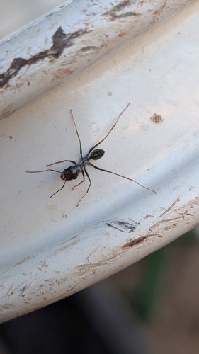
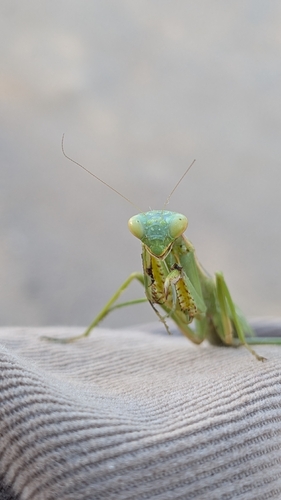
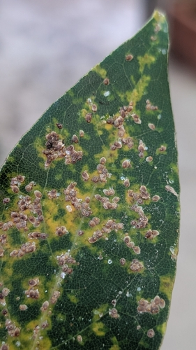

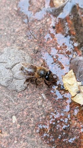
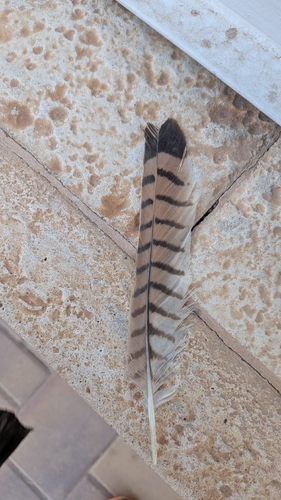
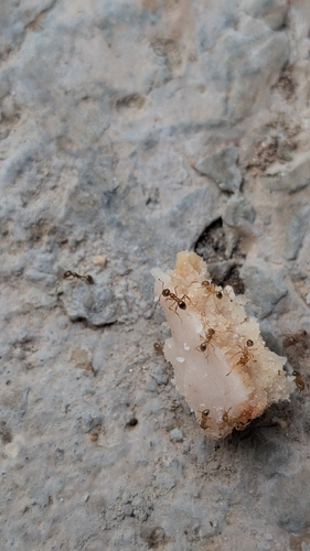
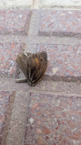
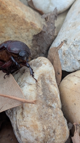
Research-grade observations from iNaturalist (within ~15 mi).
Events
Gallery
Geotagged photos within ~6 miles of Consuegra, from Wikimedia Commons contributors.
 0.1 mi
 0.2 mi
 0.2 mi
.jpg) 0.3 mi
0.3 mi 0.3 mi
 0.3 mi
.jpg) 0.3 mi
0.3 mi.jpg) 0.3 mi
0.3 mi.jpg) 0.3 mi
0.3 mi 0.4 mi
 0.4 mi
 0.5 mi
 0.5 mi
 0.6 mi
 0.6 mi
_-_Spain_-_panoramio.jpg) 0.6 mi
0.6 mi 0.6 mi
.jpg) 0.6 mi
0.6 mi 0.6 mi
 0.6 mi
 0.6 mi
 0.6 mi
 0.6 mi
.jpg) 0.6 mi
0.6 miPhotos via Wikimedia Commons — see each image page for license & attribution.
Sources
- • Wikipedia
- • Wikimedia Commons
- • Wikidata
- • iNaturalist
- • Open-Meteo / sunrise-sunset.org
- • Wikipedia Pageviews API