Browse / Spain / Andalusia / Gines
Gines
Andalusiatown

Gines
Total population
13,660
Air quality index
Demographic figures from INE (Spain). Overview below cites Wikipedia and may reference a different year.
City facts
Facts from Wikidata (CC0).
Overview
Gines is a municipality in the south-west Spain, in the province of Seville, Andalusia. It is part of the metropolitan area of Seville. Gines has a population of 13,529 inhabitants as of 2021 and an area of 2.9 km2 (1.1 sq mi).
Read more on WikipediaHistory & geography
History
Gines was named Ab-Gena in the ancient times. Some small funerary ornaments from the time of the megaliths have been found, that would indicate that the inhabitants of this time professed the religion of the Sun and they known art of metal casting. La Pastora and Matarrubilla dolmens, dated about 3,000 BC, are located about 2 km from city center although belonging to the city limits of Valencina. We suppose that the few families that inhabited the land would lead an existence of small farmers and hunters. Later, Gines would be part of the Tartessian territory. In Roman times, Ab-Genna was constituted as a villa. There are signs that Ab-Genna was commanded by a dismissed military, placing the villa in the vicinity of the current Hacienda of the Holy Angel (Hacienda del Santo Ángel), to which more dwellings were added around as the population increased. Although there is no documentation about this subject, we suppose that the small Ab-Genna should have had links to Italica, being a few kilometers apart. After the fall of the Empire, Gines was occupied by the Visigoths until the 8th century, although there is little documentary information on the subject. After the Muslim invasion commanded by Tariq and Mussa in 711, the whole Aljarafe was occupied by Muslim leaders. Ab-Genna was renamed al-Genne or Gines, which in Arabic means Garden of Eden. The Aljarafe was used as settlements for Yemeni and Muladi families, who were at enmity after the conquest because of the distribution of the land. From the Almohad period (12th or 13th century), underground galleries have been found in 2017, located about below the Conde de Ofalia street and measuring about in length. It is thought that they were used to store grain or oil. The conquest of Isbiliya by Ferdinand III in 1248…
Geography
Gines is located on the Aljarafe plateau, at an altitude of 123 metres above sea level and about 6 km from Seville (which is almost at sea level). The municipalities closest to Gines are Bormujos, Valencina de la Concepción, Espartinas and Castilleja de la Cuesta, with which it is surrounded, forming a conurbation. Settled on fertile land with good drain and a low level of erosion, however, the natural environment of Gines is strongly anthropized, as a result of the urbanization of most of the municipality area. The traditional agrarian system, based mainly on olive grooves, has been gradually reduced to its practical disappearance. This process has led, practically, to the non-existence of singular natural elements in the municipality. The relief of Gines is undulating, being the highest areas the old town and El Majelo quarter, and the lowest areas that built near the old basin of the Sequillo stream and those near the former road to Huelva. From a geological point of view, Gines is located within the geological unit corresponding to the Baetic depression, formed mainly by sands, sandstones with calcareous cement and marls deposited during the upper Miocene. Like most Mediterranean climates, Gines is drier during summers and wetter during winters. The annual average temperature is . With an average temperature of , August is the hottest month of the year, while January is the coldest one with . The annual average rainfall is , November is the wettest month with of rain and July is the driest one, with an average of . Snowfall is virtually unknown. The last important snowfall was the 2 February 1954, albeit the 10 January 2010 some snowflakes fell down, without setting.
Excerpted from the corresponding Wikipedia article (CC BY-SA).
Geography
Coordinates & boundaries from the US Census TIGER/Line shapefiles.
Climate
Air quality
Current readings from Open-Meteo Air Quality API (Copernicus CAMS European reanalysis).
Walkability
Amenities nearby
Wildlife & biodiversity
Most-observed species
- House SparrowPasser domesticus (Linnaeus, 1758) · Aves8,601
- Eurasian BlackbirdTurdus merula Linnaeus, 1758 · Aves8,452
- Eurasian Collared-DoveStreptopelia decaocto (Frivaldszky, 1838) · Aves6,591
- European GreenfinchChloris chloris (Linnaeus, 1758) · Aves6,309
- Spotless StarlingSturnus unicolor Temminck, 1820 · Aves5,581
- European SerinSerinus serinus (Linnaeus, 1766) · Aves4,744
- Rose-ringed ParakeetPsittacula krameri (Scopoli, 1769) · Aves4,532
- MallardAnas platyrhynchos Linnaeus, 1758 · Aves4,239
Citizen-science & research observations from the Global Biodiversity Information Facility (GBIF).
Earthquake history
Most recent
- M 4 — 2021-10-198 km W of Villanueva de San Juan, Spain
- M 4.4 — 2019-10-252 km ENE of Olvera, Spain
- M 4.6 — 2014-08-191 km WNW of Puerto Serrano, Spain
- M 3.1 — 2008-11-256 km SE of Morón de la Frontera, Spain
- M 3.3 — 2008-11-237 km SSE of Morón de la Frontera, Spain
- M 2.6 — 2008-10-146 km SSE of Morón de la Frontera, Spain
Events from the USGS Earthquake Catalog (global) (FDSN Event Web Service).
Photos
Sights & places nearby
Notable people from here


People born within ~10 km, from Wikidata (CC0). Click any name for their Wikipedia article.
Nearby places in Andalusia
- Castilleja de la Cuesta1.3 mi away · pop. 17,068
- Espartinas2.6 mi away · pop. 7,631
- Villanueva del Ariscal3.7 mi away · pop. 6,931
- Umbrete4.5 mi away · pop. 9,311
- Olivares4.7 mi away · pop. 9,416
- Almensilla5.7 mi away · pop. 6,107
- Sanlúcar la Mayor6.8 mi away · pop. 12,235
- La Rinconada8.7 mi away · pop. 10,600
- Torre de la Reina9.1 mi away · pop. 1,609
- Alcalá del Río10.4 mi away · pop. 9,970
- Guillena11 mi away · pop. 9,386
- Carrión de los Céspedes13.8 mi away · pop. 2,638
Geography & sun
Elevation, sunrise/sunset and daylight from Open-Meteo. Solar climatology from NASA POWER.
Nearby airports
Public attention
Pageview totals from the Wikimedia Pageviews API.
Books about Gines

Search results from Open Library.
Recent natural events nearby
Ground air-quality sensors
Recently spotted species
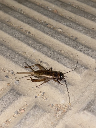
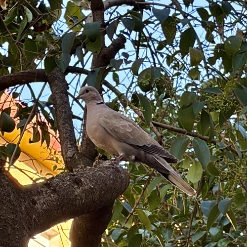
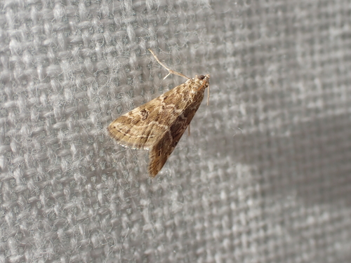
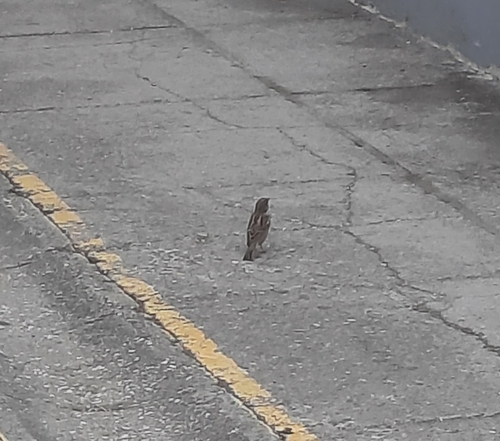

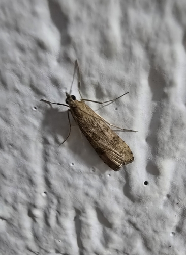
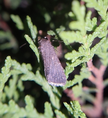
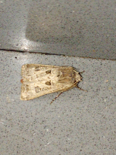
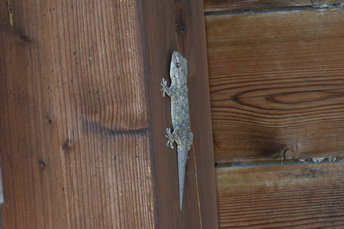
Research-grade observations from iNaturalist (within ~15 mi).
Events
Gallery
Sources
- • Wikipedia
- • Wikidata
- • Open-Meteo Air Quality (CAMS)
- • USGS Earthquake Catalog (global feed)
- • GBIF (Global Biodiversity Information Facility)
- • iNaturalist
- • Open-Elevation
- • Open-Meteo / sunrise-sunset.org
- • Wikipedia Pageviews API
- • Open Library