Browse / Spain / Castile-La Mancha / Hellín
Hellín
Castile-La Manchatown

Hellín
Total population
25,430
Demographic figures from INE (Spain). Overview below cites Wikipedia and may reference a different year.
City facts
Facts from Wikidata (CC0).
Overview
Hellín is a city and municipality of Spain located in the province of Albacete, Castilla–La Mancha. The municipality spans across a total area of 781.66 km2. As of 1 January 2020, it has a population of 30,200, which makes it the second largest municipality in the province. It belongs to the comarca of Campos de Hellín.
Read more on WikipediaHistory & geography
History
There is an archaeological site at Tolmo de Minateda hill near Hellín, with phases of Iberian, Roman and Visigoth occupation. There are archaeological evidences suggesting that the Minateda site may have stood at some point at the Byzantine side of the limes. A tentative identification with the Iyih mentioned in the Pact of Theodemir has been also proposed. Minateda was thus probably known as Madinat Iyyuh during the Islamic period. The Arabic name of Hellín was however Falyān, which eventually evolved into 'Felín', and then 'Hellín'. The importance of the Sulfur-rich mining district in the south of the municipality led to the creation of a mining community in the area (Las Minas), that became a leading producer of sulfur in southwestern Europe during the 18th and 19th centuries. Railway arrived in the town in 1864, with the opening of the Chinchilla–Hellín stretch on 18 January and the Hellín– stretch on 8 October. Hellín was granted the title of city (ciudad) in 1898. Esparto cultivation increased in the first decades of the 20th century, peaking in importance during the Autarky period of the Francoist dictatorship, with the expansion of irrigated crops.
Excerpted from the corresponding Wikipedia article (CC BY-SA).
Geography
Coordinates & boundaries from the US Census TIGER/Line shapefiles.
Climate
Air quality
Walkability
Amenities nearby
Wildlife & biodiversity
Earthquake history
Photos
Sights & places nearby
Notable people from here
Nearby places in Castile-La Mancha
- Ontur13 mi away · pop. 1,892
- Aýna20.3 mi away · pop. 409
- Pétrola23.1 mi away · pop. 539
- Balazote35.6 mi away · pop. 2,346
- Riópar38.8 mi away · pop. 1,155
- Alpera40 mi away · pop. 2,302
- Pozo-Lorente40.5 mi away · pop. 388
- Almansa40.8 mi away · pop. 23,816
- Caudete40.8 mi away · pop. 9,715
- Casas de Juan Núñez41.6 mi away · pop. 1,403
- Valdeganga43.2 mi away · pop. 1,960
- Cotillas44 mi away · pop. 82
Geography & sun
Elevation, sunrise/sunset and daylight from Open-Meteo. Solar climatology from NASA POWER.
Nearby airports
Public attention
Pageview totals from the Wikimedia Pageviews API.
Books about this place
Recent natural events nearby
Ground air-quality sensors
Recently spotted species
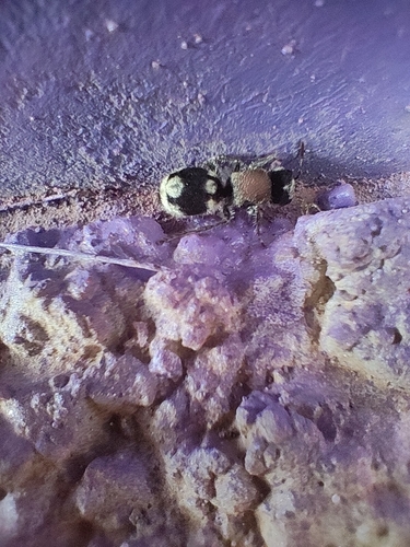
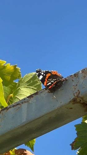
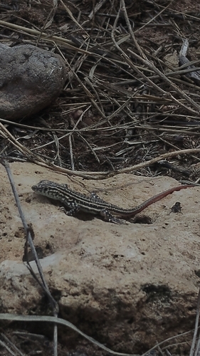
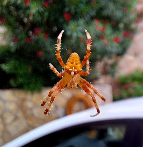
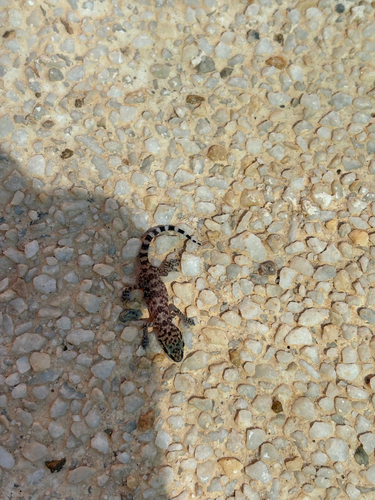
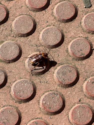
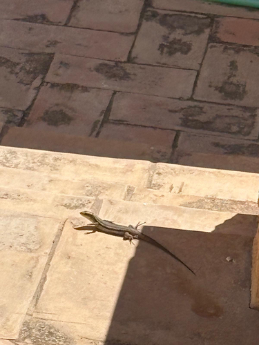
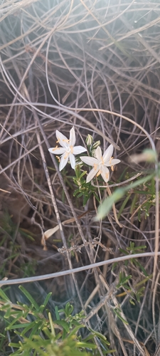
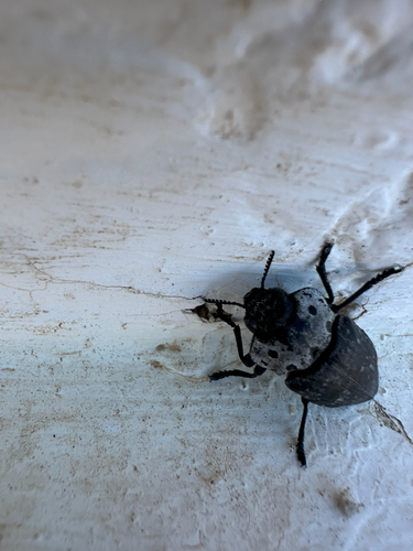
Research-grade observations from iNaturalist (within ~15 mi).
Events
Gallery
Sources
- • Wikipedia
- • Wikidata
- • iNaturalist
- • Open-Meteo / sunrise-sunset.org
- • Wikipedia Pageviews API