Browse / Spain / Basque Country / Izurtza
Izurtza
Basque Countryvillage
Total population
223
Demographic figures from INE (Spain). Overview below cites Wikipedia and may reference a different year.
City facts
Facts from Wikidata (CC0).
Overview
Izurtza is a small village that lies in Basque Country, Spain. Public datasets list a population of roughly 223. On the world map it falls within the Western Hemisphere, specifically at 43.154°, -2.640°. Open solar datasets indicate about 1,333 kWh/m² of solar irradiance per year, combined with sunshine for roughly 52% of daylight hours. Based on its temperate position, residents likely encounter four distinct seasons with warm summers and cold winters. Open-data panels below dive into population trends, climate normals, environmental indicators and nearby places.
Summary composed automatically from structured open data on this page. See our Terms for details.
History & geography
History
As happens with most of the elizates, the origins and date of foundation of the town are unknown. According to the local tales, the tower of Etxaburu, which is located on a hill above the town, was built following the orders of the Roman Emperor Antoninus Pius. The tower was afterwards destroyed by Henry IV of Castile and built again in the 16th century by Sancho López de Ibargüen. Also on this century the church of the town, named San Nicolás Obispo was built. Izurtza was part of the merindad of Durango, and it had voice and right to vote in the Juntas of Guerendiaga, where it occupied the seat number eleven.
Geography
Izurtza is located in the southeastern part of the province of Biscay, northern Spain. It is one of the smallest municipalities of the province by extension. It limits at north and west with Durango, at south with Mañaria and at east with Abadiño. Izurtza is situated between the Mugarra and Untxillaitz mountains and the Mañaria River runs through it. The road BI-623 that connects Durango with Vitoria-Gasteiz crosses the town from north to south. Izurtza is made by a small urban core surrounding the BI-623 road and farming houses scattered through the hillsides. Izurtza is located in a valley formed by the Mañaria river that originates in the hillsides of the mountains and later joins the Ibaizabal river.
Excerpted from the corresponding Wikipedia article (CC BY-SA).
Geography
Coordinates & boundaries from the US Census TIGER/Line shapefiles.
Climate
Air quality
Walkability
Amenities nearby
Wildlife & biodiversity
Earthquake history
Photos
Sights & places nearby
Notable people from here
Nearby places in Basque Country
- Durango1.2 mi away · pop. 30,090
- Mañaria1.5 mi away · pop. 377
- Abadiño1.6 mi away
- Atxondo3.2 mi away
- Zaldibar4.7 mi away · pop. 2,888
- Elorrio5.2 mi away · pop. 6,443
- Dima5.7 mi away · pop. 545
- Mallabia6 mi away · pop. 630
- Zeanuri6.8 mi away · pop. 562
- Elgeta7.8 mi away · pop. 1,016
- Otxandio7.9 mi away · pop. 1,264
- Ibarra8 mi away · pop. 731
Geography & sun
Elevation, sunrise/sunset and daylight from Open-Meteo. Solar climatology from NASA POWER.
Nearby airports
Public attention
Pageview totals from the Wikimedia Pageviews API.
Books about this place
Recent natural events nearby
Ground air-quality sensors
Recently spotted species
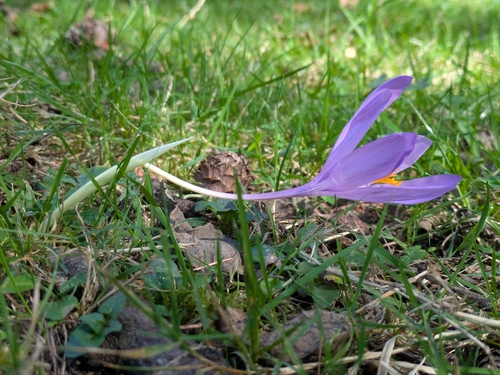

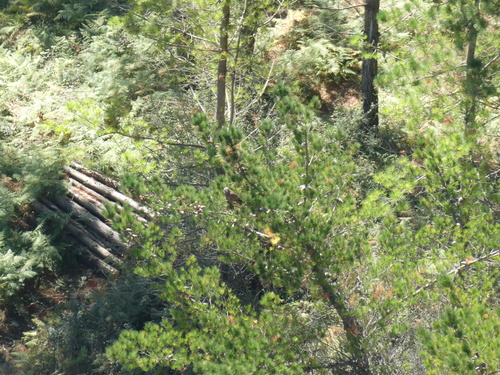
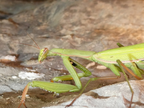
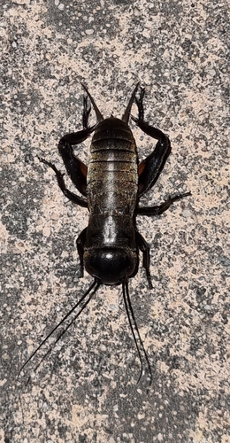
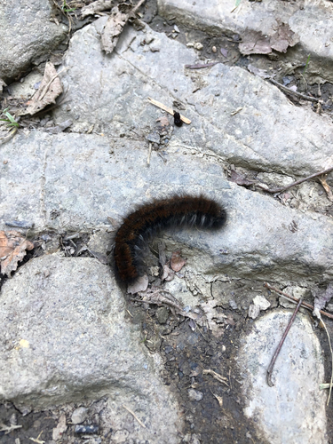



Research-grade observations from iNaturalist (within ~15 mi).
Events
Gallery
Sources
- • Wikipedia
- • Wikidata
- • iNaturalist
- • Open-Meteo / sunrise-sunset.org
- • Wikipedia Pageviews API