Browse / Spain / Catalonia / l'Ametlla de Mar
l'Ametlla de Mar
Cataloniavillage

l'Ametlla de Mar
Total population
4,758
Founded
1891
Demographic figures from INE (Spain). Overview below cites Wikipedia and may reference a different year.
City facts
Sister cities
- Palamós
- Barra Patuca
- Villeneuve-de-la-Raho
Facts from Wikidata (CC0).
Overview
L'Ametlla de Mar, also called la Cala, is a municipality within the comarca of Baix Ebre, situated in the coastal region between the "Cap de Terme" and the "barranc de l'Àliga". It is limited to the south by the boundary with El Perelló, to the north-west with that of Tivissa, the Ebro riviera, and to the north-east with that of Vandellós and l'Hospitalet de l'Infant.
Read more on WikipediaHistory & geography
Geography
Coordinates & boundaries from the US Census TIGER/Line shapefiles.
Climate
Air quality
Walkability
Amenities nearby
Wildlife & biodiversity
Earthquake history
Photos
Sights & places nearby
Notable people from here


People born within ~10 km, from Wikidata (CC0). Click any name for their Wikipedia article.
Nearby places in Catalonia
- l'Ampolla7 mi away · pop. 3,396
- Tivissa11.5 mi away · pop. 1,163
- Pratdip12.1 mi away · pop. 368
- Sant Jaume d'Enveja13 mi away · pop. 3,081
- Rasquera13.5 mi away · pop. 707
- Benissanet14.8 mi away · pop. 1,040
- Capçanes15 mi away · pop. 438
- Miravet15.1 mi away · pop. 617
- Els Guiamets15.3 mi away · pop. 249
- Benifallet16.1 mi away · pop. 646
- Mont-roig del Camp16.2 mi away · pop. 3,065
- Xerta16.3 mi away · pop. 993
Geography & sun
Nearby airports
Public attention
Books about this place
Recent natural events nearby
Ground air-quality sensors
Recently spotted species
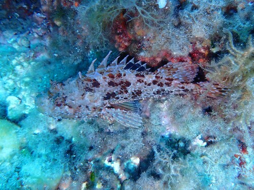
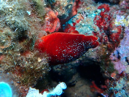
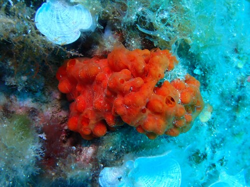
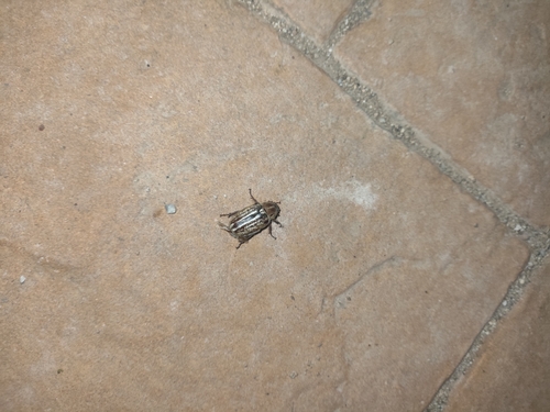
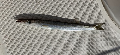
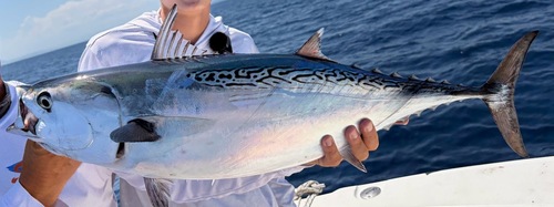
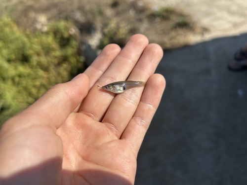
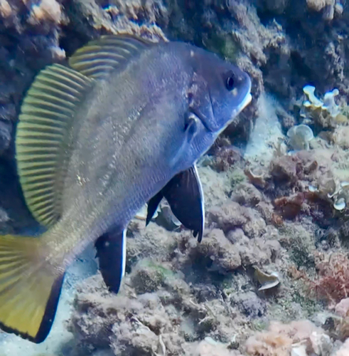
Research-grade observations from iNaturalist (within ~15 mi).
Events
Gallery
Sources
- • Wikipedia
- • Wikidata
- • iNaturalist