Browse / Spain / Catalonia / l'Hospitalet de Llobregat
l'Hospitalet de Llobregat
Cataloniacity

l'Hospitalet de Llobregat
Total population
292,161
Demographic figures from INE (Spain). Overview below cites Wikipedia and may reference a different year.
City facts
Facts from Wikidata (CC0).
Overview
L'Hospitalet de Llobregat, often shortened to L'Hospitalet or just L'H, is a city and municipality in the autonomous community of Catalonia in Spain. It is part of the Barcelona metropolitan area, the Barcelona province, the Barcelonès comarca and of the Barcelona conurbation. With a population of 282,299 as of 2024, it is the 15th-largest city in Spain and the 2nd-largest city in Catalonia.
Read more on WikipediaHistory & geography
History
The first records of the settlement date to the Neolithic era with artefacts showing human habitation in the Llobregat river area. Roman artefacts have been found dating to the 2nd century BC such as a funeral decoration representing the head of Medusa, now in the Archaeological Museum of Catalonia. However it is not until the 10th century that written references to Provençana (the city's original name) appear. The place had about 5,000 inhabitants by the turn of the 20th century. Throughout the early 20th century, it consisted of three different urban settlements, Centre, Sta. Eulàlia and Collblanc. Local agricultural output and profitability experienced a peak in this period. A chunk of the municipality (900 ha) was lost to the municipality of Barcelona in 1920. L'Hospitalet then became a primarily industrial municipality, focused on textile, metalworking, ceramic and building materials industries. The 1960s and 1970s saw a second population boom, caused by immigration from poorer regions of Spain: however this was not matched by construction of the necessary amenities and it was only in the 1990s that public investment resulted in additional schools, leisure facilities and housing.
Geography
L'Hospitalet's surface is . The area on which the city is constructed may be divided in two different geological areas. One of them follows the coast typology and is called La Marina, similarly to two coast areas of neighbouring Barcelona's Zona Franca: La Marina del Prat Vermell and La Marina de Port. The latter half of L'Hospitalet is called El Samontà, which consists of hills and a more elevated area.
Excerpted from the corresponding Wikipedia article (CC BY-SA).
Geography
Coordinates & boundaries from the US Census TIGER/Line shapefiles.
Climate
Air quality
Walkability
Amenities nearby
Wildlife & biodiversity
Earthquake history
Photos
Sights & places nearby
Notable people from here
Nearby places in Catalonia
- Olivella15.3 mi away · pop. 59
- Piera21.2 mi away · pop. 7,790
- les Cabanyes21.3 mi away · pop. 1,046
- Vallbona d'Anoia23.1 mi away · pop. 1,420
- Mura24.4 mi away · pop. 183
- el Pont de Vilomara26.4 mi away · pop. 2,817
- l'Arboç26.5 mi away · pop. 5,612
- Cànoves26.6 mi away · pop. 368
- Banyeres del Penedès27.5 mi away · pop. 1,802
- Òdena29.2 mi away · pop. 1,400
- Calafell29.7 mi away · pop. 4,807
- Moià31.3 mi away · pop. 5,865
Geography & sun
Nearby airports
Public attention
Books about this place
Recent natural events nearby
Ground air-quality sensors
Recently spotted species
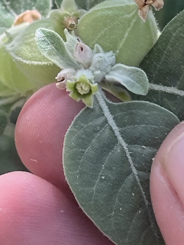
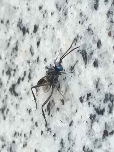
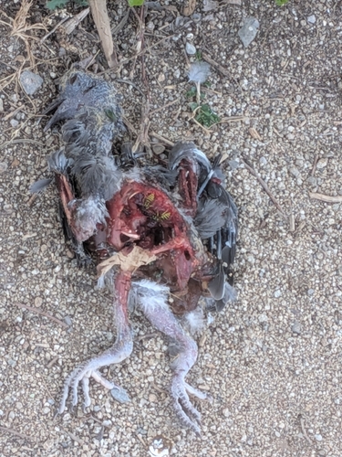
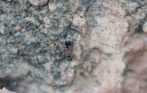
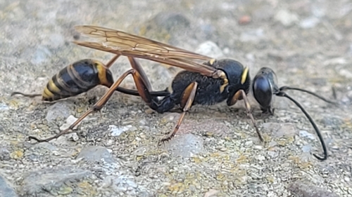
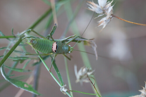
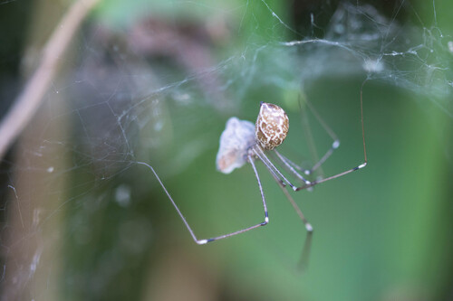
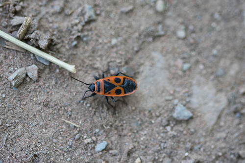
Research-grade observations from iNaturalist (within ~15 mi).
Events
Gallery
Sources
- • Wikipedia
- • Wikidata
- • iNaturalist