Browse / Spain / Madrid / Madrid
Madrid
Madridcity

Madrid
Total population
3,477,497
Air quality index
Demographic figures from INE (Spain). Overview below cites Wikipedia and may reference a different year.
City facts
Sister cities
Facts from Wikidata (CC0).
Overview
Madrid is the capital and largest city of Spain. It had a population of over 3.4 million in the city proper in 2025, and a metropolitan area population of approximately 6.8 million. Madrid is the second-largest city in the European Union (EU), after Berlin, and its metropolitan area is the second-largest in the EU, after Paris. The municipality covers an area of 605.77 square kilometres (233.89 sq mi). Madrid lies on the River Manzanares in the central part of the Iberian Peninsula at about 660 metres (2,170 ft) above mean sea level. The capital city of both Spain and the surrounding autonomous community of Madrid, it is the political, economic and cultural centre of the country.
Read more on WikipediaHistory & geography
History
The site of modern-day Madrid has been occupied since prehistoric times. There are archaeological remains of the Celtic Carpetani settlement, Roman villas, a Visigoth basilica near the church of Santa María de la Almudena and three Visigoth necropolises near Casa de Campo, Tetuán and Vicálvaro. The first historical document about the existence of an established settlement in Madrid dates from the Muslim age. In the second half of the 9th century, Umayyad Emir Muhammad I built a fortress on a headland near the river Manzanares as one of the many fortresses he ordered built on the border between Al-Andalus and the kingdoms of León and Castile, with the objective of protecting Toledo from Christian attacks from the North and as a starting point for Muslim offensives. After the disintegration of the Caliphate of Córdoba in the early 11th century, Madrid was integrated in the Taifa of Toledo. In the context of the wider campaign for the conquest of the taifa of Toledo initiated in 1079, Madrid was seized in 1083 by Alfonso VI of León and Castile, who sought to use the town as an offensive outpost against the city of Toledo, in turn conquered in 1085. Following the conquest, Christians occupied the centre of the city, while Muslims and Jews were displaced to the suburbs. Madrid, located near Alcalá (under Muslim control until 1118), remained a borderland for a while, suffering a number of razzias during the Almoravid period, and its walls were destroyed in 1110. Madrid was confirmed as villa de (linked to the Crown) in 1123, during the reign of Alfonso VII. The 1123 Charter of Otorgamiento established the first explicit limits between Madrid and Segovia, namely the Puerto de El Berrueco and the Puerto de Lozoya. Beginning in 1188, Madrid had the right to be a city with…
Geography
Madrid lies in the centre of the Iberian peninsula on the southern Meseta Central, 60 kilometres south of the Guadarrama mountain range and straddling the Jarama and Manzanares river sub-drainage basins, in the wider Tagus River catchment area. With an average altitude of , Madrid is the second-highest capital of Europe, after Andorra la Vella. The difference in altitude within the city proper ranges from the around Plaza de Castilla in the north of city to the around La China wastewater treatment plant on the Manzanares' riverbanks, near the latter's confluence with the Fuente Castellana thalweg in the south of the city. The Monte de El Pardo, a protected forested area covering over a quarter of the municipality, reaches its top altitude () on its perimeter, in the slopes surrounding located at the north-western end of the municipality, in the Fuencarral-El Pardo district. The oldest urban core is located on the hills next to the left bank of the Manzanares River. including those to the South West on the right bank of the Manzanares. Madrid has the second highest number of aligned trees in the world, with 248,000 units, only exceeded by Tokyo. Madrid's citizens have access to a green area within a 15-minute walk. Since 1997, green areas have increased by 16%. At present, 8.2% of Madrid's grounds are green areas, meaning that there are of green area per inhabitant, far exceeding the per inhabitant recommended by the World Health Organization. A great bulk of the most important parks in Madrid are related to areas originally belonging to the royal assets (including El Pardo, Soto de Viñuelas, Casa de Campo, El Buen Retiro, la Florida and the Príncipe Pío hill, and the Queen's Casino). The other main source for the "green" areas are the owned by the…
Excerpted from the corresponding Wikipedia article (CC BY-SA).
Geography
Coordinates & boundaries from the US Census TIGER/Line shapefiles.
Climate
Air quality
Current readings from Open-Meteo Air Quality API (Copernicus CAMS European reanalysis).
Walkability
Amenities nearby
Wildlife & biodiversity
Most-observed species
- Eurasian MagpiePica pica (Linnaeus, 1758) · Aves49,743
- Common Wood-PigeonColumba palumbus Linnaeus, 1758 · Aves45,835
- House SparrowPasser domesticus (Linnaeus, 1758) · Aves41,991
- Eurasian BlackbirdTurdus merula Linnaeus, 1758 · Aves41,548
- Spotless StarlingSturnus unicolor Temminck, 1820 · Aves36,155
- Monk ParakeetMyiopsitta monachus (Boddaert, 1783) · Aves33,659
- Rock PigeonColumba livia J.F.Gmelin, 1789 · Aves30,378
- Great TitParus major Linnaeus, 1758 · Aves28,919
Citizen-science & research observations from the Global Biodiversity Information Facility (GBIF).
Earthquake history
Most recent
- M 3.4 — 2013-11-052 km SSE of Alcorcón, Spain
- M 2.6 — 2008-06-217 km SW of Guadalix de la Sierra, Spain
- M 3.5 — 2008-05-065 km E of Tembleque, Spain
- M 2.9 — 2008-04-28Spain
- M 4.1 — 2008-04-284 km ENE of Tembleque, Spain
- M 3.2 — 2008-02-261 km NE of Tembleque, Spain
Events from the USGS Earthquake Catalog (global) (FDSN Event Web Service).
Photos
Sights & places nearby
Notable people from here


People born within ~10 km, from Wikidata (CC0). Click any name for their Wikipedia article.
Nearby places in Madrid
- Pozuelo de Alarcón6 mi away · pop. 59,323
- Leganés6.9 mi away · pop. 181,484
- Getafe7.7 mi away · pop. 164,800
- Coslada7.8 mi away · pop. 80,365
- Alcorcón8.1 mi away · pop. 172,540
- San Fernando de Henares8.9 mi away · pop. 38,969
- Boadilla del Monte9.1 mi away · pop. 44,403
- Alcobendas9.2 mi away · pop. 123,108
- Majadahonda9.7 mi away · pop. 73,364
- San Sebastián de los Reyes9.9 mi away · pop. 88,057
- Rivas-Vaciamadrid10.1 mi away · pop. 16,082
- Fuenlabrada10.4 mi away · pop. 162,341
Geography & sun
Elevation, sunrise/sunset and daylight from Open-Meteo. Solar climatology from NASA POWER.
Nearby airports
Public attention
Pageview totals from the Wikimedia Pageviews API.
Books about Madrid



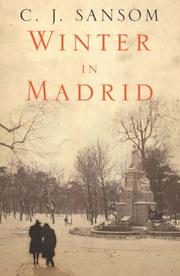


Search results from Open Library.
Recent natural events nearby
Ground air-quality sensors
Recently spotted species
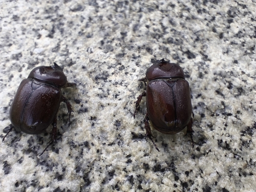
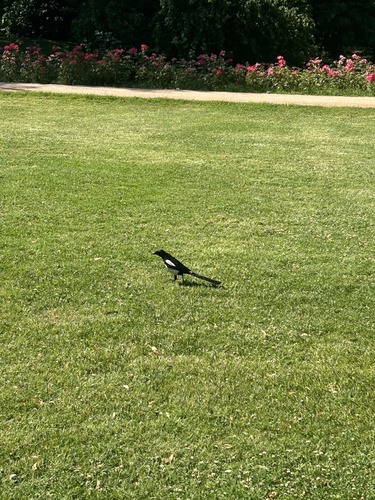
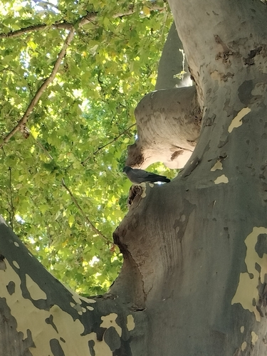
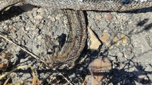
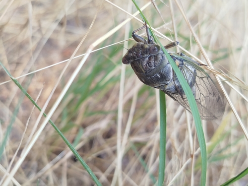
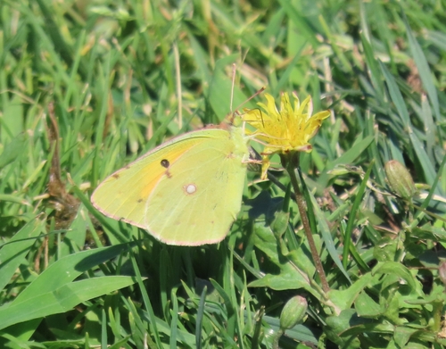
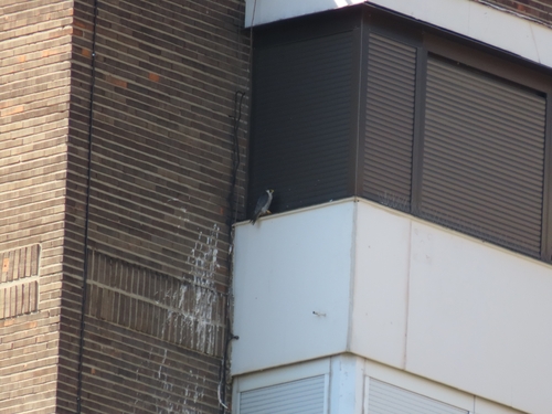
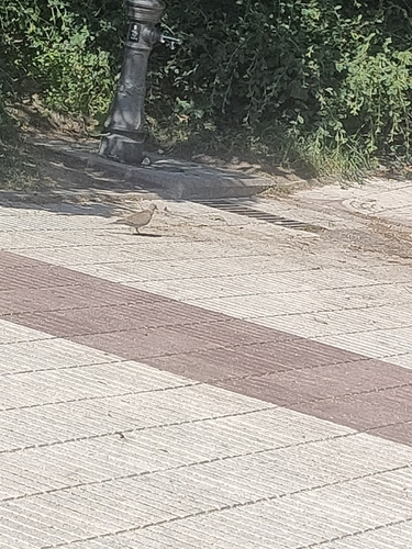
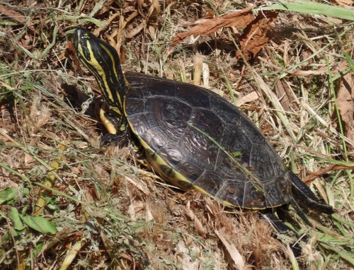
Research-grade observations from iNaturalist (within ~15 mi).
Events
Notable, recurring, and historical events associated with Madrid, sourced from Wikidata.
- Q115792815Nov 21, 2022award ceremony
- Jan 1, 2011
- Europride 2007Jan 1, 2007recurring event edition
- Q6343055Oct 20, 2006award ceremony
- Q6343017Feb 23, 1993award ceremony
- Q5906936Jul 24, 1992recurring event edition
- water polo at the 1986 World Aquatics Championships – women's tournamentJan 1, 1986sporting event
women's world championship
- Q64242986Jan 1, 1985award ceremony
- Q63413536Jan 1, 1984award ceremony
- 1974 Antena de OroApr 24, 1976award ceremony
- Q6342990Apr 10, 1970award ceremony
- Q5861817recurring event
- Q18411678planned event
- Q6342987Jul 4, 1969award ceremony
- Q6342985Mar 15, 1968award ceremony
- Q100708449Jan 1, 1968award ceremony
- Q100699931Jan 1, 1963award ceremony
- Q100605752Jan 1, 1960award ceremony
Source: Wikidata (CC0).
Gallery
Geotagged photos within ~6 miles of Madrid, from Wikimedia Commons contributors.
.jpg)
.jpg)
.jpg)
.jpg)
.jpg)


.jpg)
.jpg)
.jpg)
.jpg)
.jpg)
.jpg)
.jpg)
.jpg)


.jpg)
.jpg)
.jpg)
Photos via Wikimedia Commons — see each image page for license & attribution.
Official Identifiers
INE — Spanish National Statistics
- INE code
- 28079
- Population (Wikidata)
- 3,506,730
- Wikidata
- Q2807
Municipality codes via Wikidata P772
Sources
- • Wikipedia
- • Wikimedia Commons
- • Wikidata
- • Open-Meteo Air Quality (CAMS)
- • USGS Earthquake Catalog (global feed)
- • GBIF (Global Biodiversity Information Facility)
- • iNaturalist
- • Open-Meteo / sunrise-sunset.org
- • Wikipedia Pageviews API
- • Open Library
- • INE — Spanish national statistics, municipality code via Wikidata P772
- • INE — Spanish National Statistics — Municipality codes via Wikidata P772