Browse / Spain / Extremadura / Mengabril
Mengabril
Extremaduravillage
Total population
448
Demographic figures from INE (Spain). Overview below cites Wikipedia and may reference a different year.
City facts
Overview
Situated in Extremadura, Spain, Mengabril is a small village. Located at 38.936°, -5.934°, Mengabril occupies a warm-temperate portion of the northern hemisphere. Census-style estimates put the resident count near 448. Climatically, locations at this latitude tend to experience warm summers and cool winters. The location receives about 1,809 kWh/m² of solar irradiance per year and sunshine for roughly 71% of daylight hours. Open-data panels below dive into population trends, climate normals, environmental indicators and nearby places.
Summary composed automatically from structured open data on this page. See our Terms for details.
History & geography
Geography
Coordinates & boundaries from the US Census TIGER/Line shapefiles.
Climate
Air quality
Walkability
Amenities nearby
Wildlife & biodiversity
Most-observed species
- Common CraneGrus grus (Linnaeus, 1758) · Aves841
- White StorkCiconia ciconia (Linnaeus, 1758) · Aves677
- Eurasian Collared-DoveStreptopelia decaocto (Frivaldszky, 1838) · Aves627
- White WagtailMotacilla alba Linnaeus, 1758 · Aves544
- Spotless StarlingSturnus unicolor Temminck, 1820 · Aves543
- House SparrowPasser domesticus (Linnaeus, 1758) · Aves543
- Northern LapwingVanellus vanellus (Linnaeus, 1758) · Aves533
- Eurasian MagpiePica pica (Linnaeus, 1758) · Aves528
Citizen-science & research observations from the Global Biodiversity Information Facility (GBIF).
Earthquake history
Photos
Sights & places nearby
Notable people from here
Nearby places in Extremadura
- Medellín2.4 mi away · pop. 1,744
- Don Benito4.1 mi away · pop. 33,009
- Santa Amalia6.7 mi away · pop. 3,854
- La Haba7.2 mi away · pop. 1,164
- Valdetorres7.4 mi away · pop. 1,089
- Villanueva de la Serena7.6 mi away · pop. 21,788
- Manchita9.6 mi away · pop. 727
- El Badén10 mi away
- Guareña10.5 mi away · pop. 6,180
- Rena10.6 mi away · pop. 605
- Magacela11 mi away · pop. 487
- Cristina11.2 mi away · pop. 543
Geography & sun
Elevation, sunrise/sunset and daylight from Open-Meteo. Solar climatology from NASA POWER.
Nearby airports
Public attention
Books about this place
Recent natural events nearby
Ground air-quality sensors
Recently spotted species
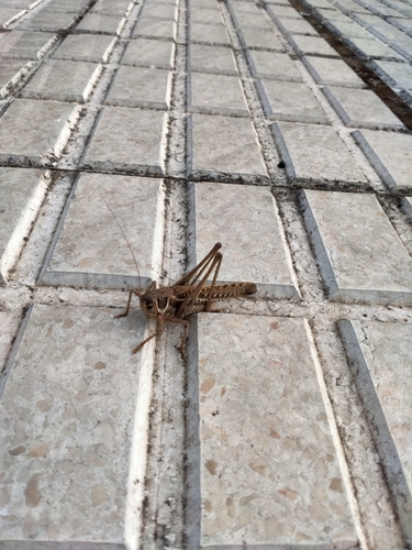
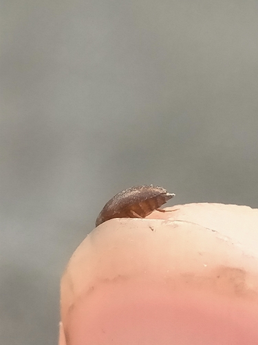
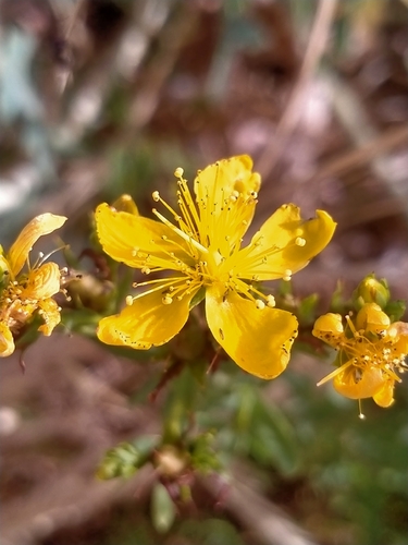
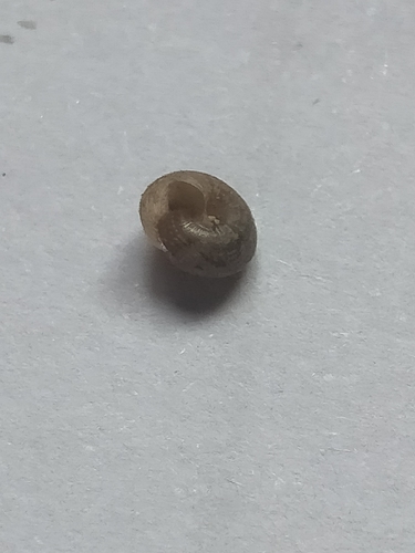
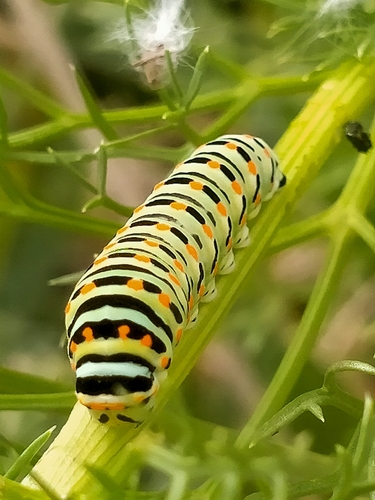
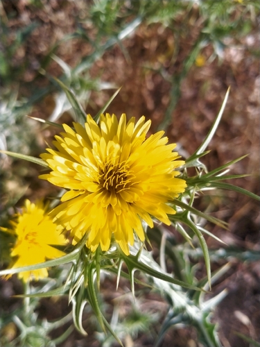
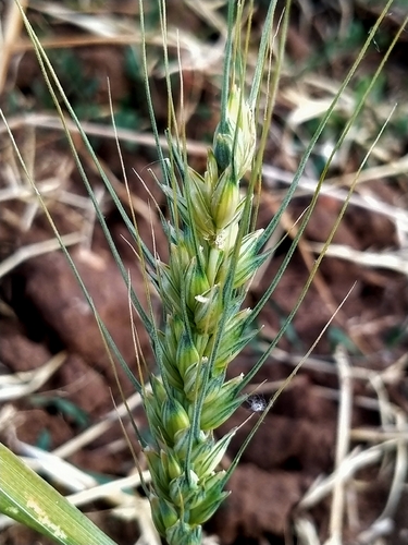
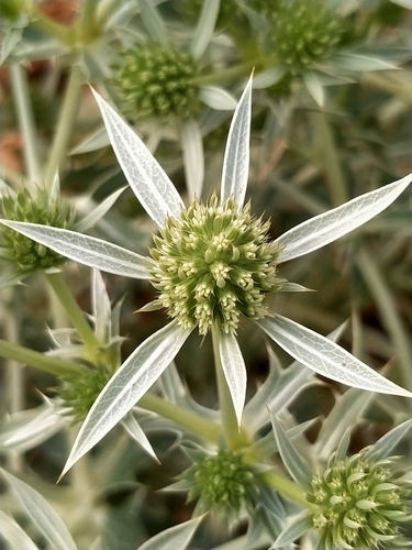

Research-grade observations from iNaturalist (within ~15 mi).
Events
Gallery
Geotagged photos within ~6 miles of Mengabril, from Wikimedia Commons contributors.
 1.9 mi
 2.1 mi
 2.1 mi
 2.1 mi
 2.1 mi
 2.1 mi
 2.4 mi
 2.4 mi
 2.4 mi
 2.4 mi
 2.4 mi
 2.4 mi
 2.4 mi
 2.4 mi
 2.4 mi
 2.4 mi
 2.4 mi
 2.4 mi
 2.4 mi
 2.4 mi
 2.4 mi
 2.4 mi
 2.4 mi
 2.4 mi
Photos via Wikimedia Commons — see each image page for license & attribution.
Sources
- • Wikimedia Commons
- • GBIF (Global Biodiversity Information Facility)
- • iNaturalist
- • Open-Meteo / sunrise-sunset.org