Browse / Spain / Valencian Community / Montaverner
Montaverner
Valencian Communityvillage

Montaverner
Total population
1,643
Demographic figures from INE (Spain). Overview below cites Wikipedia and may reference a different year.
City facts
Facts from Wikidata (CC0).
Overview
Montaverner is a municipality in the Comunitat Valenciana, Spain. It belongs to the province of Valencia, in the region of Vall d’Albaida.
Read more on WikipediaHistory & geography
History
Although there are archaeological remains in the municipality (a Roman column in the Pla de Colata, remains from the Bronze Age in the Plaça Major and Tossal del Calvari) and in its demarcation there were the farmsteads of Colata and Collatella, the origin is found in the visit made by King Jaume I in 1270. It was he who decided to found a town at the confluence of the Albaida and Clariano rivers in order to secure the road that linked Valencia with Alicante. Thus, on August 26, 1271, the Carta Puebla was granted, establishing the first settlers from Barcelona, who had to leave the land due to the Al-Azraq revolt in 1276. After belonging to the Lord of Albaida for the years 1281-1296 It became "the king's town", dependent on the term of Xàtiva and exempt from feudal rule. The expulsion of the Moors in 1609 produced a strong demographic crisis, going from housing 60 houses to 30, since its inhabitants, all of them old Christians, had to go to the surrounding towns in order to repopulate them. It's in this century when the town suffered the plague of the garrotillo (1677–1678) and experienced the Miracle de Sant Blai (Second day of Easter 1678, April 11). During the 18th century the current Church was built, where at that time the following streets were located: Major, Montons, de los Penadesos, de dalt, quatre cantons, Alacant, and Plaça; while in 1789 the existence of Mayor, Montons, Panaderos, Sant Vicent, Alacant and Molí streets was recorded. The N-340 highway built between 1860 and 1862, the bridges (“Llarg” and “Curt”), completed in 1890 and the passage of the railway (1893) led to a demographic increase, exceeding 1000 inhabitants at the beginning of the 20th century. During this century there was the phylloxera crisis (1910), the creation of the El Trobador…
Excerpted from the corresponding Wikipedia article (CC BY-SA).
Geography
Coordinates & boundaries from the US Census TIGER/Line shapefiles.
Climate
Air quality
Walkability
Amenities nearby
Wildlife & biodiversity
Earthquake history
Photos
Sights & places nearby
Notable people from here


People born within ~10 km, from Wikidata (CC0). Click any name for their Wikipedia article.
Geography & sun
Elevation, sunrise/sunset and daylight from Open-Meteo. Solar climatology from NASA POWER.
Nearby airports
Public attention
Pageview totals from the Wikimedia Pageviews API.
Books about this place
Recent natural events nearby
Ground air-quality sensors
Recently spotted species

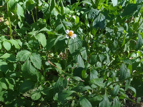
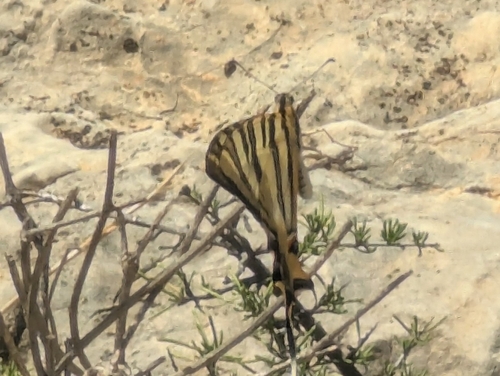
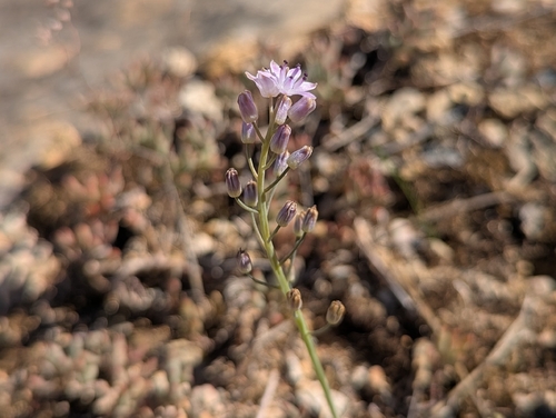
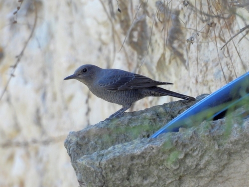
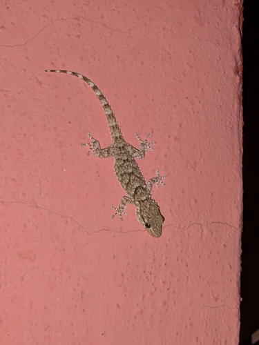
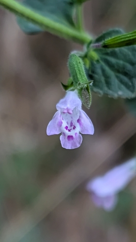
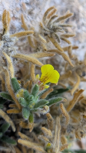

Research-grade observations from iNaturalist (within ~15 mi).
Events
Gallery
Official Identifiers
INE — Spanish National Statistics
- INE code
- 46173
- Population (Wikidata)
- 1,624
- Wikidata
- Q1993034
Municipality codes via Wikidata P772
Sources
- • Wikipedia
- • Wikidata
- • iNaturalist
- • Open-Meteo / sunrise-sunset.org
- • Wikipedia Pageviews API
- • INE — Spanish national statistics, municipality code via Wikidata P772
- • INE — Spanish National Statistics — Municipality codes via Wikidata P772