Browse / Spain / Extremadura / Navalmoral de la Mata
Navalmoral de la Mata
Extremaduratown

Navalmoral de la Mata
Total population
17,130
Air quality index
Demographic figures from INE (Spain). Overview below cites Wikipedia and may reference a different year.
City facts
Facts from Wikidata (CC0).
Overview
Navalmoral de la Mata is a municipality of Spain located in the province of Cáceres, autonomous community of Extremadura. Attached to the traditional comarca of Campo Arañuelo, the municipality lies on central-western Iberia, in between the Tagus and Tiétar rivers. In 2016, the municipality had a population of 17,247 inhabitants.
Read more on WikipediaHistory & geography
History
The area of Navalmoral includes remains from the Prehistoric and Roman (villas, bridges, temples etc.) ages. Navalmoral was founded in the late 14th - early 15th century as a communication hub. It became an autonomous commune in the 19th century. Navalmoral belongs to the natural comarca of Campo Arañuelo. Communications (roads and bridges) were promoted during the dictatorship of Primo de Rivera (the finishing of several works would linger a long time, though). Initially endorsed by local farmers, the latter removed their support to the regime after it failed to deliver on its promises, turning away from the dictator and ultimately also from the Monarchy, with the population overwhelmingly voting anti-monarchist candidates in the 1931 municipal elections that installed the Second Republic. La Vera and Guadalupe roads were constructed, as well as other less important roads. In 1930 the Tobacco Fermentation Center (CNCFT) was promoted by locals, boosting the economy of Navalmoral and its comarca. Local anarchists took part of the country-wide . On 21 July 1936, soon after the beginning of the Spanish Civil War, Navalmoral was seized by the Rebel forces after a swift combat. Started in 1949, the Rosarito's Irrigation Plan had a remarkable impact on Navalmoral's economy and demography, notably it allowed the expansion of cotton and tobacco based local industries. Another public work of the 20th century was the construction of the Valdecañas Reservoir, which enabled exploitation of the Tagus river, providing significant new funds for both Navalmoral town and its comarca, and thus helping to slow down the 1960s decline in population. Consequently, new districts and schools were built, available running water improved and thanks to the Tiétar river, sewers and other…
Excerpted from the corresponding Wikipedia article (CC BY-SA).
Geography
Coordinates & boundaries from the US Census TIGER/Line shapefiles.
Climate
Air quality
Current readings from Open-Meteo Air Quality API (Copernicus CAMS European reanalysis).
Walkability
Amenities nearby
Wildlife & biodiversity
Most-observed species
- Eurasian MagpiePica pica (Linnaeus, 1758) · Aves3,946
- White StorkCiconia ciconia (Linnaeus, 1758) · Aves3,879
- Spotless StarlingSturnus unicolor Temminck, 1820 · Aves3,851
- Cetti's WarblerCettia cetti (Temminck, 1820) · Aves3,657
- Zitting CisticolaCisticola juncidis (Rafinesque, 1810) · Aves3,469
- House SparrowPasser domesticus (Linnaeus, 1758) · Aves3,463
- Great Cormorant/European ShagPhalacrocorax carbo (Linnaeus, 1758) · Aves3,406
- Barn SwallowHirundo rustica Linnaeus, 1758 · Aves3,302
Citizen-science & research observations from the Global Biodiversity Information Facility (GBIF).
Earthquake history
Most recent
- M 2.5 — 2003-01-275 km ESE of Calzadilla, Spain
- M 2.5 — 2002-10-034 km SSW of Talaván, Spain
Events from the USGS Earthquake Catalog (global) (FDSN Event Web Service).
Photos
Sights & places nearby
Notable people from here


People born within ~10 km, from Wikidata (CC0). Click any name for their Wikipedia article.
Geography & sun
Nearby airports
Public attention
Books about this place
Recent natural events nearby
Ground air-quality sensors
Recently spotted species
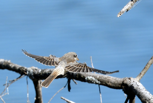
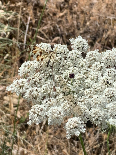
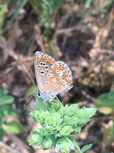
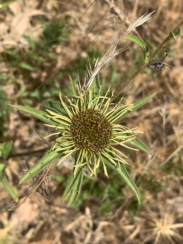
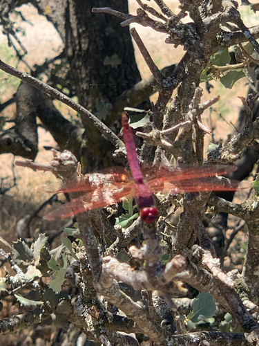
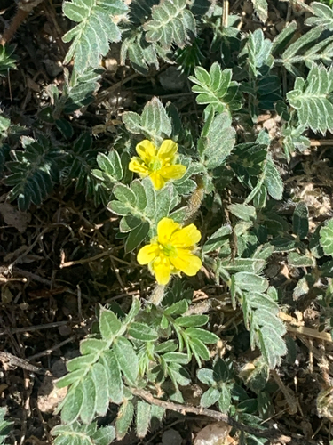
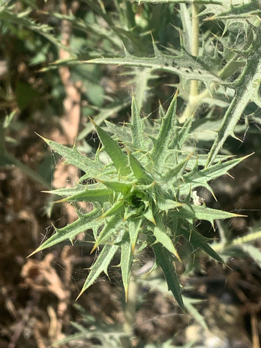
Research-grade observations from iNaturalist (within ~15 mi).
Events
Gallery
Sources
- • Wikipedia
- • Wikidata
- • Open-Meteo Air Quality (CAMS)
- • USGS Earthquake Catalog (global feed)
- • GBIF (Global Biodiversity Information Facility)
- • iNaturalist