Browse / Spain / Madrid / Nuevo Baztán
Nuevo Baztán
Madridvillage

Nuevo Baztán
Total population
290
Founded
1709
Air quality index
Demographic figures from INE (Spain). Overview below cites Wikipedia and may reference a different year.
City facts
Facts from Wikidata (CC0).
Overview
Nuevo Baztán is a municipality southeast of Madrid, near Alcalá de Henares, Spain. It consists of a small historic centre and modern housing estates.
Read more on WikipediaHistory & geography
History
Nuevo Baztán was founded around 1709 in a mercantalist initiative to promote industrial development in Spain. The site chosen belonged to a locality called Olmeda. The name of the new development refers to the Goyeneche family's home town, Baztan in Navarre. Much of the construction was performed by Agotes imported from Navarre. The town housed factories producing among other things munitions and glassware. The Goyeneche family financed not only the palaces, churches, and factories, but also houses for the employees, many of whom were transplants from other regions of Spain. Glass production at Nuevo Baztán only lasted a few years because of difficulty in obtaining the necessary fuel supplies locally. Some employees relocated to La Granja de San Ildefonso near Segovia, where there was abundant timber and a demand for glass at a royal palace which was under construction in the 1720s. The other industries of Nuevo Baztán ceased production by the end of the 18th century. Newer housing has arisen around the 18th-century nucleus in the past decades, and the present town contains large modern developments, including Eurovillas, Las Villas de Nuevo Baztán, Monteacevedo, and El Mirador del Baztán.
Excerpted from the corresponding Wikipedia article (CC BY-SA).
Geography
Coordinates & boundaries from the US Census TIGER/Line shapefiles.
Climate
Air quality
Current readings from Open-Meteo Air Quality API (Copernicus CAMS European reanalysis).
Walkability
Amenities nearby
Wildlife & biodiversity
Most-observed species
- Common Wood-PigeonColumba palumbus Linnaeus, 1758 · Aves2,940
- Eurasian BlackbirdTurdus merula Linnaeus, 1758 · Aves2,636
- Eurasian MagpiePica pica (Linnaeus, 1758) · Aves2,276
- House SparrowPasser domesticus (Linnaeus, 1758) · Aves2,206
- Spotless StarlingSturnus unicolor Temminck, 1820 · Aves2,118
- European GoldfinchCarduelis carduelis (Linnaeus, 1758) · Aves1,627
- Common ChaffinchFringilla coelebs Linnaeus, 1758 · Aves1,576
- European SerinSerinus serinus (Linnaeus, 1766) · Aves1,571
Citizen-science & research observations from the Global Biodiversity Information Facility (GBIF).
Earthquake history
Most recent
- M 3.4 — 2013-11-052 km SSE of Alcorcón, Spain
- M 3.5 — 2008-12-162 km S of Monreal del Llano, Spain
- M 2.6 — 2008-06-217 km SW of Guadalix de la Sierra, Spain
- M 3.5 — 2008-05-065 km E of Tembleque, Spain
- M 2.9 — 2008-04-28Spain
- M 4.1 — 2008-04-284 km ENE of Tembleque, Spain
Events from the USGS Earthquake Catalog (global) (FDSN Event Web Service).
Photos
Sights & places nearby
Notable people from here
Geography & sun
Nearby airports
Public attention
Books about this place
Recent natural events nearby
Ground air-quality sensors
Recently spotted species
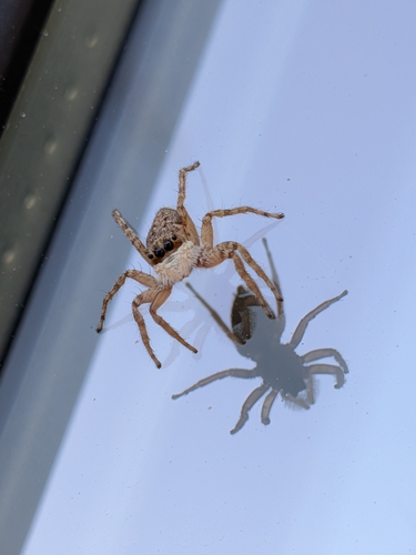
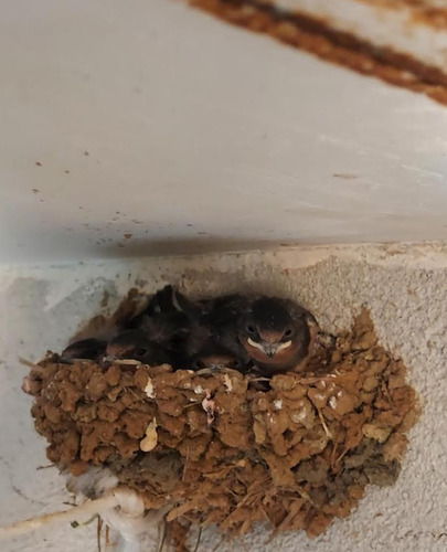
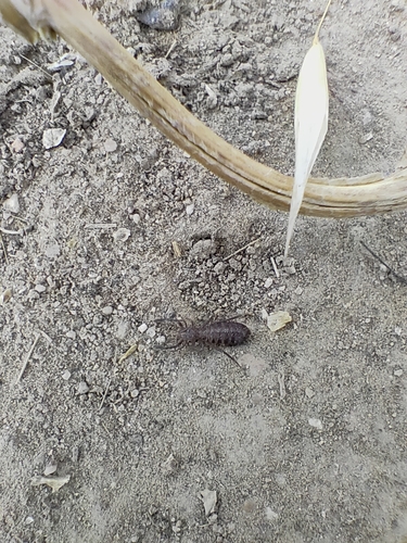
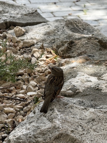
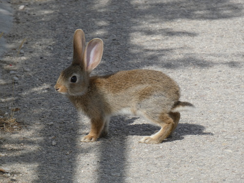
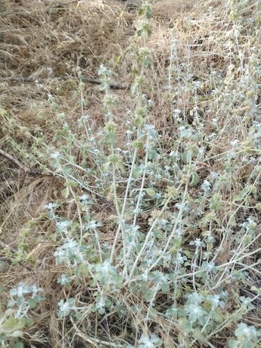
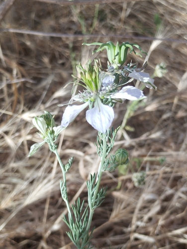
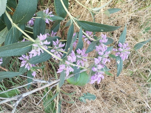
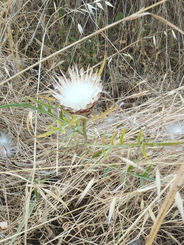
Research-grade observations from iNaturalist (within ~15 mi).
Events
Gallery
Sources
- • Wikipedia
- • Wikidata
- • Open-Meteo Air Quality (CAMS)
- • USGS Earthquake Catalog (global feed)
- • GBIF (Global Biodiversity Information Facility)
- • iNaturalist