Browse / Spain / Murcia / Ojós
Ojós
Murciavillage

Ojós
Total population
364
Demographic figures from INE (Spain). Overview below cites Wikipedia and may reference a different year.
City facts
Facts from Wikidata (CC0).
Overview
Ojós is a municipality in the autonomous community of Murcia in southeastern Spain. It is located in the northern half of the region, has an area of 45.3 km 2 and shares borders with Blanca at its north, Ulea at its north-east, Villanueva del Río Segura at its East, Campos del Río at is south-west and Ricote at its north-west. The municipality was inhabited by 500 people in 2019.
Read more on WikipediaHistory & geography
History
The municipality was inhabited in the Late Roman era, as an archaeological site proves. It was a fortified small town on a hillside. A specially noteworthy period of Ojós is during the Muslim Iberian Peninsula era, after the conquest in the year 711. The toponym of the city may have been originated in that era, and the Castle of Alarbona or Peñascales was built then. The Kingdom of Murcia, where the town belonged, was reconquered in the 13th century by Christian armies and the Treaty of Alcaraz took place in 1243. The treaty involved a supremacy of Castillian monarch over the kingdom and the main fortresses were under the power of the Christians, but Castille had to protect and respect the Muslims who lived in the conquered lands. In 1264 there was a Mudejar revoult in the Kingdom of Murcia because of a lack of observance of the terms of the treaty. During the early period of the Christian era, there was a phenomenon named encomienda, that is literally translated as entrusting, of the Order of Santiago in the territory. Encomienda consists that the conquerors are rewardaded by the labour of conquered people, but in theory, they would provide with protection and education. During the 15th century the territory was 'encommended' by various people, and some of them belonged to the highest nobility of the kingdom. Conversions to Christianity from mudejars were frequent in that era.
Excerpted from the corresponding Wikipedia article (CC BY-SA).
Geography
Coordinates & boundaries from the US Census TIGER/Line shapefiles.
Climate
Air quality
Walkability
Amenities nearby
Wildlife & biodiversity
Earthquake history
Photos
Sights & places nearby
Notable people from here
Nearby places in Murcia
- Ulea0.9 mi away · pop. 879
- Villanueva del Río Segura1.3 mi away · pop. 854
- Ricote1.4 mi away · pop. 1,067
- Blanca2.7 mi away · pop. 3,742
- Archena3 mi away · pop. 15,076
- Abarán5 mi away · pop. 9,772
- Ceutí6.1 mi away · pop. 12,155
- Lorquí6.7 mi away · pop. 7,007
- Campos del Río7.5 mi away · pop. 1,921
- Cieza7.6 mi away · pop. 32,980
- Alguazas8.6 mi away · pop. 9,255
- Albudeite8.7 mi away · pop. 501
Geography & sun
Elevation, sunrise/sunset and daylight from Open-Meteo. Solar climatology from NASA POWER.
Nearby airports
Public attention
Pageview totals from the Wikimedia Pageviews API.
Books about Ojós



Search results from Open Library.
Recent natural events nearby
Ground air-quality sensors
Recently spotted species
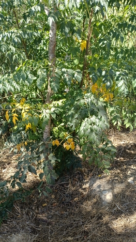
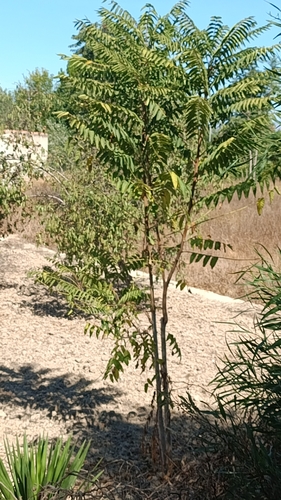
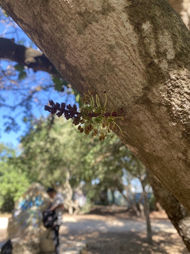
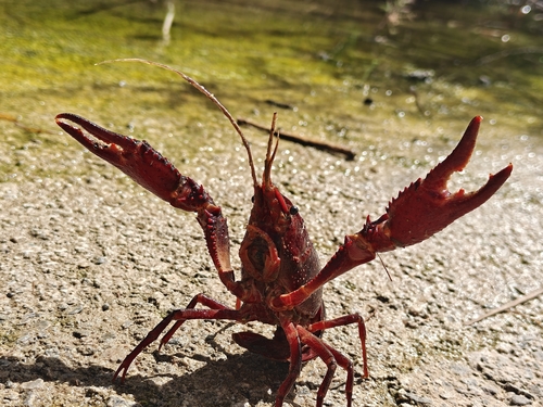
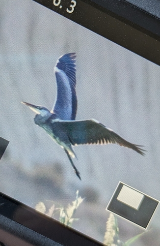
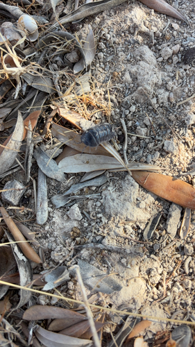
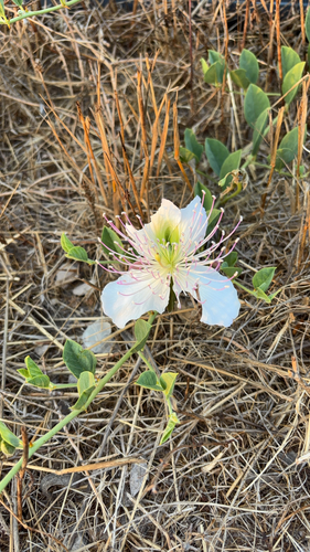
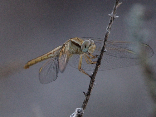
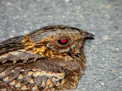
Research-grade observations from iNaturalist (within ~15 mi).
Events
Gallery
Sources
- • Wikipedia
- • Wikidata
- • iNaturalist
- • Open-Meteo / sunrise-sunset.org
- • Wikipedia Pageviews API
- • Open Library