Browse / Spain / Valencian Community / Ontinyent
Ontinyent
Valencian Communitytown

Ontinyent
Total population
30,435
Demographic figures from INE (Spain). Overview below cites Wikipedia and may reference a different year.
City facts
Sister cities
Facts from Wikidata (CC0).
Overview
Ontinyent, also known as Onteniente, is a town and municipality in the comarca of Vall d'Albaida, Valencian Community, Spain. It is situated on the banks of the Clarià River, a tributary of the Xúquer, and on the Xàtiva–Alcoi railway. Ontinyent is near the Serra de Mariola Natural Park.
Read more on WikipediaHistory & geography
History
Evidence of human settlement in the area was traced back the end of the Neolithic period, as shown by evidences from excavations at the Castellar site between the Barranco dels Tarongers and the Barranco del Averno in Bocairent. Sites occupied during the Roman era are short-lived. Small agricultural settlements were located on the outskirts of what would later become the medieval urban core. It seems likely one of these Roman settlements gave rise to the name of the town; the pagus Untinianus. From this name, would arise different versions of the including the Ontinient, Hontinient and Ontinyent. The town of Ontinyent is also documented as having Muslim origins dating back to the 11th century. The poet al-Untinyaní was born there and it is known that the castle of Ontinyent (hisn Untinyân) was a stopover on the way from Murcia to Valencia. Although few structural remains have survived in the city, the windows of Pou Clar or the famous Covetes dels Moros (found in ravines between Ontinyent and Bocairent) show the importance of Islamic civilisation in the area. The caves were probably communal granaries that belonged to the peasant communities of the Andalusian period and had their origin in the tradition of the Berber people who settled in the area. Ontinyent was conquered by the troops of Jaime I in the year 1244 and incorporated into the Kingdom of Valencia. In the 18th century, the administration was castellanized throughout the Kingdom of Valencia and with it the name of the town changed its root "Onti-" to "Onte-". The Castilian form Onteniente became the official form until the end of the 20th century when the original Latin root of the name was reinstated. In the provincial division of 1822 it was assigned to the province of Xátiva and in the division of…
Excerpted from the corresponding Wikipedia article (CC BY-SA).
Geography
Coordinates & boundaries from the US Census TIGER/Line shapefiles.
Climate
Air quality
Walkability
Amenities nearby
Wildlife & biodiversity
Most-observed species
- Great TitParus major Linnaeus, 1758 · Aves2,871
- Eurasian BlackbirdTurdus merula Linnaeus, 1758 · Aves2,640
- Sardinian WarblerCurruca melanocephala (J.F.Gmelin, 1789) · Aves2,376
- European SerinSerinus serinus (Linnaeus, 1766) · Aves2,333
- European GoldfinchCarduelis carduelis (Linnaeus, 1758) · Aves2,308
- European RobinErithacus rubecula (Linnaeus, 1758) · Aves2,219
- Common ChaffinchFringilla coelebs Linnaeus, 1758 · Aves2,048
- Eurasian BlackcapSylvia atricapilla (Linnaeus, 1758) · Aves1,826
Citizen-science & research observations from the Global Biodiversity Information Facility (GBIF).
Earthquake history
Most recent
- M 2.9 — 2024-09-041 km SSE of Alfafara, Spain
- M 3.3 — 2020-11-037 km E of Ibi, Spain
- M 2.6 — 2020-11-015 km NNE of Torrevieja, Spain
- M 2.9 — 2020-06-273 km S of Jacarilla, Spain
- M 3 — 2019-07-130 km E of Bigastro, Spain
- M 3.3 — 2019-03-2410 km E of Guardamar del Segura, Spain
Events from the USGS Earthquake Catalog (global) (FDSN Event Web Service).
Photos
Sights & places nearby
Notable people from here


People born within ~10 km, from Wikidata (CC0). Click any name for their Wikipedia article.
Nearby places in Valencian Community
- Agullent3.4 mi away · pop. 2,222
- Bocairent3.7 mi away · pop. 3,848
- Aielo de Malferit4.2 mi away · pop. 4,440
- Alfafara4.4 mi away · pop. 378
- Benissoda4.4 mi away · pop. 429
- Albaida5.1 mi away · pop. 5,991
- Agres5.8 mi away · pop. 471
- Bufali6 mi away · pop. 159
- Atzeneta d'Albaida6.1 mi away · pop. 1,160
- el Palomar6.2 mi away · pop. 557
- Vallada6.7 mi away · pop. 3,038
- l'Olleria7.1 mi away · pop. 8,079
Geography & sun
Elevation, sunrise/sunset and daylight from Open-Meteo. Solar climatology from NASA POWER.
Nearby airports
Public attention
Pageview totals from the Wikimedia Pageviews API.
Books about this place
Recent natural events nearby
Ground air-quality sensors
Recently spotted species
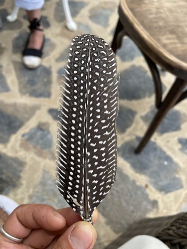
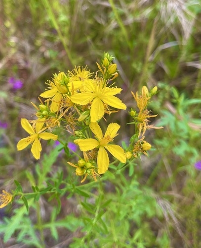
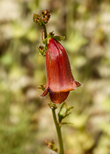
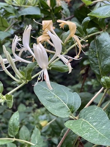
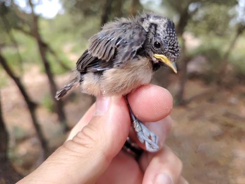
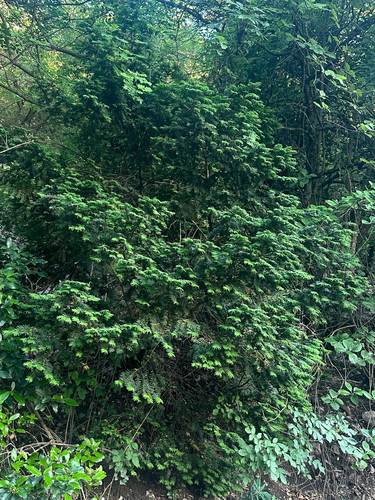
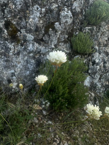
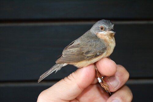
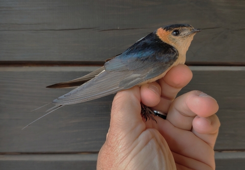
Research-grade observations from iNaturalist (within ~15 mi).
Events
Notable, recurring, and historical events associated with Ontinyent, sourced from Wikidata.
- Q28845818festival
Source: Wikidata (CC0).
Gallery
Geotagged photos within ~6 miles of Ontinyent, from Wikimedia Commons contributors.
.jpg) 0 mi
0 mi 0 mi
0 mi.jpg) 0 mi
0 mi_(7905196680).jpg) 0.1 mi
0.1 mi 0.1 mi
 0.1 mi
 0.1 mi
 0.2 mi
 0.2 mi
 0.2 mi
 0.2 mi
 0.2 mi
.jpeg) 0.2 mi
0.2 mi.jpeg) 0.2 mi
0.2 mi.jpeg) 0.2 mi
0.2 mi.jpeg) 0.2 mi
0.2 mi 0.3 mi
 0.3 mi
 0.3 mi
 0.4 mi
 0.5 mi
 0.5 mi
 0.5 mi
.jpg) 0.6 mi
0.6 miPhotos via Wikimedia Commons — see each image page for license & attribution.
Sources
- • Wikipedia
- • Wikimedia Commons
- • Wikidata
- • USGS Earthquake Catalog (global feed)
- • GBIF (Global Biodiversity Information Facility)
- • iNaturalist
- • Open-Meteo / sunrise-sunset.org
- • Wikipedia Pageviews API