Browse / Spain / Castile and León / Ponferrada
Ponferrada
Castile and Leóntown

Ponferrada
Total population
39,106
Demographic figures from INE (Spain). Overview below cites Wikipedia and may reference a different year.
City facts
Overview
Ponferrada is a city of Spain, located in the autonomous community of Castile and León. Ponferrada, the second most populated municipality of the Province of León, is also the capital city of El Bierzo, the only comarca recognized as an administrative entity by law in the region.
Read more on WikipediaHistory & geography
History
The place traces its origin back to 928 gifting to the of a villa between the Sil and the Boeza by Lupo and his wife, which possessed ferrum (iron) and was located at the feet of an abandoned castrum. The name of the city derives from the iron reinforcements added to the ancient bridge over the river Sil (Latin pons for "bridge" and ferrata for "iron"), commissioned in 1082 by Bishop Osmundo of Astorga to facilitate the crossing of the Sil to pilgrims in their way to Santiago de Compostela. From 1211 to 1312, Ponferrada was a holding of the Order of the Temple. The railroad arrived in Ponferrada in 1881, and during World War I local tungsten deposits were exploited to supply the arms industry. In 1918, the Ponferrada Mining, Iron and Steel Company (') was founded to exploit coal deposits in the region, and it grew to become Spain's largest coal mining corporation. The Spanish National Energy Corporation (Endesa) was founded in 1944, and in 1949, it opened Spain's first coal-fueled power plant in Ponferrada, Compostilla I. In 1960, the Bárcena Dam (') opened and by the second half of the 20th century the economy of the city was mainly based on mining and electricity generation, both hydroelectric and coal-fueled. Starting in the late 1980s, most mines were closed, and after the collapse of the mining industry Ponferrada was in a crisis for a while. However, in the late 1990s, the city underwent a major transformation with the establishment of several industrial and service firms, the reintroduction of commercial wine production, the opening of a local branch of the University of León offering several undergraduate degrees, and in general, an improvement of the town's infrastructure. The economy is now based mainly on tourism, agriculture (fruit and wine), wind…
Excerpted from the corresponding Wikipedia article (CC BY-SA).
Geography
Coordinates & boundaries from the US Census TIGER/Line shapefiles.
Climate
Air quality
Walkability
Amenities nearby
Wildlife & biodiversity
Most-observed species
- Eurasian BlackbirdTurdus merula Linnaeus, 1758 · Aves682
- European RobinErithacus rubecula (Linnaeus, 1758) · Aves596
- Common ChaffinchFringilla coelebs Linnaeus, 1758 · Aves567
- Carrion CrowCorvus corone Linnaeus, 1758 · Aves491
- Eurasian BlackcapSylvia atricapilla (Linnaeus, 1758) · Aves467
- Great TitParus major Linnaeus, 1758 · Aves440
- House SparrowPasser domesticus (Linnaeus, 1758) · Aves403
- European SerinSerinus serinus (Linnaeus, 1766) · Aves398
Citizen-science & research observations from the Global Biodiversity Information Facility (GBIF).
Earthquake history
Most recent
- M 4 — 2023-09-304 km NNW of Igüeña, Spain
- M 2.8 — 2008-08-0410 km WNW of Cobreros, Spain
- M 2.7 — 2008-05-1810 km W of Encinedo, Spain
- M 2.5 — 2007-12-296 km SW of Becerreá, Spain
- M 3.1 — 2007-12-096 km WSW of Becerreá, Spain
- M 2.9 — 2007-11-052 km N of Becerreá, Spain
Events from the USGS Earthquake Catalog (global) (FDSN Event Web Service).
Photos
Sights & places nearby
Notable people from here
Nearby places in Castile and León
- Molinaseca3.8 mi away · pop. 613
- Priaranza del Bierzo4.7 mi away · pop. 261
- Cacabelos7.7 mi away · pop. 3,930
- Toral de los Vados9.3 mi away · pop. 1,258
- Carucedo9.3 mi away · pop. 263
- Villafranca del Bierzo11.8 mi away · pop. 1,925
- Castrillo de Cabrera14.3 mi away · pop. 24
- Encinedo/Encinéu19 mi away · pop. 18
- Truchas / Trueitas21.3 mi away · pop. 70
- Astorga28.2 mi away · pop. 9,891
- San Justo28.4 mi away · pop. 59
- Trefacio29.4 mi away · pop. 101
Geography & sun
Elevation, sunrise/sunset and daylight from Open-Meteo. Solar climatology from NASA POWER.
Nearby airports
Public attention
Pageview totals from the Wikimedia Pageviews API.
Books about this place
Recent natural events nearby
Ground air-quality sensors
Recently spotted species
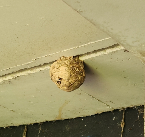
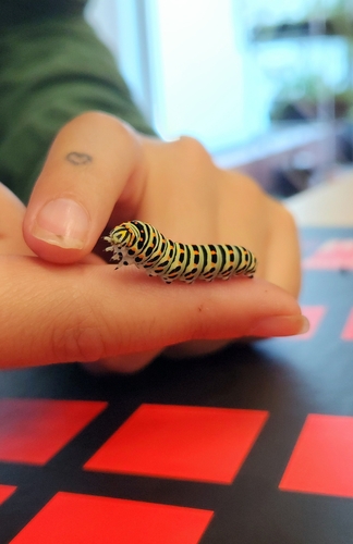
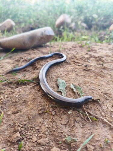
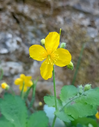
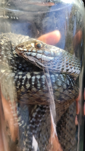
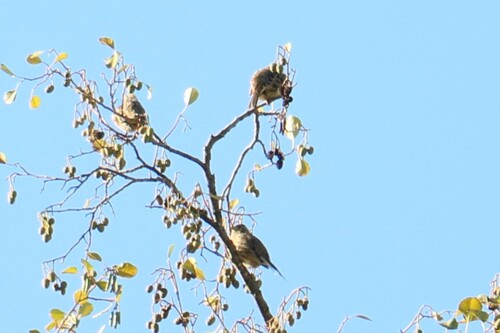
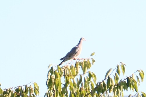
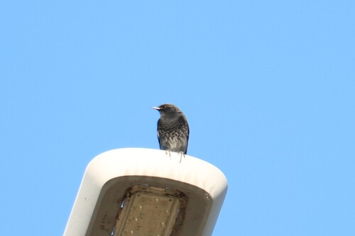
Research-grade observations from iNaturalist (within ~15 mi).
Events
Gallery
Sources
- • Wikipedia
- • USGS Earthquake Catalog (global feed)
- • GBIF (Global Biodiversity Information Facility)
- • iNaturalist
- • Open-Meteo / sunrise-sunset.org
- • Wikipedia Pageviews API