Browse / Spain / Andalusia / Ronda
Ronda
Andalusiatown

Ronda
Total population
29,027
Demographic figures from INE (Spain). Overview below cites Wikipedia and may reference a different year.
City facts
Facts from Wikidata (CC0).
Overview
Ronda is a municipality of Spain belonging to the province of Málaga, within the autonomous community of Andalusia.
Read more on WikipediaHistory & geography
History
Around the city are remains of prehistoric settlements dating to the Neolithic, including the rock art of Cueva de la Pileta. The places of Arunda and Acinipo mentioned by Pliny have been traditionally identified with current Ronda. In the fifth century AD, Ronda was conquered by the Suebi, led by Rechila, being reconquered in the following century by the Eastern Roman Empire, under whose rule Acinipo was abandoned. Later, the Visigothic king Liuvigild captured the city. Ronda was part of the Visigoth realm until 713, when it fell to the Umayyad troops, who named it Hisn al-Rundah ("Castle of Rundah") and made it the capital of the Takurunna province. It was the hometown of the polymath Abbas ibn Firnas (810–887), an inventor, engineer, alleged aviator, chemist, physician, Muslim poet, and Andalusian musician. After the disintegration of the caliphate of Córdoba, Ronda became the capital of a small kingdom ruled by the Berber Banu Ifran, the taifa of Ronda. During this period, Ronda gained most of its Islamic architectural heritage. In 1065, Ronda was conquered by the taifa of Seville led by Abbad II al-Mu'tadid. Both the poet Abu al-Baqa ar-Rundi (1204–1285) and the Sufi scholar Ibn Abbad al-Rundi (1333–1390) were born in Ronda. Hitherto part of the Nasrid Kingdom of Granada, Ronda was seized by the Crown of Castile in 1485. The city was granted a fuero copying Seville's. Upon the Christian conquest, a policy favouring the settlement of Christians in the cities while leaving Muslim majorities in the rural communities was pursued, configurating a 70%–30% balance between mudéjares and Christians settlers in the Serranía de Ronda. In the early 16th century, a series of edicts enacted that mudéjares from the Crown of Castile must either leave or convert. The…
Geography
Ronda lies in a mountainous area about above mean sea level. The inner relief is gentle and includes areas of pastureland and vegetable and cereal growing areas. The Guadalevín River runs through the city, dividing it in two and carving out the steep, 100-plus-meter-deep El Tajo canyon above which the city perches. The Spanish fir is endemic to the mountains surrounding Ronda.
Excerpted from the corresponding Wikipedia article (CC BY-SA).
Geography
Coordinates & boundaries from the US Census TIGER/Line shapefiles.
Climate
Air quality
Walkability
Amenities nearby
Wildlife & biodiversity
Most-observed species
- Eurasian GriffonGyps fulvus (Hablizl, 1783) · Aves5,089
- Common ChaffinchFringilla coelebs Linnaeus, 1758 · Aves4,937
- Eurasian BlackbirdTurdus merula Linnaeus, 1758 · Aves4,800
- European GoldfinchCarduelis carduelis (Linnaeus, 1758) · Aves4,008
- Great TitParus major Linnaeus, 1758 · Aves3,848
- Eurasian Blue TitCyanistes caeruleus (Linnaeus, 1758) · Aves3,515
- Sardinian WarblerCurruca melanocephala (J.F.Gmelin, 1789) · Aves3,178
- European RobinErithacus rubecula (Linnaeus, 1758) · Aves3,060
Citizen-science & research observations from the Global Biodiversity Information Facility (GBIF).
Earthquake history
Photos
Sights & places nearby
Notable people from here


People born within ~10 km, from Wikidata (CC0). Click any name for their Wikipedia article.
Geography & sun
Elevation, sunrise/sunset and daylight from Open-Meteo. Solar climatology from NASA POWER.
Nearby airports
Public attention
Pageview totals from the Wikimedia Pageviews API.
Books about Ronda

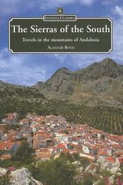

Search results from Open Library.
Recent natural events nearby
Ground air-quality sensors
Recently spotted species
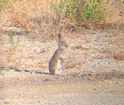
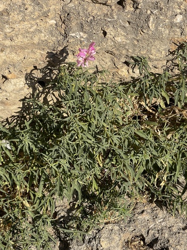
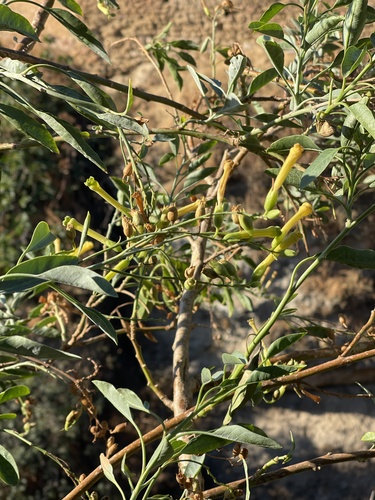
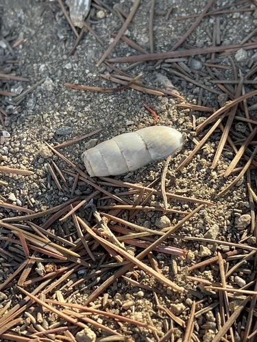
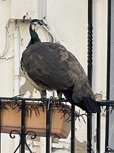
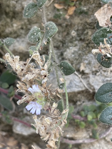
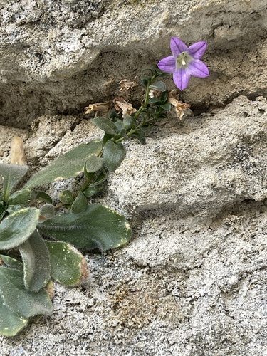
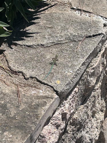
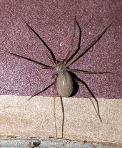
Research-grade observations from iNaturalist (within ~15 mi).
Events
Gallery
Sources
- • Wikipedia
- • Wikidata
- • GBIF (Global Biodiversity Information Facility)
- • iNaturalist
- • Open-Meteo / sunrise-sunset.org
- • Wikipedia Pageviews API
- • Open Library