Browse / Spain / Balearic Islands / Sa Pobla
Sa Pobla
Balearic Islandstown

Featured view
Sa Pobla
Total population
14,191
Coordinates39.77°, 3.02°
Demographic figures from INE (Spain). Overview below cites Wikipedia and may reference a different year.
Loading additional data from public sources…0 / 11
CensusWikipediaWeatherPlacesPeopleEnvironmentHealth & SchoolsRelatedGeography & CultureLive MonitoringEvents & Gallery
0% completeCity facts
Overview
Sa Pobla is a municipality in the district of Raiguer on Mallorca, one of the Balearic Islands. It is a terminus on the Mallorca rail network.
History & geography
Geography
Latitude
39.7697
Longitude
3.0247
Water area
—
Coordinates & boundaries from the US Census TIGER/Line shapefiles.
Climate
Air quality
Walkability
Amenities nearby
Wildlife & biodiversity
Earthquake history
Photos
Sights & places nearby
Notable people from here

Iván Ramis
Spanish footballer

Lorenzo Serra Ferrer
Spanish football manager

Simón Andreu
Spanish actor
S
Sebastià Ramis Torrens
Spanish priest
B
Bernat Capó
Spanish cyclist (1919-2000)
M
Martí Crespí
Spanish footballer

Bartolomé Beltrán
Spanish physician (1950–2024)
A
Antoni Serra Serra
religious writer
A
Arnau Albertí
Spanish theologian and inquisitor (1480-1544)
F
Francesc Alemany i Rosselló
Spanish physician
J
Jaime Tomás Florit
Spanish cyclist
J
Jaume Segura
Spanish diplomat
M
Miquel Ramis
Spanish politician and businessperson
J
Jaume Font
Spanish politician
C
Catalina del Carme Caldés Socias
Spanish religious (1899-1936)

Damià Pons Pons
Mallorcan writer and politician
People born within ~10 km, from Wikidata (CC0). Click any name for their Wikipedia article.
Geography & sun
Avg solar (kWh/m²/day)
4.51
Annual solar (kWh/m²)
1,647
Elevation, sunrise/sunset and daylight from Open-Meteo. Solar climatology from NASA POWER.
Nearby airports
Public attention
Wikipedia views (last 30 days)
529
Avg daily Wikipedia views
18
Attention level
Obscure
Pageview totals from the Wikimedia Pageviews API.
Books about this place
Recent natural events nearby
Ground air-quality sensors
Recently spotted species
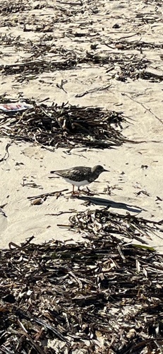
Ruddy Turnstone
Arenaria interpres
Seen 2026-09-24
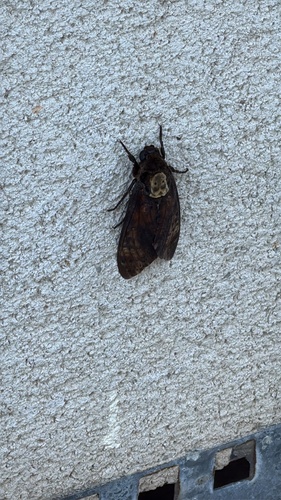
Death's Head Hawkmoth
Acherontia atropos
Seen 2026-09-23
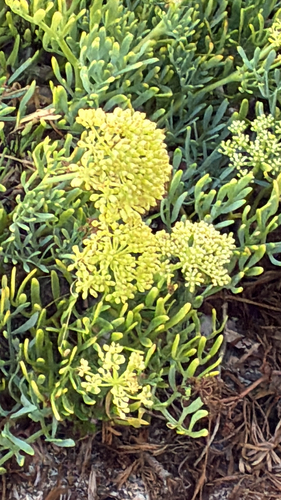
rock samphire
Crithmum maritimum
Seen 2026-09-22
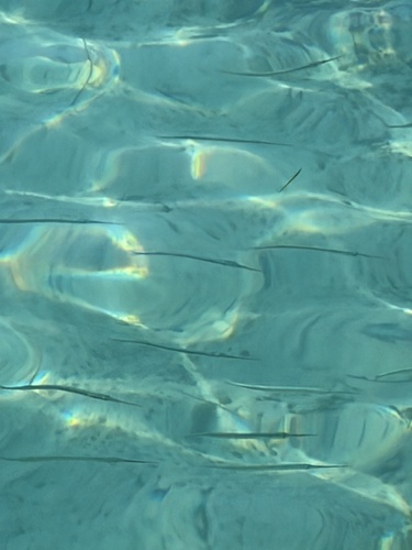
Garfish
Belone belone
Seen 2026-09-22
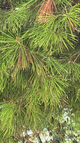
Aleppo pine
Pinus halepensis
Seen 2026-09-21
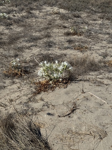
Sea Daffodil
Pancratium maritimum
Seen 2026-09-20
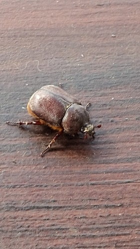
Phyllognathus excavatus
Phyllognathus excavatus
Seen 2026-09-20
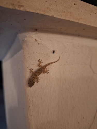
Moorish Gecko
Tarentola mauritanica
Seen 2026-09-18
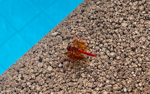
Orange-winged Dropwing
Trithemis kirbyi
Seen 2026-09-18
Research-grade observations from iNaturalist (within ~15 mi).
Events
Gallery
Sources
- • Wikipedia
- • Wikidata
- • iNaturalist
- • Open-Meteo / sunrise-sunset.org
- • Wikipedia Pageviews API