Browse / Spain / Andalusia / Salobreña
Salobreña
Andalusiatown

Salobreña
Total population
9,132
Demographic figures from INE (Spain). Overview below cites Wikipedia and may reference a different year.
City facts
Facts from Wikidata (CC0).
Overview
Salobreña is a town on the Costa Granadina in Granada, Spain. It claims a history stretching back 6,000 years.
Read more on WikipediaHistory & geography
History
At the close of the Last Glacial Maximum, the Motril-Salobreña plain on which Salobreña now stands was not yet land: rather it was a large bay studded with a number of dolomite crags which were islands, most prominently the formation now known as Monte Hacho (73m) and the headland on which Salobreña now stands (110m). The Guadalfeo river drained into the bay, running down the Tajo de los Vados gorge which separates the Sierra de Escalate to the north-east of Salobreña from the Sierra de Chaparral to the west. The river gradually filled the bay with silt comprising post-orogenic, miocenic, and quaternary material, producing a fertile alluvial plain, on which agriculture could begin by the Bronze Age. At this time, the outcrop on which the old town of Salobreña now stands had become a peninsula. Meanwhile, the rocky outcrop of the Peñon, which now juts from La Guardia beach into the sea, remained an island into the seventeenth century. A map of 1722 is the first evidence that the beach had reached it, making it a peninsula. Archaeological finds show human habitation around Salobreña at the rocky promontory known as the Peñon beginning in the Neolithic period, when the Peñon was still an island, with strata perhaps beginning as early as the palaeolithic period and continuing into the Bronze Age at the Cueva del Capitán (Captain's Cave) in the nearby hamlet of Lobres. Evidence of Bronze Age settlement from around 1500 BCE has also been found on the Salobreña headland and, slightly further inland again, Monte Hacho. Such settlements would have been characteristic of the settlement of easily defensible rocky headlands in the region at the time. Salobreña is thought to have experienced contact with the Phoenicians around the eighth century BCE and then Greek and Punic…
Excerpted from the corresponding Wikipedia article (CC BY-SA).
Geography
Coordinates & boundaries from the US Census TIGER/Line shapefiles.
Climate
Air quality
Walkability
Amenities nearby
Wildlife & biodiversity
Most-observed species
- House SparrowPasser domesticus (Linnaeus, 1758) · Aves2,749
- Eurasian BlackbirdTurdus merula Linnaeus, 1758 · Aves2,597
- Yellow-legged GullLarus michahellis J.F.Naumann, 1840 · Aves2,540
- Eurasian Collared-DoveStreptopelia decaocto (Frivaldszky, 1838) · Aves2,279
- European SerinSerinus serinus (Linnaeus, 1766) · Aves2,238
- MallardAnas platyrhynchos Linnaeus, 1758 · Aves2,054
- European GoldfinchCarduelis carduelis (Linnaeus, 1758) · Aves2,032
- Sardinian WarblerCurruca melanocephala (J.F.Gmelin, 1789) · Aves1,914
Citizen-science & research observations from the Global Biodiversity Information Facility (GBIF).
Earthquake history
Photos
Sights & places nearby
Notable people from here


People born within ~10 km, from Wikidata (CC0). Click any name for their Wikipedia article.
Nearby places in Andalusia
- Molvízar3 mi away · pop. 2,334
- Guájar Faragüit6.6 mi away · pop. 504
- Otívar7 mi away · pop. 1,023
- Vélez de Benaudalla7.1 mi away · pop. 2,789
- Lentegí7.8 mi away · pop. 347
- La Herradura8.4 mi away · pop. 4,896
- Lújar10.5 mi away · pop. 172
- El Romeral12.2 mi away · pop. 1,503
- Restábal12.6 mi away · pop. 357
- Castell de Ferro12.7 mi away · pop. 2,967
- Albuñuelas12.7 mi away · pop. 672
- Lanjarón13.3 mi away · pop. 3,261
Geography & sun
Elevation, sunrise/sunset and daylight from Open-Meteo. Solar climatology from NASA POWER.
Nearby airports
Public attention
Pageview totals from the Wikimedia Pageviews API.
Books about Salobreña
Search results from Open Library.
Recent natural events nearby
Ground air-quality sensors
Recently spotted species
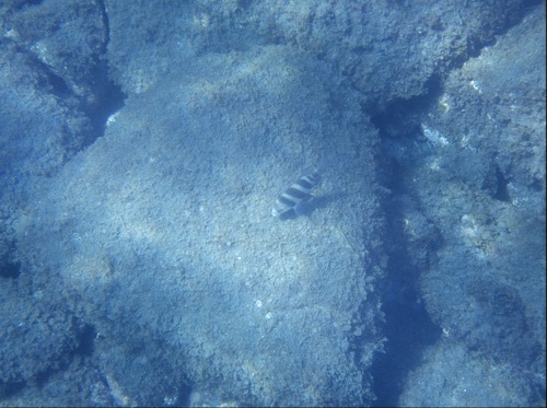
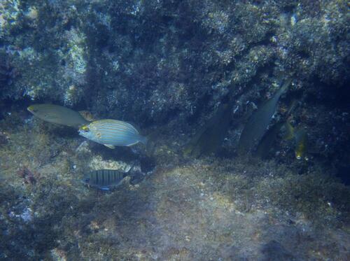
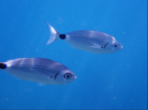
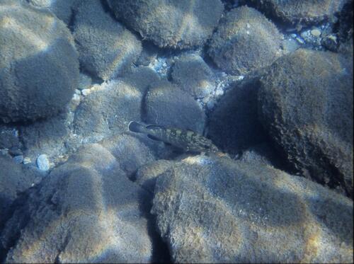
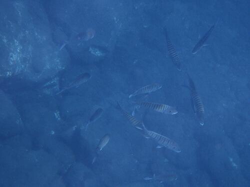
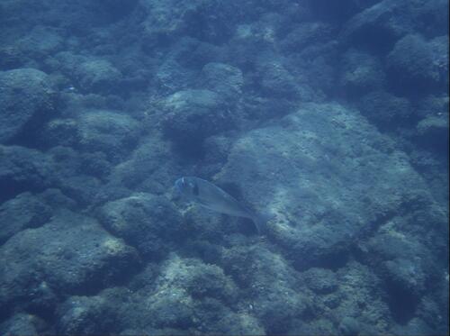
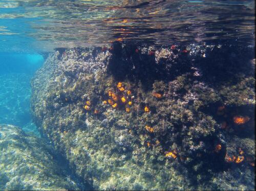
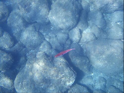
Research-grade observations from iNaturalist (within ~15 mi).
Events
Gallery
Geotagged photos within ~6 miles of Salobreña, from Wikimedia Commons contributors.
 0 mi
0 mi 0 mi
0 mi 0.2 mi
 0.2 mi
 0.2 mi
.jpg) 0.2 mi
0.2 mi.jpg) 0.2 mi
0.2 mi.jpg) 0.2 mi
0.2 mi.jpg) 0.2 mi
0.2 mi.jpg) 0.2 mi
0.2 mi 0.2 mi
 0.2 mi
 0.2 mi
 0.2 mi
 0.2 mi
 0.2 mi
 0.2 mi
 0.2 mi
 0.2 mi
 0.2 mi
 0.2 mi
 0.2 mi
 0.2 mi
 0.2 mi
Photos via Wikimedia Commons — see each image page for license & attribution.
Official Identifiers
INE — Spanish National Statistics
- INE code
- 18173
- Population (Wikidata)
- 12,760
- Wikidata
- Q427330
Municipality codes via Wikidata P772
Sources
- • Wikipedia
- • Wikimedia Commons
- • Wikidata
- • GBIF (Global Biodiversity Information Facility)
- • iNaturalist
- • Open-Meteo / sunrise-sunset.org
- • Wikipedia Pageviews API
- • Open Library
- • INE — Spanish national statistics, municipality code via Wikidata P772
- • INE — Spanish National Statistics — Municipality codes via Wikidata P772