Browse / Spain / Canary Islands / San Cristóbal de La Laguna
San Cristóbal de La Laguna
Canary Islandstown

San Cristóbal de La Laguna
Total population
31,660
Founded
1496
Demographic figures from INE (Spain). Overview below cites Wikipedia and may reference a different year.
City facts
Sister cities
Facts from Wikidata (CC0).
Overview
San Cristóbal de La Laguna is a city and municipality in the northern part of the island of Tenerife in the Province of Santa Cruz de Tenerife, on the Canary Islands, Spain. The former capital of the Canary Islands, the city is the third-most populous city of the archipelago and the second-most populous city of the island.
Read more on WikipediaHistory & geography
History
The land upon which the city now stands belonged to the Menceyato de Anaga, which was one of nine aboriginal Guanche kingdoms on the island until its conquest by the Kingdom of Castile. The valley of Aguere (where the city lies) and especially the large lake that was in this place, was a place of pilgrimage for the aborigines of the island. The Battle of Aguere was fought in the city in 1494. The city was founded between 1496 and 1497 by Alonso Fernández de Lugo and became the capital of the island of Tenerife after the conclusion of the conquest of the islands. Later the city became the capital of all of the Canary Islands. In 1582, the city suffered an epidemic of plague that resulted in between 5,000 and 9,000 deaths. The layout of the city resembles that of many Spanish colonial cities in the Americas. Since the urban plan of the city of La Laguna was the model for these Latin American cities. The University of La Laguna was founded in 1701. A declining population and economy in the 18th century resulted in the transfer of the capital to Santa Cruz de Tenerife in 1723. Santa Cruz has since been the capital of the island of Tenerife and the sole capital of the Canary Islands until 1927, since which time the capital of the Canary Islands has been shared with the city of Las Palmas de Gran Canaria. The Tenerife North Airport at Los Rodeos was opened in the 1930s and is today expanding. The historic center of the city was declared a World Heritage Site on 2 December 1999. Several streets of historical significance have been closed off to automobile traffic. La Laguna has often been called the «Florence of the Canary Islands», due to its many churches and convents, as well as its old town and historic buildings. Also due to the fact that the city was the cradle or…
Excerpted from the corresponding Wikipedia article (CC BY-SA).
Geography
Coordinates & boundaries from the US Census TIGER/Line shapefiles.
Climate
Air quality
Walkability
Amenities nearby
Wildlife & biodiversity
Earthquake history
Photos
Sights & places nearby
Notable people from here


People born within ~10 km, from Wikidata (CC0). Click any name for their Wikipedia article.
Geography & sun
Elevation, sunrise/sunset and daylight from Open-Meteo. Solar climatology from NASA POWER.
Nearby airports
Public attention
Pageview totals from the Wikimedia Pageviews API.
Books about San Cristóbal de La Laguna
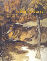
Search results from Open Library.
Recent natural events nearby
Ground air-quality sensors
Recently spotted species
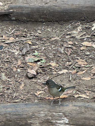
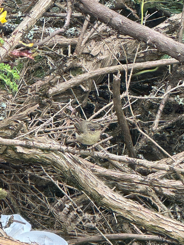
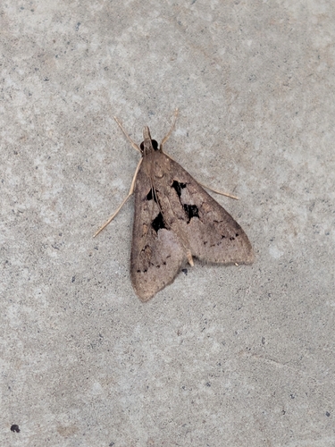
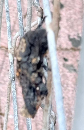
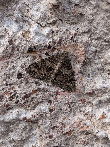
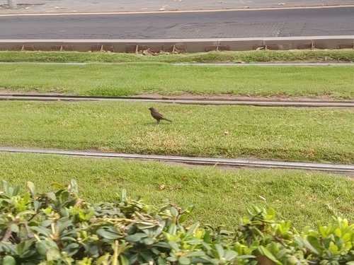
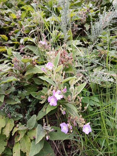
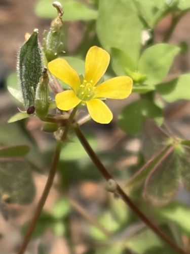
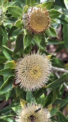
Research-grade observations from iNaturalist (within ~15 mi).
Events
Gallery
Geotagged photos within ~6 miles of San Cristóbal de La Laguna, from Wikimedia Commons contributors.
 0 mi
0 mi 0 mi
0 mi 0.1 mi
 0.1 mi
 0.1 mi
 0.1 mi
 0.1 mi
 0.1 mi
.jpg) 0.1 mi
0.1 mi.jpg) 0.1 mi
0.1 mi.jpg) 0.1 mi
0.1 mi.jpeg) 0.1 mi
0.1 mi.jpeg) 0.1 mi
0.1 mi.jpeg) 0.1 mi
0.1 mi.jpeg) 0.1 mi
0.1 mi 0.1 mi
 0.1 mi
 0.1 mi
 0.1 mi
 0.1 mi
.jpg) 0.1 mi
0.1 mi 0.1 mi
 0.1 mi
 0.1 mi
Photos via Wikimedia Commons — see each image page for license & attribution.
Sources
- • Wikipedia
- • Wikimedia Commons
- • Wikidata
- • iNaturalist
- • Open-Meteo / sunrise-sunset.org
- • Wikipedia Pageviews API
- • Open Library