Browse / Spain / Catalonia / Santa Coloma de Gramenet
Santa Coloma de Gramenet
Cataloniacity

Santa Coloma de Gramenet
Total population
123,250
Demographic figures from INE (Spain). Overview below cites Wikipedia and may reference a different year.
City facts
Facts from Wikidata (CC0).
Overview
Santa Coloma de Gramenet, informally simply known as Santa Coloma, and formerly as Gramenet de Besòs between 1936 and 1939, is a municipality in Barcelonès county, in Catalonia, Spain. It is situated on the south-east side of the coastal range, with the Puig Castellar (299 m) as its highest point, on the left bank of the Besòs river: the municipalities of Sant Adrià de Besòs and Badalona separate it from the coast. It is the ninth most populated city in Catalonia.
Read more on WikipediaHistory & geography
History
Various archaeological finds from the Neolithic and Eneolithic times, discovered within the Santa Coloma de Gramenet area, reveal the presence of human groups at least from the year 3500 BC. It seems that between the 10th and 6th centuries BC. Several migrations from the north arrived in the area that converged a short time later in the settlement of the Iberian tribe of Layetanos, established in the 6th or 5th century B.C. in Puig Castellar, in the extreme north of the current municipality. They occupied the entire coastal strip from Sitges to Blanes, and their culture survived until the strong impact of the Roman conquest (3rd century B.C.) marked the beginning of their progressive extinction. The town of Puig Castellar was probably abandoned at the beginning of the 2nd century B.C. There are hardly any data on the population in Roman and Visigothic times. It seems that there were several villages scattered in the valley, near the Besòs, very influenced by the neighboring cities: Baetulo (Badalona), active until the 2nd century A.D., and Barcino (Barcelona). After the relative abandonment of the Saracen invasion, from the 9th century the repopulation of the sector began. The new settlers, coming from the north, had to know the tradition of the martyrdom of Santa Coloma (Santa Columba de Sens, sacrificed by the Romans in Gaul in the year 274, when she was only 17 years old) and it is probable that a pre-Romanesque church was dedicated to her. which was destroyed by Almanzor in 985. A Romanesque temple was built in the same place, documented since 1019, which survived as a parish church for more than seven centuries. Around this church the first urban nucleus began to form, which coexisted with some old farmhouses.
Excerpted from the corresponding Wikipedia article (CC BY-SA).
Geography
Coordinates & boundaries from the US Census TIGER/Line shapefiles.
Climate
Air quality
Walkability
Amenities nearby
Wildlife & biodiversity
Most-observed species
- Eurasian MagpiePica pica (Linnaeus, 1758) · Aves25,496
- Common Wood-PigeonColumba palumbus Linnaeus, 1758 · Aves24,026
- Sardinian WarblerCurruca melanocephala (J.F.Gmelin, 1789) · Aves23,325
- House SparrowPasser domesticus (Linnaeus, 1758) · Aves22,754
- European SerinSerinus serinus (Linnaeus, 1766) · Aves21,201
- European RobinErithacus rubecula (Linnaeus, 1758) · Aves19,939
- Rock PigeonColumba livia J.F.Gmelin, 1789 · Aves19,870
- Yellow-legged GullLarus michahellis J.F.Naumann, 1840 · Aves19,367
Citizen-science & research observations from the Global Biodiversity Information Facility (GBIF).
Earthquake history
Most recent
- M 4.1 — 2010-12-194 km W of Llagostera, Spain
- M 3.8 — 2008-08-16Spain
- M 2.6 — 2008-08-073 km E of Susqueda, Spain
- M 2.8 — 2008-07-236 km W of Santa Coloma de Farners, Spain
- M 2.7 — 2008-07-236 km W of Santa Coloma de Farners, Spain
- M 2.9 — 2008-07-233 km W of Santa Coloma de Farners, Spain
Events from the USGS Earthquake Catalog (global) (FDSN Event Web Service).
Photos
Sights & places nearby
Notable people from here
Nearby places in Catalonia
- Santa Maria de Martorelles5.3 mi away · pop. 650
- la Palma de Cervelló12.6 mi away · pop. 1,309
- Abrera16.5 mi away · pop. 9,579
- Gelida17.9 mi away · pop. 6,453
- Cànoves18.3 mi away · pop. 368
- Mura20.9 mi away · pop. 183
- Olivella22.8 mi away · pop. 59
- Montseny23.3 mi away · pop. 113
- Piera24.1 mi away · pop. 7,790
- el Pont de Vilomara24.5 mi away · pop. 2,817
- Moià25.6 mi away · pop. 5,865
- el Brull25.7 mi away · pop. 187
Geography & sun
Elevation, sunrise/sunset and daylight from Open-Meteo. Solar climatology from NASA POWER.
Nearby airports
Public attention
Pageview totals from the Wikimedia Pageviews API.
Books about Santa Coloma de Gramenet
Search results from Open Library.
Recent natural events nearby
Ground air-quality sensors
Recently spotted species
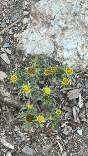
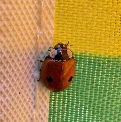
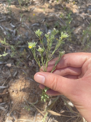
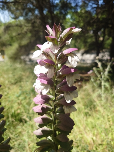
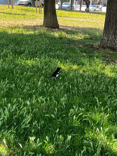
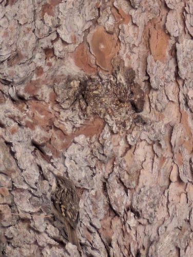
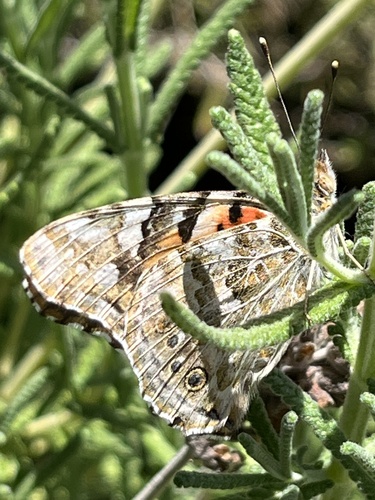
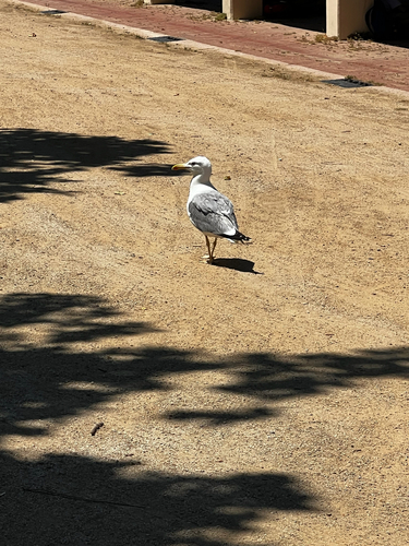
Research-grade observations from iNaturalist (within ~15 mi).
Events
Gallery
Geotagged photos within ~6 miles of Santa Coloma de Gramenet, from Wikimedia Commons contributors.


.JPG)
.JPG)

.JPG)
.JPG)


.jpg)
.jpg)
Photos via Wikimedia Commons — see each image page for license & attribution.
Sources
- • Wikipedia
- • Wikimedia Commons
- • Wikidata
- • USGS Earthquake Catalog (global feed)
- • GBIF (Global Biodiversity Information Facility)
- • iNaturalist
- • Open-Meteo / sunrise-sunset.org
- • Wikipedia Pageviews API
- • Open Library