Browse / Spain / Valencian Community / Santa Pola
Santa Pola
Valencian Communitytown

Santa Pola
Total population
26,765
Demographic figures from INE (Spain). Overview below cites Wikipedia and may reference a different year.
City facts
Sister cities
Facts from Wikidata (CC0).
Overview
Santa Pola is a coastal town and municipality located in the comarca of Baix Vinalopó in the Valencian Community, Spain, by the Mediterranean Sea. It has an area of 58.6 km2 (23 sq mi) and has a population of 36,174 inhabitants of whom 6,000 are residents of the nearby town of Gran Alacant.
Read more on WikipediaHistory & geography
History
The first settlements in the area remount to the third millennium BC, proof of which have been tools and paintings from the Neolithic found in the Cueva de las Arañas del Carabassí, as well as remains found from hunter-gatherers of the Palaeolithic in the Cueva de las Teresitas. During the fourth century BCE, a small walled settlement was built near Vanalopó river. It served mainly as a Greek-Iberia economical hub. During the first century CE, near the former site a port was built, serving the city of Illici, named Portus Illicitanus () (cited by Claudius Ptolemy in Geography). This port proved paramount for the development of the region's maritime commerce, together with Cartagena's. In 460 AC, emperor Majorians flotilla set sail to attack north African vandals, but was burnt at that same port. From the Roman settlement a necropolis is still in place, as well as a fish-salting factory and the Roman House of Palmeral. Their remains are described as back as 1621 by Cristòfol Sanz, although they were excavated during the 20th century.
Excerpted from the corresponding Wikipedia article (CC BY-SA).
Geography
Coordinates & boundaries from the US Census TIGER/Line shapefiles.
Climate
Air quality
Walkability
Amenities nearby
Wildlife & biodiversity
Earthquake history
Photos
Sights & places nearby
Notable people from here
Nearby places in Valencian Community
- la Baia5.2 mi away · pop. 1,741
- la Marina5.8 mi away · pop. 1,452
- la Foia7.1 mi away · pop. 2,252
- Torrellano7.2 mi away · pop. 6,773
- San Fulgencio10.5 mi away · pop. 1,554
- el Rebolledo10.9 mi away · pop. 1,099
- Alicante11.1 mi away · pop. 351,893
- Daya Vieja11.6 mi away · pop. 551
- Rojales11.6 mi away · pop. 5,116
- Urbanización Lo Pepin11.9 mi away
- Daya Nueva12.4 mi away · pop. 1,655
- Benijófar12.7 mi away · pop. 2,689
Geography & sun
Elevation, sunrise/sunset and daylight from Open-Meteo. Solar climatology from NASA POWER.
Nearby airports
Public attention
Pageview totals from the Wikimedia Pageviews API.
Books about this place
Recent natural events nearby
Ground air-quality sensors
Recently spotted species
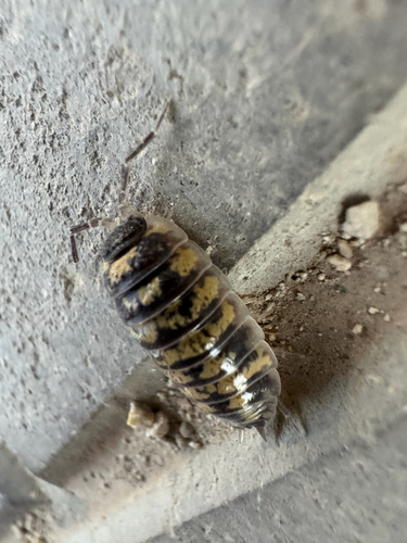
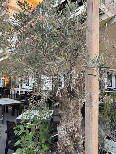
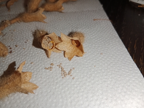
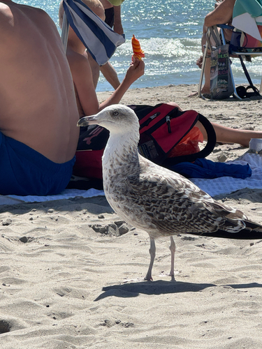
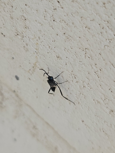
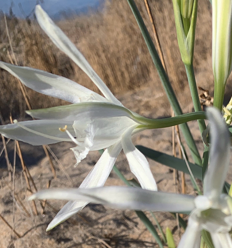
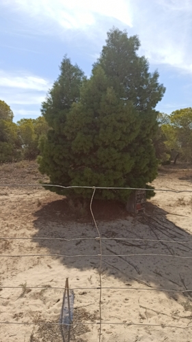
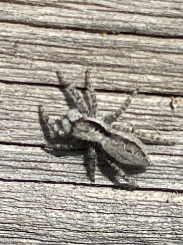
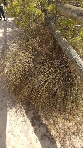
Research-grade observations from iNaturalist (within ~15 mi).
Events
Gallery
Sources
- • Wikipedia
- • Wikidata
- • iNaturalist
- • Open-Meteo / sunrise-sunset.org
- • Wikipedia Pageviews API