Browse / Spain / Castile and León / Segovia
Segovia
Castile and Leóncity

Segovia
Total population
49,579
Demographic figures from INE (Spain). Overview below cites Wikipedia and may reference a different year.
City facts
Overview
Segovia is a city in the autonomous community of Castile and León, Spain. It is the capital and most populated municipality of the Province of Segovia. Segovia is located in the Inner Plateau of the Iberian Peninsula, near the northern slopes of the Sistema Central mountain range. Housing is nestled on a bend of the Eresma river.
Read more on WikipediaHistory & geography
History
The first recorded mention of a settlement in what is today Segovia was a Celtic possession. Control later passed into the hands of the Romans. The city is a possible site of the battle in 75 BC where Quintus Caecilius Metellus Pius was victorious over Quintus Sertorius and Hirtuleius. Hirtuleius died in the fighting. During the late Roman period, the settlement belonged to one of numerous contemporary Latin convents. Later records traditionally indicate that the townsite was uninhabited at the height of the 11th century. The circumstances behind the resettlement of the northern Meseta beyond the Douro (vis-à-vis the pre-Reconquesta population) under the advancing Christian kingdoms in the middle ages is, however, a moot point in historiography. Short of the existence of any verified urban layout in the townsite, possible early eleventh century Berber or Mozarab settlements in the area seem likely. After the conquest of Toledo by Alfonso VI of León and Castile, Segovia was resettled with Christians from the north of the Iberian peninsula and beyond the Pyrenees, providing it with a significant sphere of influence whose boundaries crossed the Sierra de Guadarrama and the Tagus. Segovia's position on trading routes made it an important centre of trade in wool and textiles. The end of the Middle Ages saw something of a golden age for Segovia, with a growing Jewish population and the creation of a foundation for a powerful cloth industry. Several splendid works of Gothic architecture were also completed during this period. Notably, Isabella I was proclaimed queen of Castile in the church of San Miguel de Segovia on December 13, 1474. Segovienne was a local flannel cloth used for upholstery in the 14th to 17th centuries. It was a twilled weave structure with a hairy…
Geography
Segovia is located near the Eresma rivercourse (a second-order tributary of the Douro), close to the northwestern slope of the Sierra de Guadarrama mountains, a subrange of the Sistema Central. The main route of the Camino de Santiago de Madrid passes through the city. Segovia has a hot-summer Mediterranean climate (Csa in the Köppen climate classification) bordering on a cold semi-arid climate (BSk), resulting from the high altitude and the distance from the coast. The average annual temperature is , with an average low in January of and an average high in July of . The annual precipitation ranges from 400 to 500 mm per year in the lower plains, and can reach above 1000 mm in the nearby mountainous area of the Sierra de Guadarrama, rain and snow are more frequent in the mountains. Showers from summer thunderstorms help the mountainous area of the province be wetter than the average for most of the central Spanish plateau, this gives the area lush vegetation. This makes the province a damp corner in the context of the region. The predominant forms of vegetation in the mountainous areas include pine, evergreen, oak, beech and juniper. Aside from the main city, there are a number of other villages within the municipality of Segovia. * Fuentemilanos * Hontoria * Madrona * Revenga, established in 1983 as a "minor local entity" (Spanish: ), a category of sub-municipal entities in Spain. * Zamarramala * Torredondo * Perogordo
Excerpted from the corresponding Wikipedia article (CC BY-SA).
Geography
Coordinates & boundaries from the US Census TIGER/Line shapefiles.
Climate
Air quality
Walkability
Amenities nearby
Wildlife & biodiversity
Earthquake history
Photos
Sights & places nearby
Notable people from here
Nearby places in Castile and León
- La Granja6.8 mi away · pop. 4,365
- San Rafael16.5 mi away · pop. 2,558
- Santa María la Real de Nieva17.3 mi away · pop. 463
- Villacastín19.3 mi away · pop. 1,543
- Nava de la Asunción24 mi away · pop. 2,682
- Martín Muñoz de las Posadas25.3 mi away · pop. 259
- Adanero25.4 mi away · pop. 214
- Las Navas del Marqués26.2 mi away · pop. 5,585
- Aldealcorvo26.6 mi away · pop. 15
- Santiuste de San Juan Bautista27.8 mi away · pop. 521
- Coca28.2 mi away · pop. 1,580
- Navalperal de Pinares28.9 mi away · pop. 836
Geography & sun
Elevation, sunrise/sunset and daylight from Open-Meteo. Solar climatology from NASA POWER.
Nearby airports
Public attention
Pageview totals from the Wikimedia Pageviews API.
Books about Segovia
Search results from Open Library.
Recent natural events nearby
Ground air-quality sensors
Recently spotted species
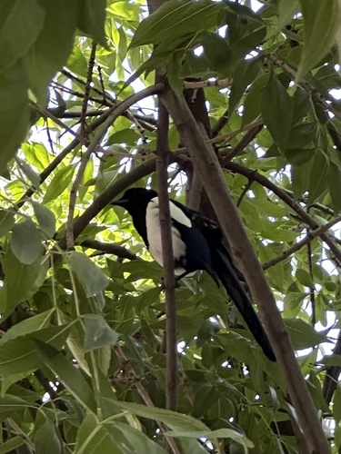
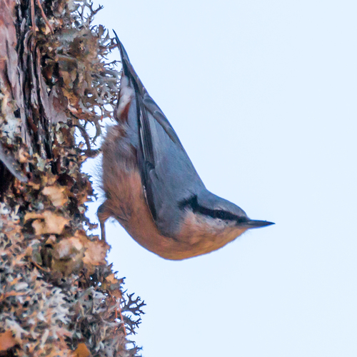
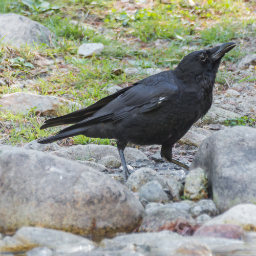
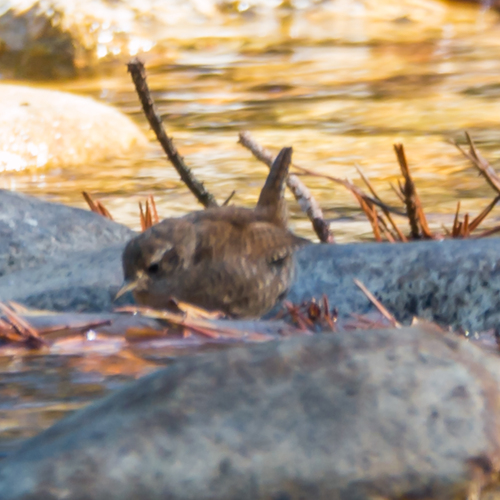
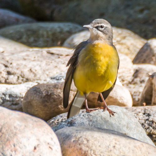
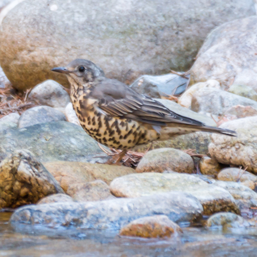
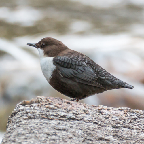
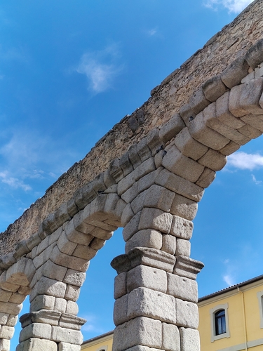
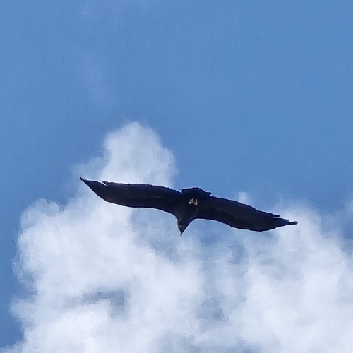
Research-grade observations from iNaturalist (within ~15 mi).
Events
Gallery
Official Identifiers
INE — Spanish National Statistics
- INE code
- 40194
- Population (Wikidata)
- 52,375
- Wikidata
- Q15684
Municipality codes via Wikidata P772
Sources
- • Wikipedia
- • iNaturalist
- • Open-Meteo / sunrise-sunset.org
- • Wikipedia Pageviews API
- • Open Library
- • INE — Spanish national statistics, municipality code via Wikidata P772
- • INE — Spanish National Statistics — Municipality codes via Wikidata P772