Browse / Spain / Extremadura / Torrequemada
Torrequemada
Extremaduravillage

Torrequemada
Total population
564
Demographic figures from INE (Spain). Overview below cites Wikipedia and may reference a different year.
City facts
Facts from Wikidata (CC0).
Overview
Torrequemada is a municipality located in the province of Cáceres, in the autonomous community of Extremadura, Spain. The name Torrequemada is derived from the Spanish words torre meaning "tower" and quemada meaning "burnt." In 1594 it was part of the Cáceres district in the province of Trujillo.
Read more on WikipediaHistory & geography
Geography
Coordinates & boundaries from the US Census TIGER/Line shapefiles.
Climate
Air quality
Walkability
Amenities nearby
Wildlife & biodiversity
Most-observed species
- corn buntingEmberiza calandra Linnaeus, 1758 · Aves6,646
- Crested LarkGalerida cristata (Linnaeus, 1758) · Aves6,368
- Spotless StarlingSturnus unicolor Temminck, 1820 · Aves6,072
- European StonechatSaxicola rubicola (Linnaeus, 1766) · Aves4,846
- Eurasian HoopoeUpupa epops Linnaeus, 1758 · Aves4,743
- Eurasian GriffonGyps fulvus (Hablizl, 1783) · Aves4,533
- Calandra LarkMelanocorypha calandra (Linnaeus, 1766) · Aves4,389
- White StorkCiconia ciconia (Linnaeus, 1758) · Aves4,178
Citizen-science & research observations from the Global Biodiversity Information Facility (GBIF).
Earthquake history
Most recent
- M 2.8 — 2007-06-15Spain
- M 4.1 — 2006-01-220 km SE of Feria, Spain
- M 3.6 — 2005-12-198 km NNE of Salorino, Spain
- M 2.5 — 2003-01-275 km ESE of Calzadilla, Spain
- M 2.5 — 2002-10-034 km SSW of Talaván, Spain
- M 2.7 — 2002-10-024 km W of Ceclavín, Spain
Events from the USGS Earthquake Catalog (global) (FDSN Event Web Service).
Photos
Sights & places nearby
Notable people from here
Geography & sun
Elevation, sunrise/sunset and daylight from Open-Meteo. Solar climatology from NASA POWER.
Nearby airports
Public attention
Pageview totals from the Wikimedia Pageviews API.
Books about this place
Recent natural events nearby
Ground air-quality sensors
Recently spotted species
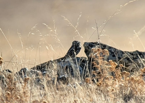
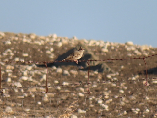
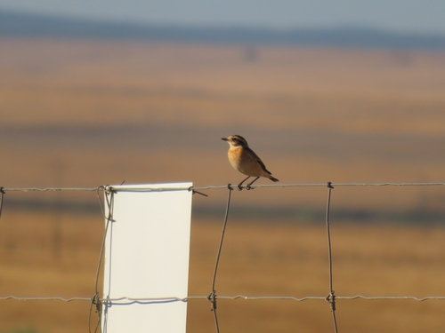
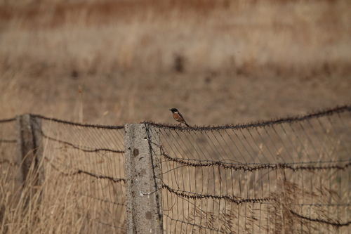
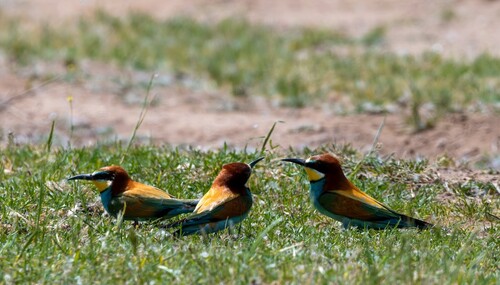
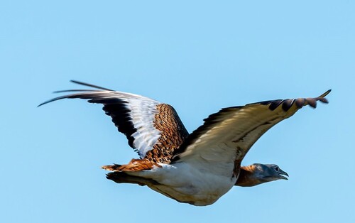
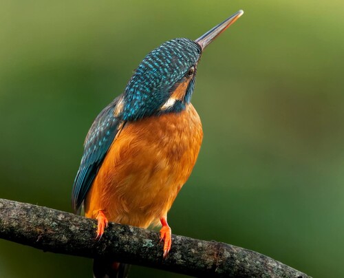
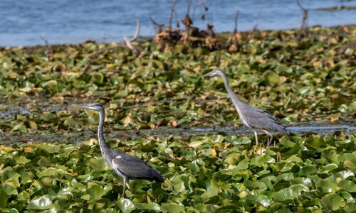
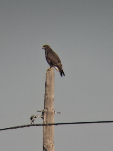
Research-grade observations from iNaturalist (within ~15 mi).
Events
Gallery
Sources
- • Wikipedia
- • Wikidata
- • USGS Earthquake Catalog (global feed)
- • GBIF (Global Biodiversity Information Facility)
- • iNaturalist
- • Open-Meteo / sunrise-sunset.org
- • Wikipedia Pageviews API