Browse / Spain / Catalonia / Vilobí d'Onyar
Vilobí d'Onyar
Cataloniavillage

Vilobí d'Onyar
Total population
1,505
Demographic figures from INE (Spain). Overview below cites Wikipedia and may reference a different year.
City facts
Facts from Wikidata (CC0).
Overview
Vilobí d'Onyar is a municipality in the comarca of the Selva in Catalonia, Spain. It is situated in the valley of the Onyar river, on the GE-533 road between Santa Coloma de Farners and Riudellots de la Selva. A substantial part of the northern portion of the municipality is taken up by Girona-Costa Brava Airport.
Read more on WikipediaHistory & geography
Geography
Coordinates & boundaries from the US Census TIGER/Line shapefiles.
Climate
Air quality
Walkability
Amenities nearby
Wildlife & biodiversity
Earthquake history
Photos
Sights & places nearby
Notable people from here
Nearby places in Catalonia
- Aiguaviva3.6 mi away · pop. 376
- Fornells de la Selva4.6 mi away · pop. 2,325
- Caldes de Malavella4.8 mi away · pop. 3,724
- Llambilles6.2 mi away · pop. 161
- Maçanet de la Selva7.7 mi away · pop. 3,117
- Juià12.3 mi away · pop. 146
- Madremanya13.1 mi away · pop. 136
- Santa Cristina d'Aro14.1 mi away · pop. 3,005
- Sant Joan de Mollet14.9 mi away · pop. 525
- Tossa de Mar15.2 mi away · pop. 5,657
- Palafolls15.3 mi away · pop. 7,987
- Flaçà15.5 mi away · pop. 1,141
Geography & sun
Elevation, sunrise/sunset and daylight from Open-Meteo. Solar climatology from NASA POWER.
Nearby airports
Public attention
Pageview totals from the Wikimedia Pageviews API.
Books about this place
Recent natural events nearby
Ground air-quality sensors
Recently spotted species
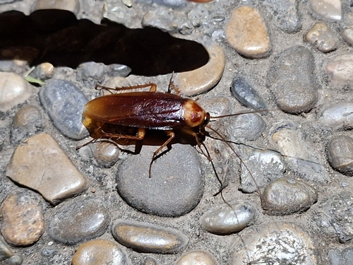
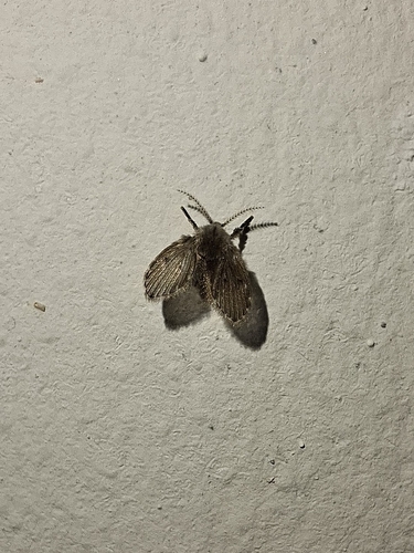
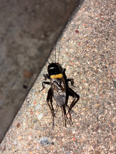
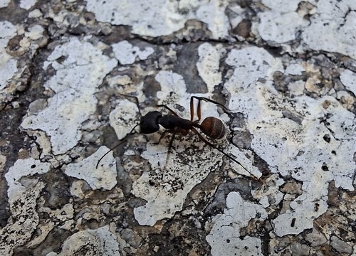
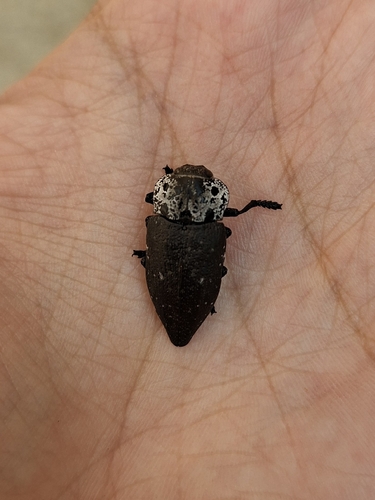
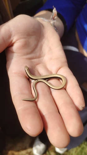
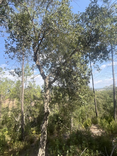

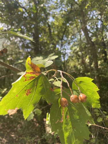
Research-grade observations from iNaturalist (within ~15 mi).
Events
Gallery
Sources
- • Wikipedia
- • Wikidata
- • iNaturalist
- • Open-Meteo / sunrise-sunset.org
- • Wikipedia Pageviews API