Browse / Spain / Extremadura / Zahínos
Zahínos
Extremaduravillage

Featured view
Zahínos
Total population
2,776
Elevation374 m
Land area45.3 km²
Coordinates38.33°, -6.95°
Demographic figures from INE (Spain). Overview below cites Wikipedia and may reference a different year.
Loading additional data from public sources…0 / 11
CensusWikipediaWeatherPlacesPeopleEnvironmentHealth & SchoolsRelatedGeography & CultureLive MonitoringEvents & Gallery
0% completeCity facts
Facts from Wikidata (CC0).
Overview
Zahínos is a municipality located in the southwestern corner of the province of Badajoz, Extremadura, Spain. It is located close to the border with Portugal.
Read more on WikipediaHistory & geography
Geography
Latitude
38.3305
Longitude
-6.9547
Water area
—
Coordinates & boundaries from the US Census TIGER/Line shapefiles.
Climate
Air quality
Walkability
Amenities nearby
Wildlife & biodiversity
Earthquake history
Photos
Sights & places nearby
Notable people from here
Nearby places in Extremadura
- Oliva de la Frontera4.2 mi away · pop. 4,806
- Higuera de Vargas8.1 mi away · pop. 1,796
- Valle de Matamoros8.8 mi away · pop. 333
- Valle de Santa Ana9.3 mi away · pop. 1,083
- Jerez de los Caballeros10 mi away · pop. 8,027
- Valencia del Mombuey10.8 mi away · pop. 698
- Villanueva del Fresno11.8 mi away · pop. 3,115
- Barcarrota14 mi away · pop. 3,386
- Táliga14 mi away · pop. 642
- Alconchel14.3 mi away · pop. 1,547
- Salvaleón15.4 mi away · pop. 1,598
- Salvatierra de los Barros18.3 mi away · pop. 1,492
Geography & sun
Avg solar (kWh/m²/day)
4.96
Annual solar (kWh/m²)
1,811
Elevation, sunrise/sunset and daylight from Open-Meteo. Solar climatology from NASA POWER.
Nearby airports
Public attention
Wikipedia views (last 30 days)
26
Avg daily Wikipedia views
1
Attention level
Obscure
Pageview totals from the Wikimedia Pageviews API.
Books about this place
Recent natural events nearby
Ground air-quality sensors
Recently spotted species
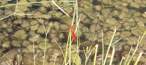
Broad Scarlet
Crocothemis erythraea
Seen 2026-08-25
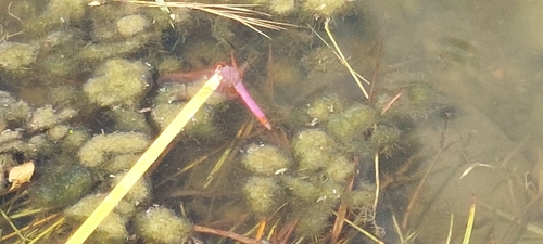
Violet Dropwing
Trithemis annulata
Seen 2026-08-25
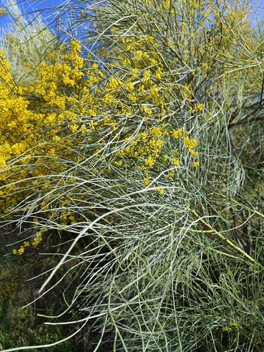
Yellow Bridal Broom
Retama sphaerocarpa
Seen 2026-05-23
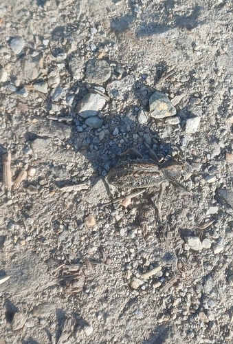
Sepidium bidentatum
Sepidium bidentatum
Seen 2026-05-16
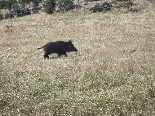
Wild Boar
Sus scrofa
Seen 2026-05-14
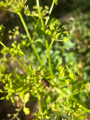
Continental Striped Shield Bug
Graphosoma italicum italicum
Seen 2026-04-30
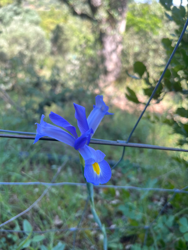
Spanish Iris
Iris xiphium
Seen 2026-04-30
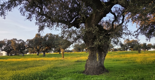
sweet acorn oak
Quercus rotundifolia
Seen 2026-01-11
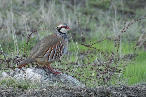
Red-legged Partridge
Alectoris rufa
Seen 2025-12-13
Research-grade observations from iNaturalist (within ~15 mi).
Events
Gallery
Sources
- • Wikipedia
- • Wikidata
- • iNaturalist
- • Open-Meteo / sunrise-sunset.org
- • Wikipedia Pageviews API