Browse / Ethiopia / Tigray / Abiy Addi
Abiy Addi
Tigraytown

Abiy Addi
Air quality index
Demographic figures from Ethiopian Statistical Service. Overview below cites Wikipedia and may reference a different year.
City facts
Facts from Wikidata (CC0).
Overview
Abiy Addi is a town in central Tigray Region, Ethiopia. Abiy Addi is at the southeastern edge of the Kola Tembien woreda, of which it is the capital.
Read more on WikipediaHistory & geography
History
Abiy Addi owed its importance in the 19th century due to its location on the "King's Road", at the point where the road south from Adwa split, one branch taking travellers to Debre Tabor and the other to the Lake Ashenge region. The British explorer Charles Beke passed through this town (which he called "A'biyad") 15 April 1843, and described it later as "the principal place of Tembien, and a large market-town." However, in later years the fortunes of the town varied. By 1890, visitors described Abiy Addi as a small market town which handled various imported goods, such as mirrors made in France, cotton cloth from Manchester and Mumbai, as well as the usual local produce. Writing a few years later, Augustus B. Wylde described the Abiy Addi market, held on Saturdays, as of medium size. On 5 December 1935, during the Second Italo-Ethiopian War, Abiy Addi was occupied by the Italian Eritrean Corps. the town was evacuated later that month. Then, after having been headquarters of Ras Kassa Haile Darge and Ras Seyoum Mengesha, it was definitely reoccupied by the Italians on 28 February 1936. A rock-hewn church served as the shelter of Ras Kassa. The Derg attacked the town twice in 1988, once with helicopters, killing and wounding 48 people.
Excerpted from the corresponding Wikipedia article (CC BY-SA).
Geography
Coordinates & boundaries from the US Census TIGER/Line shapefiles.
Climate
Air quality
Current readings from Open-Meteo Air Quality API (Copernicus CAMS European reanalysis).
Walkability
Amenities nearby
Wildlife & biodiversity
Earthquake history
Most recent
- M 4.2 — 2026-01-2156 km NE of Mek'ele, Ethiopia
- M 4.4 — 2026-01-2152 km NE of Mek'ele, Ethiopia
- M 4.4 — 2025-11-0139 km ENE of Mek'ele, Ethiopia
- M 4.5 — 2025-10-2044 km SE of Ādīgrat, Ethiopia
- M 4.4 — 2025-10-1555 km NE of Mek'ele, Ethiopia
- M 4.3 — 2025-10-1453 km NE of Mek'ele, Ethiopia
Events from the USGS Earthquake Catalog (global) (FDSN Event Web Service).
Photos
Sights & places nearby
Notable people from here

People born within ~10 km, from Wikidata (CC0). Click any name for their Wikipedia article.
Nearby places in Tigray
Geography & sun
Elevation, sunrise/sunset and daylight from Open-Meteo. Solar climatology from NASA POWER.
Nearby airports
Public attention
Pageview totals from the Wikimedia Pageviews API.
Books about this place
Recent natural events nearby
Ground air-quality sensors
Recently spotted species
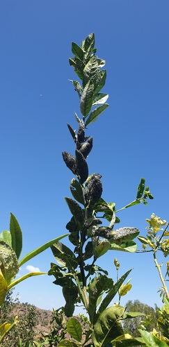
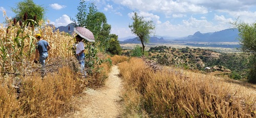

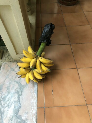

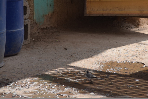
Research-grade observations from iNaturalist (within ~15 mi).
Events
Gallery
Sources
- • Wikipedia
- • Wikidata
- • Open-Meteo Air Quality (CAMS)
- • USGS Earthquake Catalog (global feed)
- • iNaturalist
- • Open-Meteo / sunrise-sunset.org
- • Wikipedia Pageviews API