Browse / Ethiopia / Oromia / Adama
Adama
Oromiacity

Adama
Total population
228,623
Demographic figures from Ethiopian Statistical Service. Overview below cites Wikipedia and may reference a different year.
City facts
Facts from Wikidata (CC0).
Overview
Adama, formerly Nazreth, is one of the cities of Oromia Region of Ethiopia. Located in the East Shewa Zone 99 km (62 mi) southeast of the capital, Addis Ababa, the city sits between the base of an escarpment to the west, and the Great Rift Valley to the east.
Read more on WikipediaHistory & geography
History
The city name Adama may have been derived from the Oromo word ', which means a cactus or a cactus-like tree. More specifically, ' means Euphorbia candelabrum, a tree of the spurge family, while would mean Indian fig. Following World War II, Emperor Haile Selassie renamed the town after Biblical Nazareth. In 2000, the city officially reverted back to Adama, In 2000, the Federal government moved the regional capital of Oromia from Addis Ababa to Adama, On the other hand, the government maintained that Addis Ababa "has been found inconvenient from the point of view of developing the language, culture and history of the Oromo people".
Excerpted from the corresponding Wikipedia article (CC BY-SA).
Geography
Coordinates & boundaries from the US Census TIGER/Line shapefiles.
Climate
Air quality
Walkability
Amenities nearby
Wildlife & biodiversity
Most-observed species
- Pied CrowCorvus albus Statius Muller, 1776 · Aves29
- Speckled PigeonColumba guinea Linnaeus, 1758 · Aves25
- Black KiteMilvus migrans (Boddaert, 1783) · Aves24
- Red-eyed DoveStreptopelia semitorquata (Rüppell, 1837) · Aves18
- Marabou StorkLeptoptilos crumenifer (R.P.Lesson, 1831) · Aves18
- Hooded VultureNecrosyrtes monachus (Temminck, 1823) · Aves17
- Sacred IbisThreskiornis aethiopicus (Latham, 1790) · Aves15
- Abdim's StorkCiconia abdimii Lichtenstein, 1823 · Aves15
Citizen-science & research observations from the Global Biodiversity Information Facility (GBIF).
Earthquake history
Most recent
- M 4.6 — 2026-08-0919 km ESE of Metahāra, Ethiopia
- M 4 — 2026-06-2541 km NW of Metahāra, Ethiopia
- M 4.5 — 2026-05-229 km NE of Metahāra, Ethiopia
- M 4.3 — 2026-05-1011 km N of Metahāra, Ethiopia
- M 4.3 — 2026-04-0112 km NNE of Metahāra, Ethiopia
- M 4.3 — 2026-03-2143 km S of Metahāra, Ethiopia
Events from the USGS Earthquake Catalog (global) (FDSN Event Web Service).
Photos
Sights & places nearby
Notable people from here


People born within ~10 km, from Wikidata (CC0). Click any name for their Wikipedia article.
Geography & sun
Elevation, sunrise/sunset and daylight from Open-Meteo. Solar climatology from NASA POWER.
Nearby airports
Public attention
Pageview totals from the Wikimedia Pageviews API.
Books about this place
Recent natural events nearby
Ground air-quality sensors
Recently spotted species
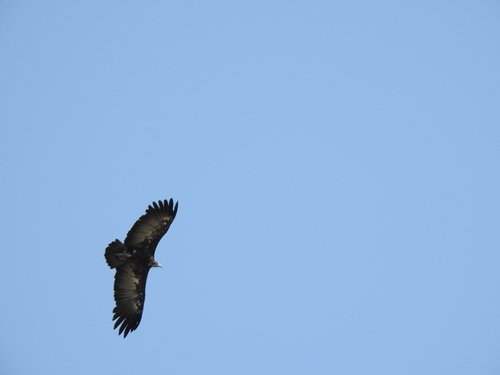
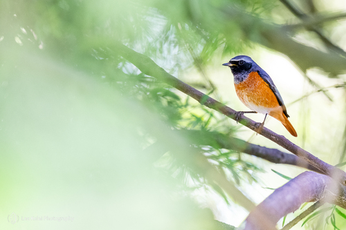
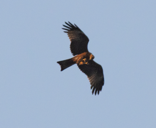
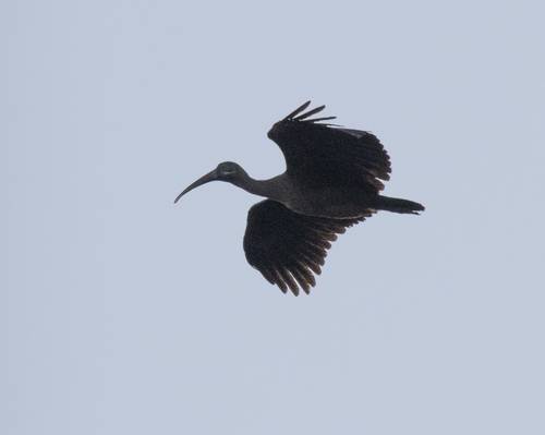
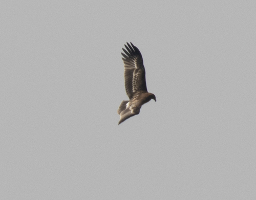
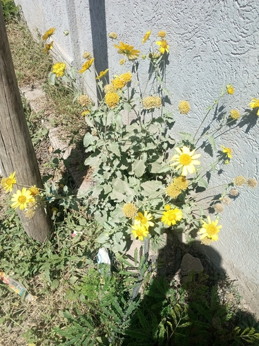
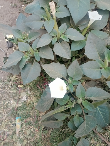
Research-grade observations from iNaturalist (within ~15 mi).
Events
Gallery
Sources
- • Wikipedia
- • Wikidata
- • USGS Earthquake Catalog (global feed)
- • GBIF (Global Biodiversity Information Facility)
- • iNaturalist
- • Open-Meteo / sunrise-sunset.org
- • Wikipedia Pageviews API