Browse / Ethiopia / Tigray / Alamata
Alamata
Tigraytown

Alamata
Demographic figures from Ethiopian Statistical Service. Overview below cites Wikipedia and may reference a different year.
City facts
Facts from Wikidata (CC0).
Overview
Alamata is a town in the Tigray Region of Ethiopia. Located in the Debubawi (Southern) zone of Tigray it has a latitude and longitude of 12°25′N 39°33′E and an elevation of 1,520 metres (4,990 ft) above sea level and is located along Ethiopian Highway 2. It is surrounded by Alamata woreda.
Read more on WikipediaHistory & geography
History
On 14 December 1895, Emperor Menilek's passed through Alamata on their way northwards against the Italians. Arbegnoch under British leadership, liberated the town from Italian control during the Second World War on 5 May 1941; it was at the southern edge of the Woyane rebellion of 1943. On 14 December 1895, Emperor Menilek's passed through Alamata on their way northwards against the Italians. Arbegnoch under British leadership, liberated the town from Italian control during the Second World War on 5 May 1941; it was at the southern edge of the Woyane rebellion of 1943. The first reports of crop failure in Wollo, were made in October 1971 by the chief municipal officer of Alamata; this report was handled very indifferently by his superiors who did not respond until July 1972, when they asked for a revised report. Alamata was garrisoned by the Derg during the Ethiopian Civil War. The Tigray People's Liberation Front captured the town in 1988.
Geography
Alamata is located in the southern zone of Tigray. It is situated north of Addis Ababa and about south of the Tigray Regional capital city, Mekelle. Topographically, Alamata is divided into western highland and eastern lowland. The western part (Tsetsera and Merewa) is categorized under the northern highlands of Ethiopia, having an altitude range of . It is characterized by steep slopes, gorges and undulating terrain having scattered flat lands used for grazing livestock and farming. It covers 25% of the woreda. The topography of the area dominated by steep slopes has induced erosion. The eastern lowland with its eight tabias is generally plain in topography with an altitude ranging from . The plain landscape of this area makes the area suitable for agriculture and it covers 75% of the woreda. Alamata is located in the endoreic basin of the Afar Triangle. The streams near Alamata do not reach the ocean.
Excerpted from the corresponding Wikipedia article (CC BY-SA).
Geography
Coordinates & boundaries from the US Census TIGER/Line shapefiles.
Climate
Air quality
Walkability
Amenities nearby
Wildlife & biodiversity
Earthquake history
Most recent
- M 4.3 — 2025-09-0291 km ESE of Maych’ew, Ethiopia
- M 4.2 — 2025-07-2177 km ENE of Maych’ew, Ethiopia
- M 4.4 — 2024-07-0638 km S of Robīt, Ethiopia
- M 4.2 — 2005-09-2875 km E of Rob?t, Ethiopia
- M 4.7 — 2005-09-2888 km NW of Semera, Ethiopia
- M 4.1 — 2005-09-2792 km NW of Semera, Ethiopia
Events from the USGS Earthquake Catalog (global) (FDSN Event Web Service).
Photos
Sights & places nearby
Notable people from here
People born within ~10 km, from Wikidata (CC0). Click any name for their Wikipedia article.
Nearby places in Tigray
Geography & sun
Elevation, sunrise/sunset and daylight from Open-Meteo. Solar climatology from NASA POWER.
Nearby airports
Public attention
Pageview totals from the Wikimedia Pageviews API.
Books about Alamata
Search results from Open Library.
Recent natural events nearby
Ground air-quality sensors
Recently spotted species
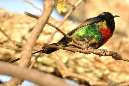
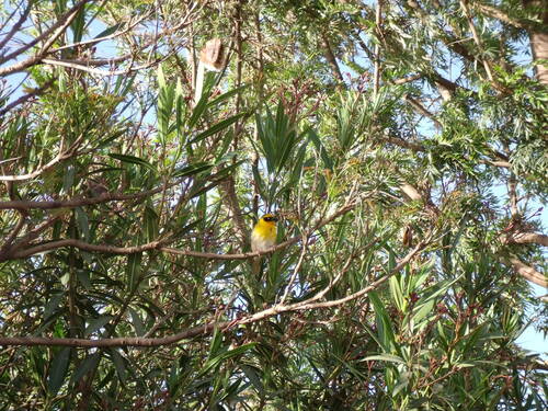
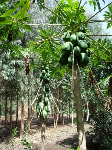
Research-grade observations from iNaturalist (within ~15 mi).
Events
Gallery
Sources
- • Wikipedia
- • Wikidata
- • USGS Earthquake Catalog (global feed)
- • GBIF (Global Biodiversity Information Facility)
- • iNaturalist
- • Open-Meteo / sunrise-sunset.org
- • Wikipedia Pageviews API
- • Open Library