Browse / Ethiopia / Amhara / Ankober
Ankober
Amharavillage
Total population
2,485
Demographic figures from Ethiopian Statistical Service. Overview below cites Wikipedia and may reference a different year.
City facts
Facts from Wikidata (CC0).
Overview
Ankober, formerly known as Ankobar, is a town in central Ethiopia. Located in the North Shewa Zone of the Amhara Region, it's perched on the eastern escarpment of the Ethiopian Highlands at an elevation of about 2,465 meters (8,100 ft). It is 40 kilometers (25 mi) to the east of Debre Birhan and about 90 miles (140 km) northeast of Addis Ababa.
Read more on WikipediaHistory & geography
History
Ankober may have formerly been known as Gorobela. Meridazmach Amha Iyasus, moved the capital of Shewa from Doqaqit (located near Debre Sina) to Ankober. It remained the principal residence of the rulers of Shewa until Negus (later Emperor) Menelik II moved it to Mount Entoto in 1878, although Wossen Seged preferred to live at Qundi during his reign. The name of the town is said to have been taken from an Oromo Queen, Anko, who ruled the town during the reign of Qedami Qal. The first Europeans to record their visit to Ankober were the Evangelical missionaries Carl Wilhelm Isenberg and Johann Ludwig Krapf in 1839. However, at the time there was a small colony of Greeks, who made their living as craftsmen and tradesmen. In the following years, a steady stream of travellers visited Ankober, including Captain William Cornwallis Harris. Following the death of Meridazmach Sahle Selassie in 1847, the Abichu Oromo rebelled and attacked Ankober; only the firearms Sahle Selassie had collected there saved the capital. The Shewans burned the town in 1856 in reaction to the invasion, and eventual conquest, of Emperor Tewodros II. It was soon rebuilt, and used by Tewodros's appointees Haile Mikael and Seyfe Sahle Selassie as their seat of power. Around the time of the First World War, the population was around 2000. In the military actions leading to the Battle of Segale, on 18 October 1916 Negus Mikael's troops crushed an advance force of 11,000 men stationed in Ankober and killed their leader, Ras Lul Seged. During the Italian occupation, the town consisted of about 3,000 inhabitants living on two hilltops of different height. The Italian Resident lived on the higher hill, and on the lower hill were the two round churches Maryam and Medhane Alem. Around this time the Italians…
Excerpted from the corresponding Wikipedia article (CC BY-SA).
Geography
Coordinates & boundaries from the US Census TIGER/Line shapefiles.
Climate
10-year averages from ERA5 reanalysis (Open-Meteo).
Air quality
Walkability
Amenities nearby
Wildlife & biodiversity
Earthquake history
Photos
Sights & places nearby
Notable people from here
Nearby places in Amhara
- Kulmersk165.8 mi away
- Santa Rita da Valeria6667.5 mi away
- Bom Socorro6682.3 mi away
- Nhamundá6682.6 mi away · pop. 20,136
- Vila Amazônia6683.7 mi away
- Espírito Santo6687.3 mi away
- Cutipanã6689.9 mi away
- Benedito6690.1 mi away
- Santo Antônio do Tracajá6690.7 mi away
- Santa Maria do Mamoriacá6696.2 mi away
- Marajó6696.3 mi away
- Vila Santa Maria6703.7 mi away
Geography & sun
Elevation, sunrise/sunset and daylight from Open-Meteo. Solar climatology from NASA POWER.
Nearby airports
Public attention
Pageview totals from the Wikimedia Pageviews API.
Books about Ankober
Search results from Open Library.
Recent natural events nearby
Ground air-quality sensors
Recently spotted species
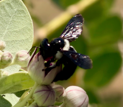
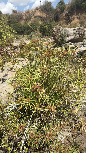
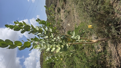
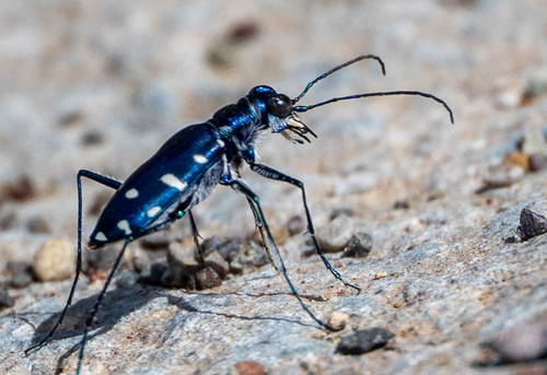
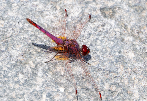
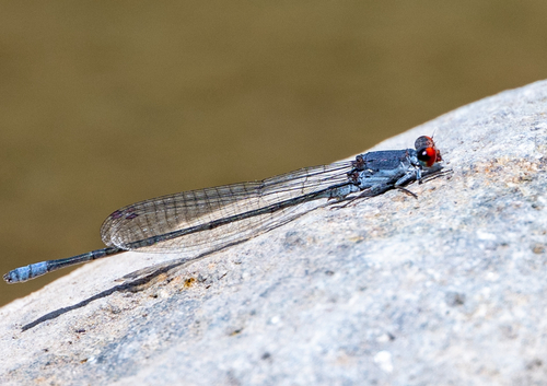
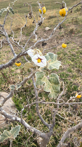
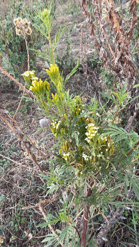
Research-grade observations from iNaturalist (within ~15 mi).
Events
Gallery
Sources
- • Wikipedia
- • Open-Meteo (ERA5 reanalysis)
- • Wikidata
- • iNaturalist
- • Open-Meteo / sunrise-sunset.org
- • Wikipedia Pageviews API
- • Open Library