Browse / Ethiopia / Tigray / Axum
Axum
Tigraytown

Axum
Total population
51,790
Demographic figures from Ethiopian Statistical Service. Overview below cites Wikipedia and may reference a different year.
City facts
Sister cities
Facts from Wikidata (CC0).
Overview
Axum, also spelled Aksum, is a town in the Tigray Region of Ethiopia with a population of 66,900 residents. It is the site of the historic capital of the Aksumite Empire.
Read more on WikipediaHistory & geography
History
Little information is available regarding the early centuries of Aksum's presumed evolution from a humble regional hub to a dominant power. Archeological findings at Gobadra (Gobo Dara) and the Anqar Baahti rock-shelters suggest Stone Age remnants in close proximity. R. Fattovich's excavations at amba 'Beta Giyorgis above Aksum validate the pre-Aksumite roots of a settlement in Aksum dating back to approximately 7th to 4th centuries B.C. Excavations in the Stele Park at the heart of Aksum substantiate ongoing activity in that area since the beginning of the common era. By the 1st century AD, Aksum was described as a "metropolis" in the Periplus of the Erythraean Sea. Several archaeological expeditions have conducted excavations in various parts of Aksum. The early utilization of stelae, or obelisks as grave markers, is documented, evolving over time to encompass some of the world's largest monuments. Initially, the granite stelae in the primary cemetery, housing the Aksumite royal tombs, and in other cemeteries around the town were plain and rough. Subsequently, they became plain but carefully dressed in granite, eventually carved to emulate multi-storey towers in a distinctive architectural style. The Aksumite architecture is characterized by massive dressed granite blocks, smaller uncut stones for walling, mud mortar to fix them, bricks for vaulting and arches, and an external wooden framework resembling "monkey-heads" or square corner extrusions. The walls tend to incline inwards as they ascend, often featuring several recessed bays for added strength. A comparable architectural style is evident in substantial "palace" structures not only in Axum but also in other cities like Adulis and Matara. The presence of a large reservoir, now known as May Sum, below the hill…
Excerpted from the corresponding Wikipedia article (CC BY-SA).
Geography
Coordinates & boundaries from the US Census TIGER/Line shapefiles.
Climate
Air quality
Walkability
Amenities nearby
Wildlife & biodiversity
Most-observed species
- Mocking Cliff-ChatThamnolaea cinnamomeiventris (Lafresnaye, 1836) · Aves5
- Greater Blue-eared StarlingLamprotornis chalybaeus Hemprich & Ehrenberg, 1828 · Aves3
- Red-cheeked CordonbleuUraeginthus bengalus (Linnaeus, 1766) · Aves3
- Swainson's SparrowPasser swainsonii (Rüppell, 1840) · Aves3
- Speckled PigeonColumba guinea Linnaeus, 1758 · Aves3
- Black-necked Tree AgamaAcanthocercus cyanogaster (Rüppell, 1835) · Squamata2
- Black KiteMilvus migrans (Boddaert, 1783) · Aves2
- vervet monkeyChlorocebus aethiops (Linnaeus, 1758) · Mammalia1
Citizen-science & research observations from the Global Biodiversity Information Facility (GBIF).
Earthquake history
Most recent
- M 4.1 — 2025-03-0233 km S of Ādīgrat, Ethiopia
Events from the USGS Earthquake Catalog (global) (FDSN Event Web Service).
Photos
Sights & places nearby
Notable people from here


People born within ~10 km, from Wikidata (CC0). Click any name for their Wikipedia article.
Nearby places in Tigray
Geography & sun
Elevation, sunrise/sunset and daylight from Open-Meteo. Solar climatology from NASA POWER.
Nearby airports
Public attention
Pageview totals from the Wikimedia Pageviews API.
Books about Axum

Search results from Open Library.
Recent natural events nearby
Ground air-quality sensors
Recently spotted species
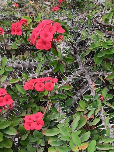
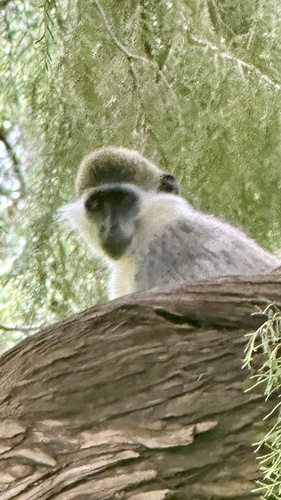


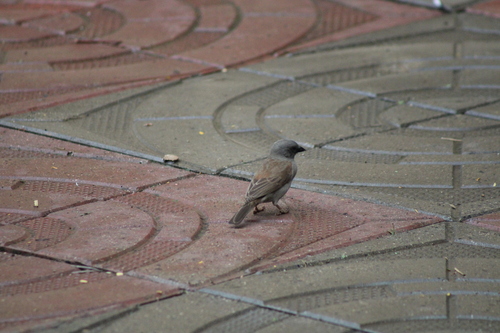
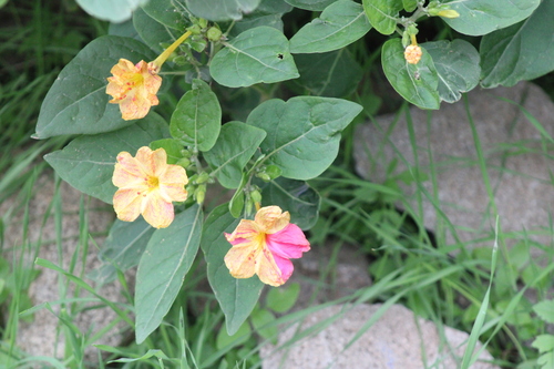
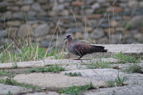
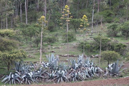
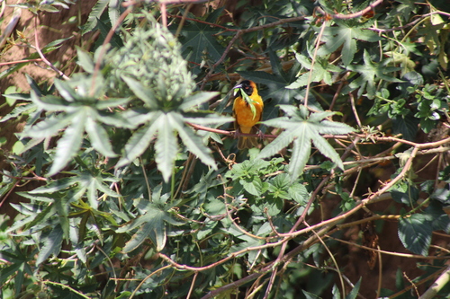
Research-grade observations from iNaturalist (within ~15 mi).
Events
Gallery
Sources
- • Wikipedia
- • Wikidata
- • USGS Earthquake Catalog (global feed)
- • GBIF (Global Biodiversity Information Facility)
- • iNaturalist
- • Open-Meteo / sunrise-sunset.org
- • Wikipedia Pageviews API
- • Open Library