Browse / Ethiopia / Amhara / Bahir Dar
Bahir Dar
Amharacity

Bahir Dar
Demographic figures from Ethiopian Statistical Service. Overview below cites Wikipedia and may reference a different year.
City facts
Facts from Wikidata (CC0).
Overview
Bahir Dar is the capital city of Amhara Region, Ethiopia. Bahir Dar is one of the leading tourist destinations in Ethiopia, with a variety of attractions in the nearby Lake Tana and Blue Nile river. The city is known for its wide avenues lined with palm trees and a variety of colorful flowers. In 2002, it was awarded the UNESCO Cities for Peace Prize for addressing the challenges of rapid urbanization.
Read more on WikipediaHistory & geography
History
Originally the settlement was called Bahir Giyorgis. Between 1810 and 1900, Bahir Dar had 1,200 to 2,000 inhabitants. It was developed in situ as a monastery and function of trading hub. In the 19th century, Bahir Dar was visited by Belgian, French, British and Italian travelers, who described it alternatively as a village or a town. During the early 20th century, the British, desiring to construct a barrage at the outlet of Lake Tana, dispatched several study teams, such as those of Dupis (1902), Grabham and Black (1920–21) and Cheesman (1926–34). In 1930 the Ethiopian Government sent to Bahir Dar its own team of experts, who described Bahir Dar as a village with considerable trading activity, with a population from the interior as well as from Lake Tana ports such as Zege. At this time Bahir Dar was characterized by various traditional settlement areas, each of which was distinguished by the social position its members occupied. The kahenat (clergy) and balabbat (landowner) communities were the most prestigious. In addition, three groups of tenant-craftsman communities, tanners, Muslims weavers and the Weyto stone-mill grinders, lived on balabbat lands. Although all were economically interdependent, there was no intermarriage between the tenant communities or between them and the balabbat and kahenat. The physical and social appearance of Bahir Dar was considerably changed. New settlement patterns emerged: an Italian camp, a Muslim community and a Weyto quarter, while the tanners' quarter remained unaffected. Bahir Dar became a melting-pot of different people and cultures. In the commercial zone, different types of shops, tea-rooms, tailor shops, bars and restaurants run by foreigners made their first appearance. Ethiopian influence on this reorganization was…
Geography
Bahir Dar is located at the exit of the Abbay from Lake Tana at an altitude of above sea level. The city is located approximately 578 km north-northwest of Addis Ababa. The Lake Tana region is a UNESCO Biosphere Reserve since 2015. Bahir Dar has a borderline tropical savanna climate (Köppen Aw), very close to a subtropical highland climate (Cwb). Afternoon temperatures are very warm to hot year-round, and morning temperatures cool; however, the diurnal range is much larger in the largely cloudless dry season.
Excerpted from the corresponding Wikipedia article (CC BY-SA).
Geography
Coordinates & boundaries from the US Census TIGER/Line shapefiles.
Climate
Air quality
Walkability
Amenities nearby
Wildlife & biodiversity
Earthquake history
Photos
Sights & places nearby
Notable people from here

People born within ~10 km, from Wikidata (CC0). Click any name for their Wikipedia article.
Geography & sun
Elevation, sunrise/sunset and daylight from Open-Meteo. Solar climatology from NASA POWER.
Nearby airports
Public attention
Pageview totals from the Wikimedia Pageviews API.
Books about Bahir Dar
Search results from Open Library.
Recent natural events nearby
Ground air-quality sensors
Recently spotted species
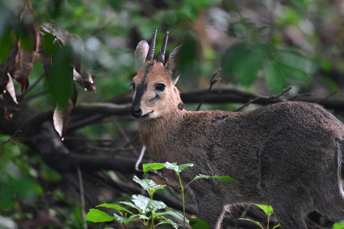
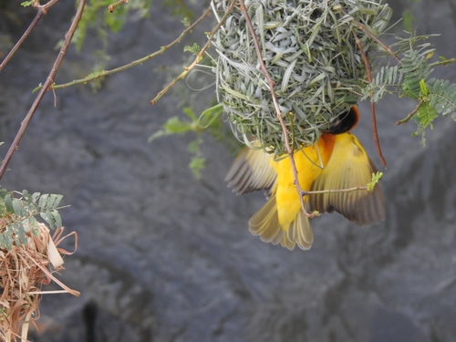
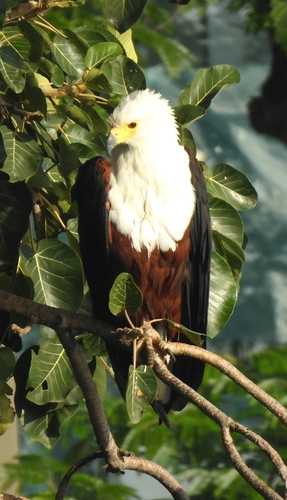
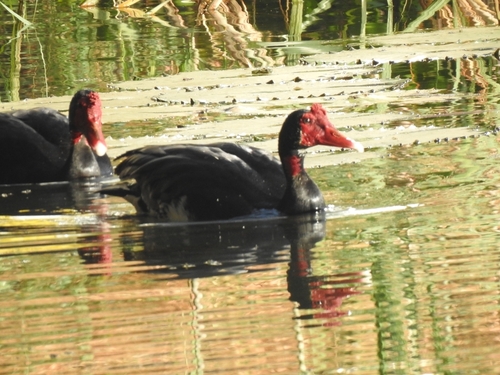
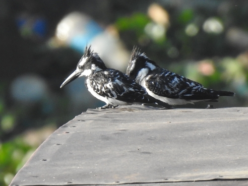
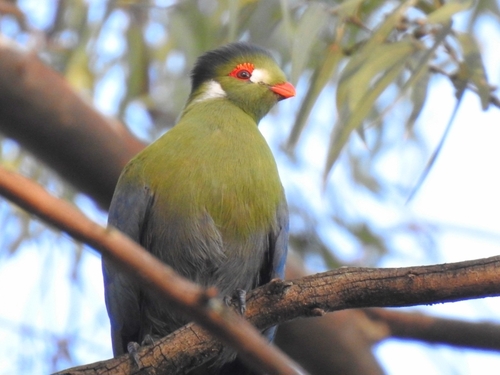
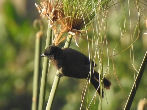
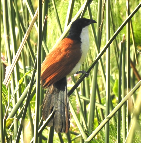
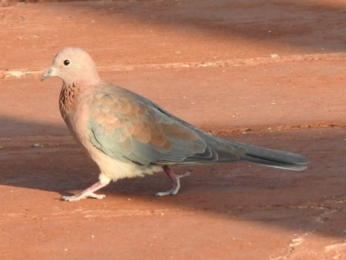
Research-grade observations from iNaturalist (within ~15 mi).
Events
Gallery
Sources
- • Wikipedia
- • Wikidata
- • iNaturalist
- • Open-Meteo / sunrise-sunset.org
- • Wikipedia Pageviews API
- • Open Library