Browse / Ethiopia / Oromia / Bedele
Bedele
Oromiatown
Demographic figures from Ethiopian Statistical Service. Overview below cites Wikipedia and may reference a different year.
City facts
Facts from Wikidata (CC0).
Overview
Bedele is a town and separate Aanaa in south-western Ethiopia. Located in the Buno Bedele Zone of the Oromia Region, this town has a longitude and latitude of 8°27′N 36°21′E and an elevation between 2,012–2,162 metres (6,601–7,093 ft) above sea level.
Read more on WikipediaHistory & geography
History
Ras Tessema Nadew made his capital near Bedele in the early 1900s. Henry Savage Landor passed through the town in 1906. The Buno Bedele Health Center was built in 1966 with a majority of Swedish donations. In February 2009, Regional President Abadula Gemeda laid the cornerstone for a new cultural center in Bedele. At the same time, he officially opened the new technical and vocational college in the town.
Excerpted from the corresponding Wikipedia article (CC BY-SA).
Geography
Coordinates & boundaries from the US Census TIGER/Line shapefiles.
Climate
Air quality
Walkability
Amenities nearby
Wildlife & biodiversity
Earthquake history
Events from the USGS Earthquake Catalog (global) (FDSN Event Web Service).
Photos
Sights & places nearby
Notable people from here
Geography & sun
Elevation, sunrise/sunset and daylight from Open-Meteo. Solar climatology from NASA POWER.
Nearby airports
Public attention
Pageview totals from the Wikimedia Pageviews API.
Books about this place
Recent natural events nearby
Ground air-quality sensors
Recently spotted species
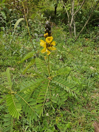
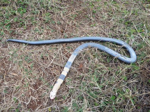
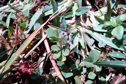
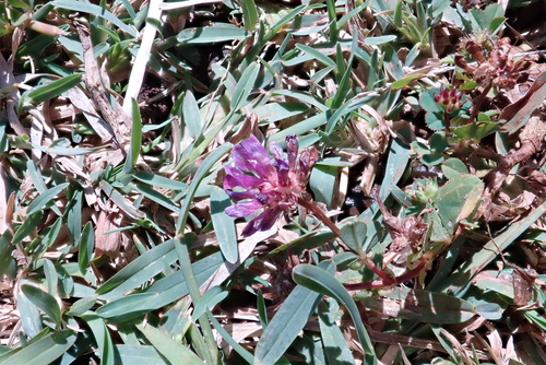
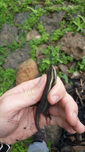
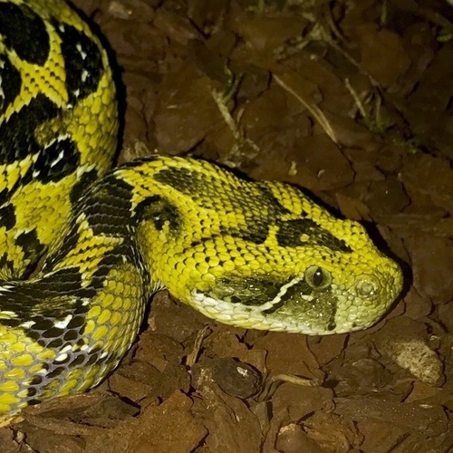
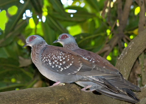
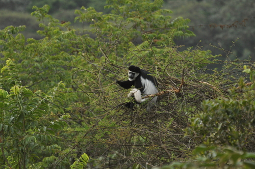
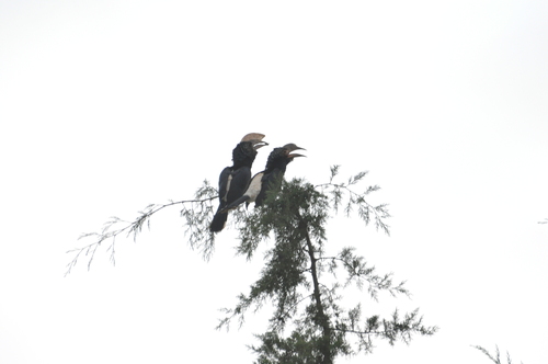
Research-grade observations from iNaturalist (within ~15 mi).
Events
Gallery
Sources
- • Wikipedia
- • Wikidata
- • USGS Earthquake Catalog (global feed)
- • GBIF (Global Biodiversity Information Facility)
- • iNaturalist
- • Open-Meteo / sunrise-sunset.org
- • Wikipedia Pageviews API