Browse / Ethiopia / Afar / Berhale
Berhale
Afarvillage

Berhale
Demographic figures from Ethiopian Statistical Service. Overview below cites Wikipedia and may reference a different year.
City facts
Facts from Wikidata (CC0).
Overview
Berahle is a town in north-eastern Ethiopia. Located in Kilbet Rasu, Afar Region, this town has a latitude and longitude of 13°51′N 40°01′E with an altitude of 639 meters above sea level. It is the largest town in Berhale woreda.
Read more on WikipediaHistory & geography
History
Records at the Nordic Africa Institute website provide details of a primary school in Berhale during the year 1968. Five British citizens and their Ethiopian guides were kidnapped 4 March 2007 after visiting Berhale. In January 2022, Tigray People's Liberation Front shelled Berhale as part of an offensive into Afar during the Tigray War. Many people fled towards the regional capital of Semera as refugees. On February 23 of that same year, militants entered an Eritrean refugee camp, killing at least five people. Thousands were displaced and several women were abducted. Several refugees were separated from their families during the attack and experienced emotional distress. While no organization claimed responsibility, the Tigray People's Liberation Front was widely suspected of being responsible. The Addis Standard estimated a month later that 43,000 people had been displaced from the settlement during the war.
Excerpted from the corresponding Wikipedia article (CC BY-SA).
Geography
Coordinates & boundaries from the US Census TIGER/Line shapefiles.
Climate
Air quality
Walkability
Amenities nearby
Wildlife & biodiversity
Earthquake history
Photos
Sights & places nearby
Notable people from here
Nearby places in Afar
Geography & sun
Elevation, sunrise/sunset and daylight from Open-Meteo. Solar climatology from NASA POWER.
Nearby airports
Public attention
Pageview totals from the Wikimedia Pageviews API.
Books about this place
Recent natural events nearby
Ground air-quality sensors
Recently spotted species
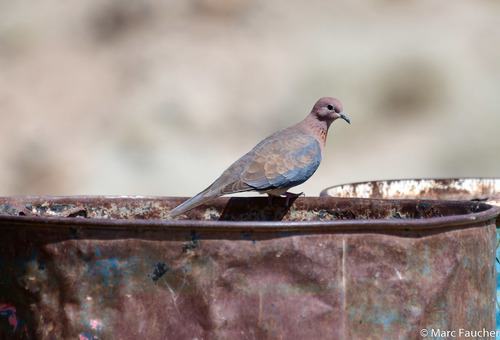

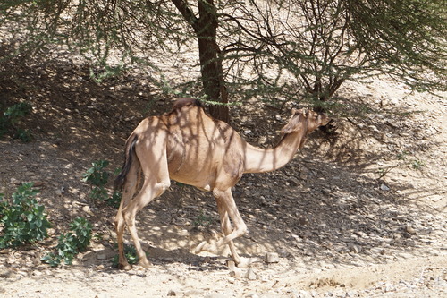
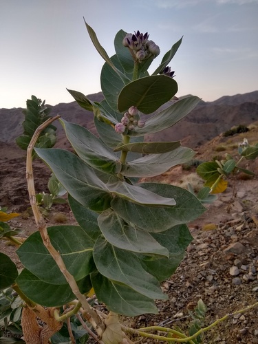
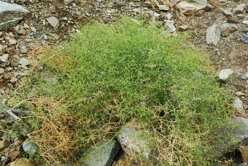
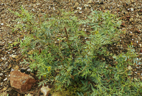
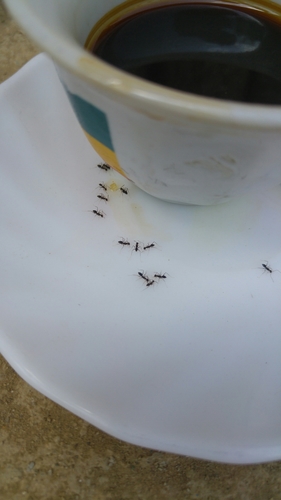
Research-grade observations from iNaturalist (within ~15 mi).
Events
Gallery
Sources
- • Wikipedia
- • Wikidata
- • iNaturalist
- • Open-Meteo / sunrise-sunset.org
- • Wikipedia Pageviews API