Browse / Ethiopia / SNNPR / Buee
Buee
SNNPRtown
Demographic figures from Ethiopian Statistical Service. Overview below cites Wikipedia and may reference a different year.
City facts
Overview
Buee is a town in East Gurage Zone, of Central Ethiopia Regional State, Ethiopia. The town is located in the highland areas and its elevation is 2,045 meters above the sea level. Buee serves as an administrative capital of Soddo district. The distance between Buee and Addis Ababa, the capital of Ethiopia, is about 100 km. The town is the home of the Gurage people. Buee has infrastructures such as pure drinking water, health institutions and electric service. The town is one of the fast growing towns in Ethiopia.
Read more on WikipediaHistory & geography
Geography
Coordinates & boundaries from the US Census TIGER/Line shapefiles.
Climate
Air quality
Walkability
Amenities nearby
Wildlife & biodiversity
Most-observed species
- Common BulbulPycnonotus barbatus (Desfontaines, 1789) · Aves2
- Red-billed FirefinchLagonosticta senegala (Linnaeus, 1766) · Aves2
- Red-cheeked CordonbleuUraeginthus bengalus (Linnaeus, 1766) · Aves2
- African CitrilCrithagra citrinelloides (Rüppell, 1840) · Aves2
- Ethiopian Bee-eaterMerops lafresnayii Guérin-Méneville, 1843 · Aves1
- African woollyneckCiconia microscelis G.R.Gray, 1848 · Aves1
- Hooded VultureNecrosyrtes monachus (Temminck, 1823) · Aves1
- Sacred IbisThreskiornis aethiopicus (Latham, 1790) · Aves1
Citizen-science & research observations from the Global Biodiversity Information Facility (GBIF).
Earthquake history
Most recent
- M 5.3 — 2017-01-2729 km S of Ziway, Ethiopia
- M 4.2 — 2015-03-31Ethiopia
- M 4.5 — 2006-07-0432 km E of Ziway, Ethiopia
Events from the USGS Earthquake Catalog (global) (FDSN Event Web Service).
Photos
Sights & places nearby
Notable people from here
Nearby places in SNNPR
Geography & sun
Elevation, sunrise/sunset and daylight from Open-Meteo. Solar climatology from NASA POWER.
Nearby airports
Public attention
Pageview totals from the Wikimedia Pageviews API.
Books about this place
Recent natural events nearby
Ground air-quality sensors
Recently spotted species
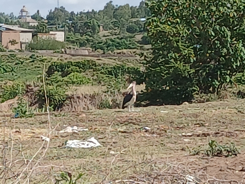
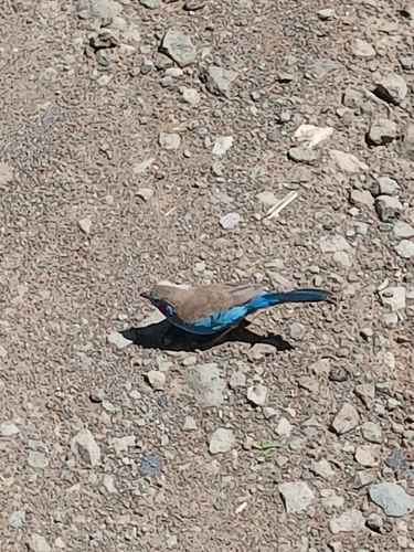

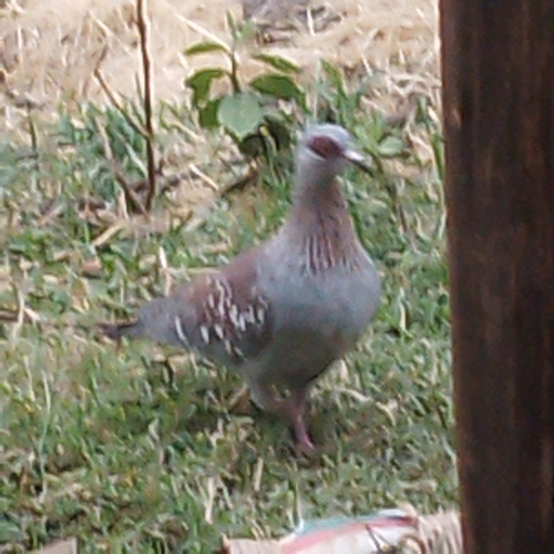
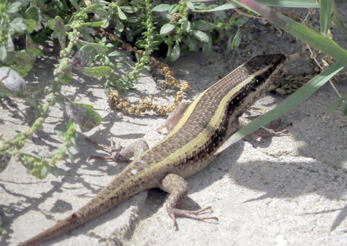

Research-grade observations from iNaturalist (within ~15 mi).
Events
Gallery
Sources
- • Wikipedia
- • Wikidata
- • USGS Earthquake Catalog (global feed)
- • GBIF (Global Biodiversity Information Facility)
- • iNaturalist
- • Open-Meteo / sunrise-sunset.org
- • Wikipedia Pageviews API