Browse / Ethiopia / Amhara / Dabat
Dabat
Amharatown
Demographic figures from Ethiopian Statistical Service. Overview below cites Wikipedia and may reference a different year.
City facts
Facts from Wikidata (CC0).
Overview
Dabat is a town in northern Ethiopia, located about 50 kilometers north of Gondar in the Semien Mountains along the Gondar-Debarq highway Dabat it is in the Semien Gondar Zone of the Amhara Region, and is one of two towns in Dabat woreda.
Read more on WikipediaHistory & geography
History
==History== Little is known about how the town was founded. In the late period of emperor Menelik II's reign the town grew in significance due to its telephone station. In September 1930, slave trade was banned after a proclamation by its governor, dejazmach Ayalew Birru was published. On 2 April 1936, Dabat fell under fascist occupation. The Italians established a large farm, a granary, a small food processing plant, and an agricultural research centre in Dabat. They also opened a post office on 1 December (or 29 November) 1937. In April 1941, the East African campaign was in full swing, when Major Basil Ringrose took Dabat, and effectively cut off the large Italian garrison at Uolchefit from Gondar. During the final confrontation with the Italians in October–November 1941 the allies had a base hospital in Dabat. Dabat was the capital of the Wogera awraja between 1950 and 1980. By 1967 there were telephones for the governor, police and public health center. On 21 April 1977, Ethiopian Democratic Union claimed they had captured 300 heavily armed Ethiopian Government troops of the Flame Division near Dabat. On 1 January 1989, the TPLF launched an offensive against the 603rd Corps Army of the Derg on 1st of, and having destroyed government forces stationed at Dabat they controlled the town of Dabat on 3 January. In the national elections of 15 May 2005 the Dabat constituency had 50 polling stations and 54,743 registered voters of whom 75% cast their votes. Leading party was the Coalition for Unity and Democracy with 16,690 votes with candidate Major Bayeh Ayalew Reda, defeating the ruling EPRDF with 13,745 votes. The United Ethiopian Democratic Forces party received 1,111 votes. The remaining 9,587 votes are not explained.
Geography
== Geography == Dabat consist of three settlements on three high points at an elevation of 2610 meters. The surrounding area is very fertile and known for its wheat and barley production. The road up north continues to climb up to about 2,865 metres, and when travelling southwards past Dabat, the road begins the final descent to Gondar. On a clear day you can see the blue waters of Lake Tana from this point.
Excerpted from the corresponding Wikipedia article (CC BY-SA).
Geography
Coordinates & boundaries from the US Census TIGER/Line shapefiles.
Climate
Air quality
Walkability
Amenities nearby
Wildlife & biodiversity
Most-observed species
- Hooded VultureNecrosyrtes monachus (Temminck, 1823) · Aves3
- Cattle EgretBubulcus ibis (Linnaeus, 1758) · Aves3
- Speckled PigeonColumba guinea Linnaeus, 1758 · Aves3
- White-collared PigeonColumba albitorques Rüppell, 1837 · Aves3
- Pied CrowCorvus albus Statius Muller, 1776 · Aves2
- Red-throated PipitAnthus cervinus (Pallas, 1811) · Aves2
- African StonechatSaxicola torquatus (Linnaeus, 1766) · Aves2
- Dusky Turtle-DoveStreptopelia lugens (Rüppell, 1837) · Aves2
Citizen-science & research observations from the Global Biodiversity Information Facility (GBIF).
Earthquake history
Events from the USGS Earthquake Catalog (global) (FDSN Event Web Service).
Photos
Sights & places nearby
Notable people from here
Nearby places in Amhara
- Kulmersk121.2 mi away
- Santa Rita da Valeria6540 mi away
- Nhamundá6553.7 mi away · pop. 20,136
- Bom Socorro6555.5 mi away
- Vila Amazônia6556.6 mi away
- Espírito Santo6559.9 mi away
- Cutipanã6561.4 mi away
- Benedito6561.6 mi away
- Santo Antônio do Tracajá6564.4 mi away
- Santa Maria do Mamoriacá6567.7 mi away
- Marajó6570.3 mi away
- Vila Santa Maria6575.4 mi away
Geography & sun
Elevation, sunrise/sunset and daylight from Open-Meteo. Solar climatology from NASA POWER.
Nearby airports
Public attention
Pageview totals from the Wikimedia Pageviews API.
Books about this place
Recent natural events nearby
Ground air-quality sensors
Recently spotted species
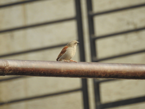
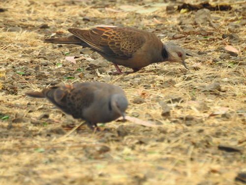
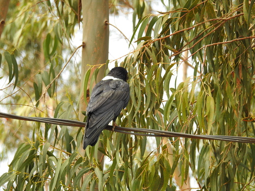
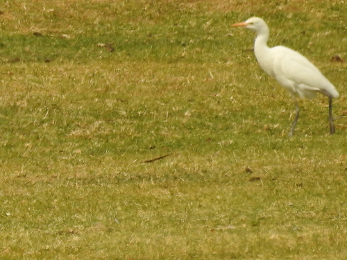
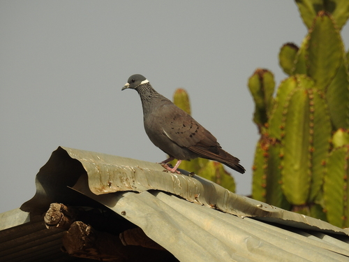
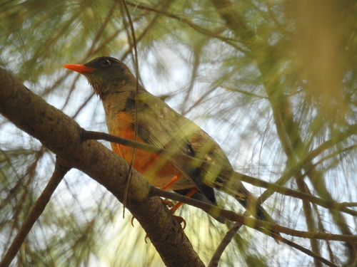
Research-grade observations from iNaturalist (within ~15 mi).
Events
Gallery
Sources
- • Wikipedia
- • Wikidata
- • USGS Earthquake Catalog (global feed)
- • GBIF (Global Biodiversity Information Facility)
- • iNaturalist
- • Open-Meteo / sunrise-sunset.org
- • Wikipedia Pageviews API