Browse / Ethiopia / Amhara / Debre Birhan
Debre Birhan
Amharacity

Debre Birhan
Total population
73,697
Demographic figures from Ethiopian Statistical Service. Overview below cites Wikipedia and may reference a different year.
City facts
Facts from Wikidata (CC0).
Overview
Debre Birhan is a city in north central Ethiopia. Located in the Semien Shewa Zone of Amhara Region, about 130 kilometers north east of Addis Ababa on Ethiopian highway 2, the town has an elevation of 2,840 meters, which makes it the highest town in Africa. It was an early capital of Ethiopia and afterwards, with Ankober and Angolalla, was one of the capitals of the kingdom of Shewa. Today, it is the administrative center of the North Shewa Zone of the Amhara Region.
Read more on WikipediaHistory & geography
History
Debre Birhan was founded by Emperor Zara Yaqob, in response to a miraculous light that was seen in the sky at the time. Believing this was a sign from God showing his approval for the death by stoning of a group of heretics 38 days before, the emperor ordered a church built on the site, and later constructed an extensive palace nearby, and a second church, dedicated to Saint Cyriacus. Zara Yaqob spent 12 of the last 14 years of his life in Debre Birhan. Historian Richard Pankhurst offers the date of 1456 for the date of the founding of this church, providing a plausible argument that the light in the sky was Halley's Comet, which could have been seen in Shewa that year, although the traditional dates (10th day of the month of Maggabit, i.e. 6 or 7 March) do not coincide with the days that the comet was most visible (13 through 17 June). While his son Baeda Maryam did spend the first part of his reign in Debre Birhan, eventually Baeda Maryam returned to the established itinerant practice of living in a permanent encampment that was constantly on the move through the realm. The departure of the court led to a decline in the population and importance of this town. Pankhurst explains that the needs of the imperial court and army—who numbered in the thousands—for firewood and food was so burdensome that, "it could not remain in any one locality for more than four months, nor return to the same place in less than 10 years due to the resultant shortage of food", which prevented the growth of any capital city in this period. While little more than a large village, Debre Birhan is mentioned a few times in the 16th century, the first time as a mustering center by Emperor Lebna Dengel against the invading armies of Ahmad ibn Ibrahim. After he had defeated Lebna Dengel at the…
Excerpted from the corresponding Wikipedia article (CC BY-SA).
Geography
Coordinates & boundaries from the US Census TIGER/Line shapefiles.
Climate
Air quality
Walkability
Amenities nearby
Wildlife & biodiversity
Most-observed species
- Pied CrowCorvus albus Statius Muller, 1776 · Aves17
- Black KiteMilvus migrans (Boddaert, 1783) · Aves14
- White-collared PigeonColumba albitorques Rüppell, 1837 · Aves12
- Cape CrowCorvus capensis Lichtenstein, 1823 · Aves11
- Thekla's LarkGalerida theklae A.E.Brehm, 1857 · Aves11
- Ethiopian SiskinSerinus nigriceps Rüppell, 1840 · Aves10
- Baglafecht WeaverPloceus baglafecht (Daudin, 1802) · Aves9
- Yellow BishopEuplectes capensis (Linnaeus, 1766) · Aves9
Citizen-science & research observations from the Global Biodiversity Information Facility (GBIF).
Earthquake history
Most recent
- M 4.4 — 2026-07-2114 km NW of Āwash, Ethiopia
- M 4 — 2026-06-2541 km NW of Metahāra, Ethiopia
- M 4.5 — 2026-05-229 km NE of Metahāra, Ethiopia
- M 4.3 — 2026-05-1011 km N of Metahāra, Ethiopia
- M 4.4 — 2026-04-2134 km SE of Debre Birhan, Ethiopia
- M 4.3 — 2026-04-0112 km NNE of Metahāra, Ethiopia
Events from the USGS Earthquake Catalog (global) (FDSN Event Web Service).
Photos
Sights & places nearby
Notable people from here


People born within ~10 km, from Wikidata (CC0). Click any name for their Wikipedia article.
Nearby places in Amhara
- Kulmersk157.6 mi away
- Santa Rita da Valeria6653.9 mi away
- Bom Socorro6668.7 mi away
- Nhamundá6669 mi away · pop. 20,136
- Vila Amazônia6670.2 mi away
- Espírito Santo6673.7 mi away
- Cutipanã6676.3 mi away
- Benedito6676.5 mi away
- Santo Antônio do Tracajá6677.2 mi away
- Santa Maria do Mamoriacá6682.6 mi away
- Marajó6682.7 mi away
- Vila Santa Maria6690.1 mi away
Geography & sun
Elevation, sunrise/sunset and daylight from Open-Meteo. Solar climatology from NASA POWER.
Nearby airports
Public attention
Pageview totals from the Wikimedia Pageviews API.
Books about this place
Recent natural events nearby
Ground air-quality sensors
Recently spotted species
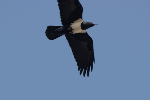
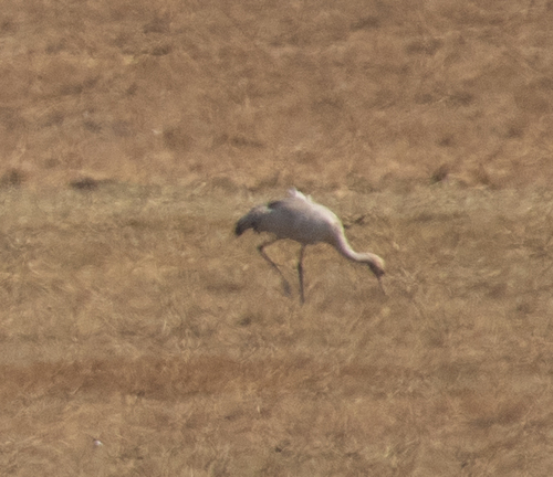
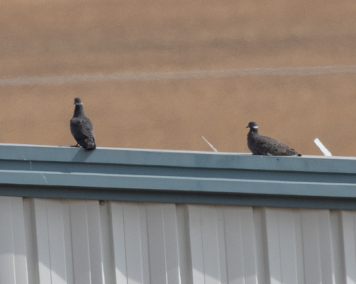
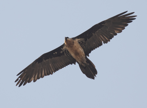
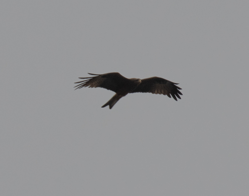
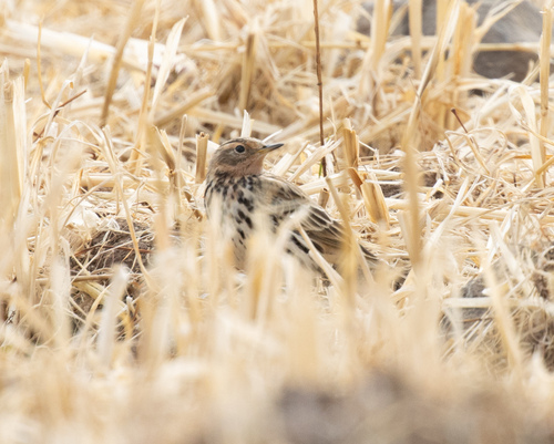
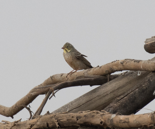
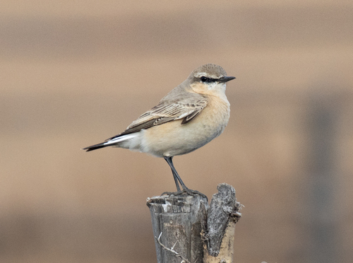
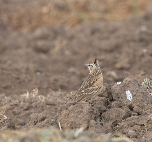
Research-grade observations from iNaturalist (within ~15 mi).
Events
Gallery
Sources
- • Wikipedia
- • Wikidata
- • USGS Earthquake Catalog (global feed)
- • GBIF (Global Biodiversity Information Facility)
- • iNaturalist
- • Open-Meteo / sunrise-sunset.org
- • Wikipedia Pageviews API