Browse / Ethiopia / Amhara / Debre Markos
Debre Markos
Amharacity

Debre Markos
Total population
93,780
Demographic figures from Ethiopian Statistical Service. Overview below cites Wikipedia and may reference a different year.
City facts
Facts from Wikidata (CC0).
Overview
Debre Markos is a city, separate woreda, and administrative seat of the East Gojjam Zone in Amhara Region, Ethiopia.
Read more on WikipediaHistory & geography
History
In the early 1860s, Debre Markos (then Manqwarar) served as the seat of government for Dejazmach Tedla Gwalu, the governor of Gojjam under Emperor Tewodros II. In 1867, Tedla Gwalu's houses were burned down by his rival, Ras Adal Tessema, who then took control of the town and made it his capital. In 1869, Debre Markos then became the seat of the provincial ruler, Ras Adal, who later assumed the name Tekle Haymanot and title Negus of Gojjam. But the town suffered further destruction in 1877 when Menelik II, King of Shewa, captured it. Menelik's chronicler notes that Shewan chiefs wanted to burn Adal's palace, but Menelik dismissed it as a mere hut. Despite claims of Menelik sparing the building, it was possibly destroyed, with the Gojjammes later using the event to demolish a palace in Shewa. During the reign of Tekle Haymanot, Richard Pankhurst notes, the population of Debre Markos "fluctuated greatly with the presence of absence of the army" of the Negus. Pankhurst further stated that when the Nigus (King) resided in the town, it had between 20,000 and 40,000 inhabitants; in his absence, between 5,000 and 6,000. The explorer Pellegrino Matteucci arrived at what was at that time named Manqwarar on 3 June 1879, he found Ras Adal's restored palace atop a hill overlooking a vast area. Adal lived on the hill, separate from his soldiers, who camped in the valley below. His encampment was enclosed by a high wall with a single gate guarded by soldiers with spears. The largest building, 130 meters long and 10 meters high, had a thatched roof supported by 150 columns. It served as a general store, housing cannons and weapons, as well as ironware workshops. In March 1900 an expedition led by Percy Powell-Cotton visited Debre Markos and noted that "the town looked more like a…
Geography
== Geography == Debre Markos is located 300 km north-west of Addis Ababa along the Addis Ababa-Gondar road at an elevation of over 2400 meters. Debre Markos has an area of 73.5 square kilometers (28.38 square miles). Debre Markos has a temperate and warm climate typical of the elevated portions of Ethiopia. The climate is classified subtropical highland (Köppen: Cwb), despite the proximity to the Equator. The minimum and maximum temperatures average between 14 and 20 °C. The mean annual air temperature is 17.3 °C. March and April are the warmest months with average temperature of 19.8.1 °C. July and August are the coldest months with average temperatures of 15.7 °C. The average annual temperature is 17.5 °C. The average rain fall is considerably irregular going from 15 mm in January to 433 mm in July, being therefore still the main differentiator of the seasons of the year. }}
Excerpted from the corresponding Wikipedia article (CC BY-SA).
Geography
Coordinates & boundaries from the US Census TIGER/Line shapefiles.
Climate
Air quality
Walkability
Amenities nearby
Wildlife & biodiversity
Earthquake history
Photos
Sights & places nearby
Notable people from here


People born within ~10 km, from Wikidata (CC0). Click any name for their Wikipedia article.
Nearby places in Amhara
- Terra Preta6532.3 mi away
- Santa Rita da Valeria6532.4 mi away
- Boca de Valéria6532.7 mi away
- Colônia Boa Esperança6546.5 mi away
- Nhamundá6547.3 mi away · pop. 20,136
- Bom Socorro6547.4 mi away
- Vila Amazônia6548.8 mi away
- Vila China6549.3 mi away
- Espírito Santo6552.3 mi away
- Cutipanã6554.6 mi away
- Benedito6554.9 mi away
- Santo Antônio do Tracajá6556 mi away
Geography & sun
Elevation, sunrise/sunset and daylight from Open-Meteo. Solar climatology from NASA POWER.
Nearby airports
Public attention
Pageview totals from the Wikimedia Pageviews API.
Books about this place
Recent natural events nearby
Ground air-quality sensors
Recently spotted species
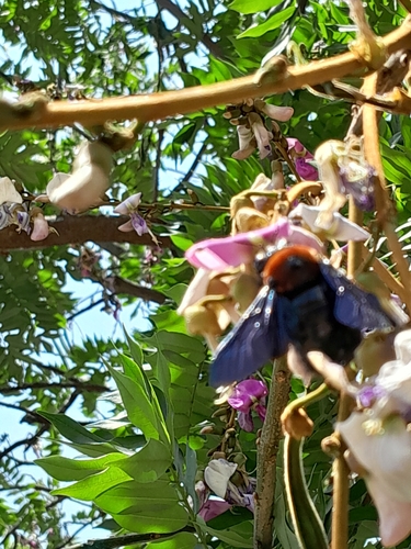
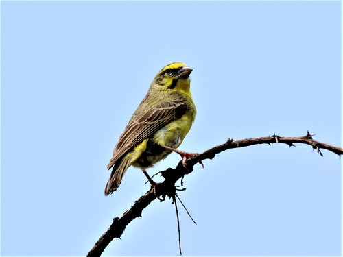
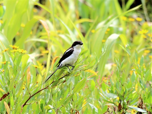
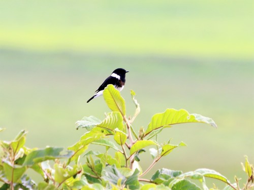
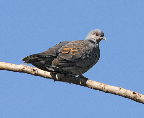
Research-grade observations from iNaturalist (within ~15 mi).
Events
Gallery
Sources
- • Wikipedia
- • Wikidata
- • iNaturalist
- • Open-Meteo / sunrise-sunset.org
- • Wikipedia Pageviews API