Browse / Ethiopia / Amhara / Demebecha
Demebecha
Amharatown

Demebecha
Demographic figures from Ethiopian Statistical Service. Overview below cites Wikipedia and may reference a different year.
City facts
Facts from Wikidata (CC0).
Overview
Dembecha is a town in northwestern Ethiopia 349 km north of Addis Ababa. Located in the Mirab Gojjam Zone of the Amhara Region, this town has a latitude and longitude of 10°33′N 37°29′E with an elevation of 2083 meters above sea level. It is one of three towns in Dembecha woreda.
Read more on WikipediaHistory & geography
History
Dembecha is mentioned as one of the places which the Emperor Yohannes passed through between 8 May and 18 July 1683 on his journey from Yebaba to Gondar. Dembecha was included as one of the stages of the Gondar-Boso trade route of the 1840s, according to a list compiled by Antoine Thomson d'Abbadie in his Geodesie d'Ethiopie. The British traveller C.T. Beke stayed several times in this town during 1842, beginning with several days during February 1842 while he waited for Dejazmach Goshu Zewde to complete his homage to Ras Ali and return. Beke described the town at the time as a "large town" located "on the slope of another ridge of the mountains coming from the N.E." He also notes its importance due to its location on one of the principal caravan routes through Gojjam. As part of the East African Campaign of World War II, Gideon Force encountered a vastly superior Italian force under Colonel Natale near the fort at Dembecha on 5 March 1942. Although defeated in the battle, the British force inflicted such heavy casualties that three days later the Italian garrison was forced to withdraw to Debre Marqos. Seizing this fort allowed the British to isolate Debre Marqos from the rest of the Italian forces.
Excerpted from the corresponding Wikipedia article (CC BY-SA).
Geography
Coordinates & boundaries from the US Census TIGER/Line shapefiles.
Climate
Air quality
Walkability
Amenities nearby
Wildlife & biodiversity
Earthquake history
Photos
Sights & places nearby
Notable people from here
Nearby places in Amhara
- Kulmersk149.8 mi away
- Santa Rita da Valeria6516.8 mi away
- Nhamundá6531.6 mi away · pop. 20,136
- Bom Socorro6531.9 mi away
- Vila Amazônia6533.2 mi away
- Espírito Santo6536.7 mi away
- Cutipanã6539 mi away
- Benedito6539.2 mi away
- Santo Antônio do Tracajá6540.5 mi away
- Santa Maria do Mamoriacá6545.3 mi away
- Marajó6546.1 mi away
- Vila Santa Maria6552.9 mi away
Geography & sun
Elevation, sunrise/sunset and daylight from Open-Meteo. Solar climatology from NASA POWER.
Nearby airports
Public attention
Pageview totals from the Wikimedia Pageviews API.
Books about this place
Recent natural events nearby
Ground air-quality sensors
Recently spotted species
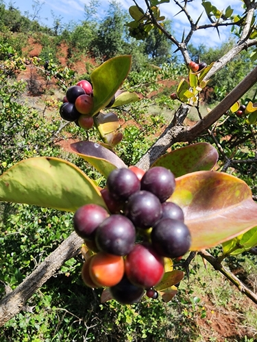
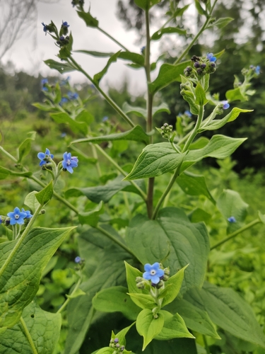
Research-grade observations from iNaturalist (within ~15 mi).
Events
Gallery
Sources
- • Wikipedia
- • Wikidata
- • iNaturalist
- • Open-Meteo / sunrise-sunset.org
- • Wikipedia Pageviews API