Browse / Ethiopia / Amhara / Dessie
Dessie
Amharacity

Dessie
Total population
169,104
Demographic figures from Ethiopian Statistical Service. Overview below cites Wikipedia and may reference a different year.
City facts
Facts from Wikidata (CC0).
Overview
Dessie is a town in north-central Ethiopia. Located in the South Wollo Zone of the Amhara Region, it sits at a latitude and longitude of 11°8′N 39°38′E, with an elevation between 2,470 and 2,550 metres above sea level. Dessie is 400 km to the north of the capital Addis Ababa. It has a population of more than 200,000 people in over 30 wards.
Read more on WikipediaHistory & geography
History
Prior to Dessie's foundation, the major settlement in this area was Wasal, mentioned in an early 16th-century Italian itinerary. Dessie was founded by Emperor Yohannes IV who was camping in the highlands to the west of the Chefa Valley in 1882 on an expedition to forcefully convert the Muslims who lived in the region to Christianity. As he was looking for a place to centralize his power in Wollo, he stayed overnight in a pre-existing town that is now contained within Dessie. While there, he spotted a comet. He was so impressed by the sight of it that he interpreted it to be a sign from heaven to found his capital city there. A similar story to Zara Yaqob's founding of his capital, Debre Birhan. Thus, he named it Dessie (Amharic: "My Joy"), as a reference to the elation that the comet had made him feel. Though founded and named by Yohannes, Dessie was beyond his dominions, for already in 1878 he recognized Wollo as being under the jurisdiction of Menelik II. Menelik's writ in the province, however, was weak and in 1888 handed its governorship to Ras Mikael. In 1892, Ras Mikael married the daughter of Menelik in the town, thus further integrating Wollo and Shewa. The strategic importance of Dessie became apparent during the First Italo-Ethiopian War, when the Emperor and his forces passed through the town on their way to and from Tigray. Dessie's location led to the telegraph line constructed between 1902 and 1904 from Asmara south to Addis Ababa, passing through the city, and giving it a local telegraph office. Also in 1904, the Italian Giuseppe Bonaiuti took part in constructing a fair-weather road connecting the city to Addis Ababa. During the Italian invasion, Dessie was first bombed 6 December 1935; the American Hospital was one of the buildings damaged in the…
Excerpted from the corresponding Wikipedia article (CC BY-SA).
Geography
Coordinates & boundaries from the US Census TIGER/Line shapefiles.
Climate
Air quality
Walkability
Amenities nearby
Wildlife & biodiversity
Most-observed species
- Dusky Turtle-DoveStreptopelia lugens (Rüppell, 1837) · Aves3
- Recurved Thorn-apple, Pricklyburr, Downy thorn-appleDatura innoxia Mill. · Magnoliopsida2
- geladaTheropithecus gelada (Rüppell, 1835) · Mammalia1
- Greater Blue-eared StarlingLamprotornis chalybaeus Hemprich & Ehrenberg, 1828 · Aves1
- Baglafecht WeaverPloceus baglafecht (Daudin, 1802) · Aves1
- Red-eyed DoveStreptopelia semitorquata (Rüppell, 1837) · Aves1
- Abyssinian-bananaEnsete ventricosum (Welw.) Cheesman · Liliopsida1
- CenturyplantAgave americana L. · Liliopsida1
Citizen-science & research observations from the Global Biodiversity Information Facility (GBIF).
Earthquake history
Most recent
- M 4.4 — 2024-07-0638 km S of Robīt, Ethiopia
- M 4.5 — 2020-01-2016 km S of Kemis?, Ethiopia
- M 4.2 — 2014-06-2056 km WNW of Were ?lu, Ethiopia
- M 4.6 — 2005-09-2865 km NNE of Bat?, Ethiopia
- M 4.1 — 2005-09-2559 km NE of Bat?, Ethiopia
- M 4.6 — 2004-01-1823 km WSW of Kemis?, Ethiopia
Events from the USGS Earthquake Catalog (global) (FDSN Event Web Service).
Photos
Sights & places nearby
Notable people from here


People born within ~10 km, from Wikidata (CC0). Click any name for their Wikipedia article.
Nearby places in Amhara
- Kulmersk63.2 mi away
- Santa Rita da Valeria6663.2 mi away
- Nhamundá6677.8 mi away · pop. 20,136
- Bom Socorro6678.3 mi away
- Vila Amazônia6679.7 mi away
- Espírito Santo6683.1 mi away
- Cutipanã6685.2 mi away
- Benedito6685.4 mi away
- Santo Antônio do Tracajá6687 mi away
- Santa Maria do Mamoriacá6691.5 mi away
- Marajó6692.7 mi away
- Vila Santa Maria6699.1 mi away
Geography & sun
Elevation, sunrise/sunset and daylight from Open-Meteo. Solar climatology from NASA POWER.
Nearby airports
Public attention
Pageview totals from the Wikimedia Pageviews API.
Books about this place
Recent natural events nearby
Ground air-quality sensors
Recently spotted species
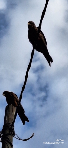
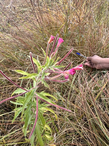
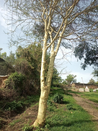
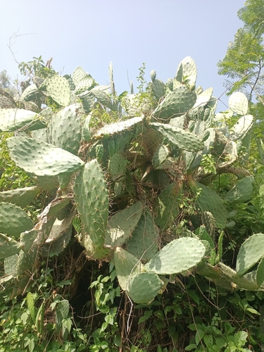
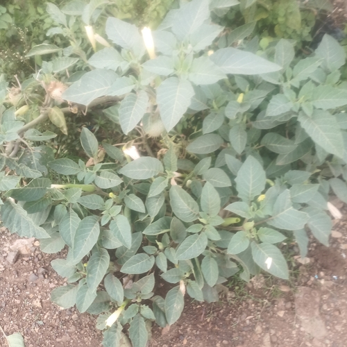
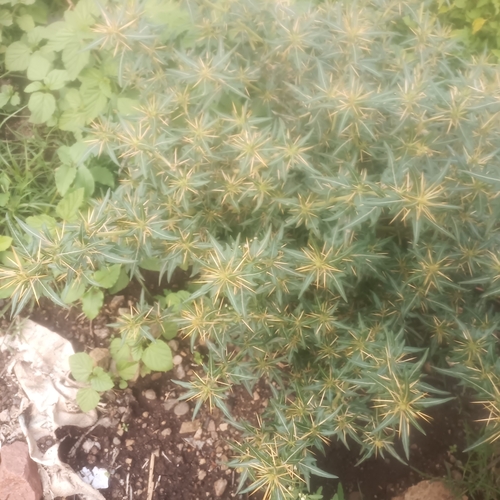
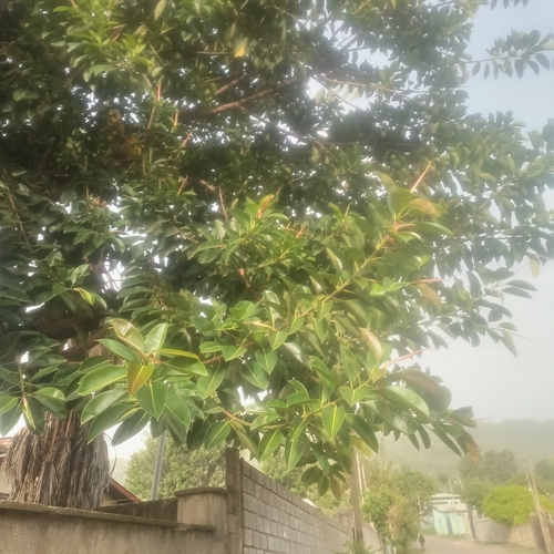
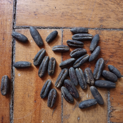
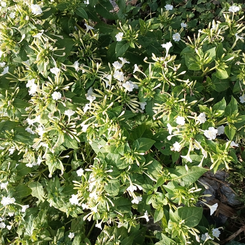
Research-grade observations from iNaturalist (within ~15 mi).
Events
Gallery
Sources
- • Wikipedia
- • Wikidata
- • USGS Earthquake Catalog (global feed)
- • GBIF (Global Biodiversity Information Facility)
- • iNaturalist
- • Open-Meteo / sunrise-sunset.org
- • Wikipedia Pageviews API