Browse / Ethiopia / Gambela / Gambela
Gambela
Gambelacity

Gambela
Total population
31,282
Demographic figures from Ethiopian Statistical Service. Overview below cites Wikipedia and may reference a different year.
City facts
Facts from Wikidata (CC0).
Overview
Gambela, also spelled Gambella, is a city and separate woreda in Ethiopia and the capital of the Gambela Region. Located in Anyuak Zone, at the confluence of the Baro River and its tributary the Jajjabe, the city has a latitude and longitude of 8°15′N 34°35′E and an elevation of 526 meters. It is surrounded by Gambella Zuria.
Read more on WikipediaHistory & geography
History
Gambela was founded because of its location on the Baro, a tributary of the Nile, which was seen by both the British and the Ethiopians as an excellent highway for exporting coffee and other goods from the fertile Ethiopian Highlands to Sudan and Egypt. === British concession (1902–1956) === Emperor Menelik II granted Britain use of a port along the Baro on 15 May 1902, and in 1907 the port and a customs station were founded at Gambela. A shipping service run by Sudan Railways linked Khartoum with Gambela, a distance of 1,366 kilometers. According to Richard Pankhurst, by the mid-1930s boats sailed twice a month during the rainy season, taking seven days downstream and eleven upstream. According to Bahru Zewde, British interest in the concession was due in part to the attraction of "tapping the allegedly fabulous commercial potential of Western Ethiopia and drawing the whole region into the economic orbit of the Sudan", but also intended "to be a brilliant British countermove to avert the virtual commercial hegemony in Ethiopia that the Djibouti-Addis Ababa Railway seemed to promise the French." In fact, it benefitted the Abyssinians themselves not to have their economy in the control of a single European power, whether French, British or even Italian, and Menelik was playing a clever game of pitting his colonial neighbours against each other, to avoid any single one gaining a monopoly, whilst opening his country to the benefits of trade and technology, as part of a major modernisation drive. Although over 70% of Ethiopia's external trade passed through the port at Djibouti between 1911 and 1917, the share of goods passing through Gambela had the fastest rate of growth until the Italian conquest. The British did have to cope with the Ethiopian governors of Sayo…
Excerpted from the corresponding Wikipedia article (CC BY-SA).
Geography
Coordinates & boundaries from the US Census TIGER/Line shapefiles.
Climate
Air quality
Walkability
Amenities nearby
Wildlife & biodiversity
Most-observed species
- Common BulbulPycnonotus barbatus (Desfontaines, 1789) · Aves24
- Hadada IbisBostrychia hagedash (Latham, 1790) · Aves20
- Speckled MousebirdColius striatus J.F.Gmelin, 1789 · Aves20
- Hooded VultureNecrosyrtes monachus (Temminck, 1823) · Aves19
- Woodland KingfisherHalcyon senegalensis (Linnaeus, 1766) · Aves17
- Tawny-flanked PriniaPrinia subflava (Gmelin, 1789) · Aves16
- Northern Masked-WeaverPloceus taeniopterus (Reichenbach, 1863) · Aves16
- African Palm-SwiftCypsiurus parvus (M.H.K.Lichtenstein, 1823) · Aves15
Citizen-science & research observations from the Global Biodiversity Information Facility (GBIF).
Earthquake history
Events from the USGS Earthquake Catalog (global) (FDSN Event Web Service).
Photos
Sights & places nearby
Notable people from here


People born within ~10 km, from Wikidata (CC0). Click any name for their Wikipedia article.
Nearby places in Gambela
Geography & sun
Elevation, sunrise/sunset and daylight from Open-Meteo. Solar climatology from NASA POWER.
Nearby airports
Public attention
Pageview totals from the Wikimedia Pageviews API.
Books about Gambela

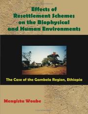
Search results from Open Library.
Recent natural events nearby
Ground air-quality sensors
Recently spotted species
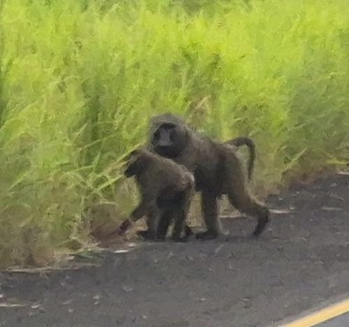
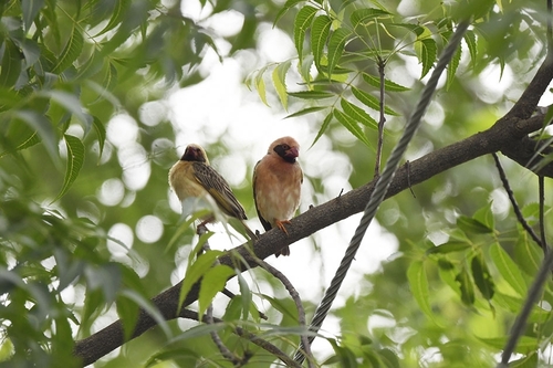
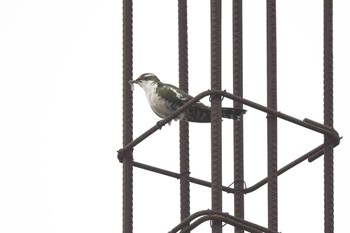
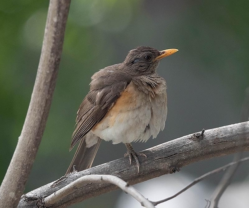
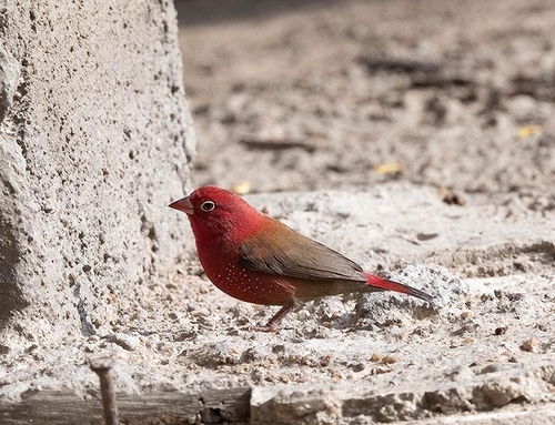
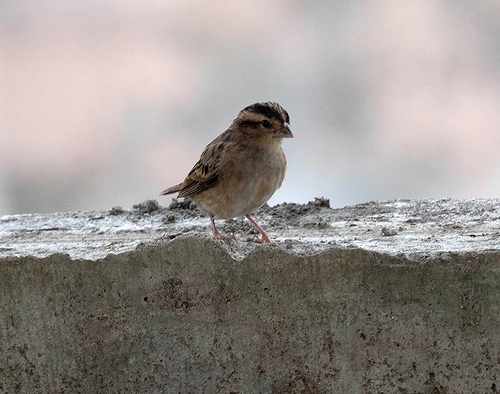
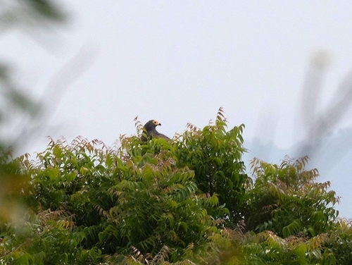
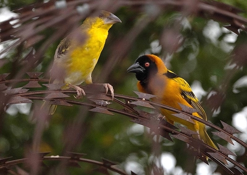
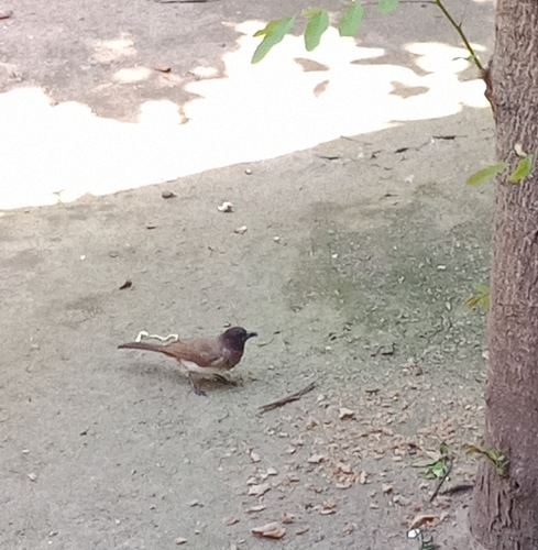
Research-grade observations from iNaturalist (within ~15 mi).
Events
Gallery
Sources
- • Wikipedia
- • Wikidata
- • USGS Earthquake Catalog (global feed)
- • GBIF (Global Biodiversity Information Facility)
- • iNaturalist
- • Open-Meteo / sunrise-sunset.org
- • Wikipedia Pageviews API
- • Open Library