Browse / Ethiopia / Sidama / Hawassa
Hawassa
Sidamacity

Hawassa
Total population
160,000
Demographic figures from Ethiopian Statistical Service. Overview below cites Wikipedia and may reference a different year.
City facts
Facts from Wikidata (CC0).
Overview
Hawassa, known historically as Adare, is a city in Ethiopia, on the shores of Lake Hawassa in the Great Rift Valley. It is 273 km (170 mi) south of Addis Ababa via Bishoftu, 130 km (81 mi) east of Sodo, and 75 km (47 mi) north of Dilla. The town serves as the capital of the Sidama Region. It lies on the Trans-African Highway 4 Cairo-Cape Town and has a latitude and longitude of 7°3′N 38°28′E and an elevation of 1,708 meters (5,604 ft) above sea level. Its name comes from a Sidama word meaning "wide body of water".
Read more on WikipediaHistory & geography
History
In 1957, with Ras Mengesha Seyoum at the head of the Sidamo Governorate General, Emperor Haile Selassie became greatly interested in establishing a new town in the area where the city is now located. The area appealed to the emperor on many levels. It was located on the important Addis Abeba– Moyale (Kenya) highway; its flat, expansive topography was conducive to city building; and the nearby tourist attractions of Lake Hawassa and the Dume hill (later named Tabor) provided a dramatic backdrop to the area. In 1958, upon the order of the emperor, a seasonal palace for him was built along Lake Awasa in an area called Kutuwa. The building of the palace intensified interest in the area among many people, most notably the empress herself proceeded to lay claim to extensive hectares of land in the name of the emperor. As the town grew, more than three thousand people who were living in the area were displaced. Dubale (2010) also notes that a political dispute accompanied the displacement of the Sidama from the Hawassa area. Governor Ras Mengesha Seyoum (r.1955–1960) enthusiastically supported the urbanization of the area, regardless of its impact on the Sidama who had been living there, while succeeding Governor Ras Andargachew Mesay (r. 1960–1965) was much more concerned with the impact of this displacement on the Sidama people. Ras Andargachew Mesay refused to endorse the implementation of a large mechanized farming project in and around the Hawassa area by the Ministry of National Development unless he was guaranteed alternative land for the thousands of Sidama households. Their houses were simply bulldozed without any prior notification and compensation. However, despite his efforts to delay or block the displacement of the Sidama by the emerging city plan and the…
Excerpted from the corresponding Wikipedia article (CC BY-SA).
Geography
Coordinates & boundaries from the US Census TIGER/Line shapefiles.
Climate
Air quality
Walkability
Amenities nearby
Wildlife & biodiversity
Most-observed species
- Red-eyed DoveStreptopelia semitorquata (Rüppell, 1837) · Aves262
- Silvery-cheeked HornbillBycanistes brevis Friedmann, 1929 · Aves241
- HamerkopScopus umbretta Gmelin, 1789 · Aves237
- Hadada IbisBostrychia hagedash (Latham, 1790) · Aves225
- Marabou StorkLeptoptilos crumenifer (R.P.Lesson, 1831) · Aves220
- Egyptian GooseAlopochen aegyptiaca (Linnaeus, 1766) · Aves219
- Hooded VultureNecrosyrtes monachus (Temminck, 1823) · Aves214
- African JacanaActophilornis africanus (J.F.Gmelin, 1789) · Aves199
Citizen-science & research observations from the Global Biodiversity Information Facility (GBIF).
Earthquake history
Most recent
- M 5.3 — 2017-01-2729 km S of Ziway, Ethiopia
- M 4.4 — 2016-01-242 km N of Hawassa, Ethiopia
- M 4.4 — 2014-12-2932 km NE of Shashemen?, Ethiopia
- M 4.4 — 2011-10-17Ethiopia
- M 5 — 2011-03-1913 km ENE of Wendo, Ethiopia
- M 5.1 — 2010-12-193 km SSW of Hosa’ina, Ethiopia
Events from the USGS Earthquake Catalog (global) (FDSN Event Web Service).
Photos
Sights & places nearby
Notable people from here
People born within ~10 km, from Wikidata (CC0). Click any name for their Wikipedia article.
Nearby places in Sidama
Geography & sun
Elevation, sunrise/sunset and daylight from Open-Meteo. Solar climatology from NASA POWER.
Nearby airports
Public attention
Pageview totals from the Wikimedia Pageviews API.
Books about this place
Recent natural events nearby
Ground air-quality sensors
Recently spotted species
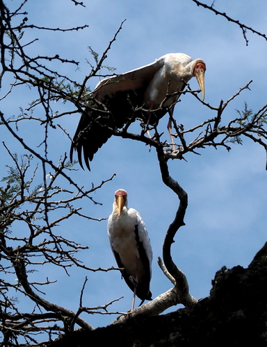
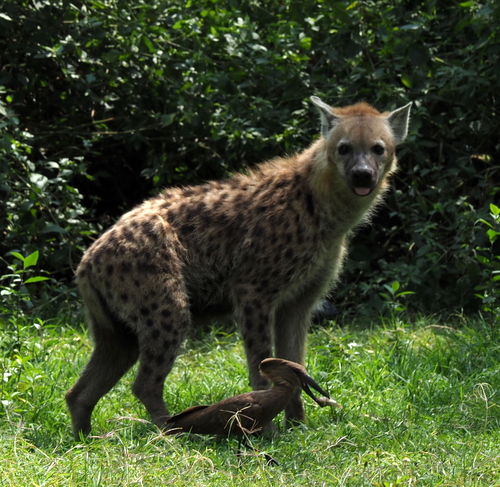
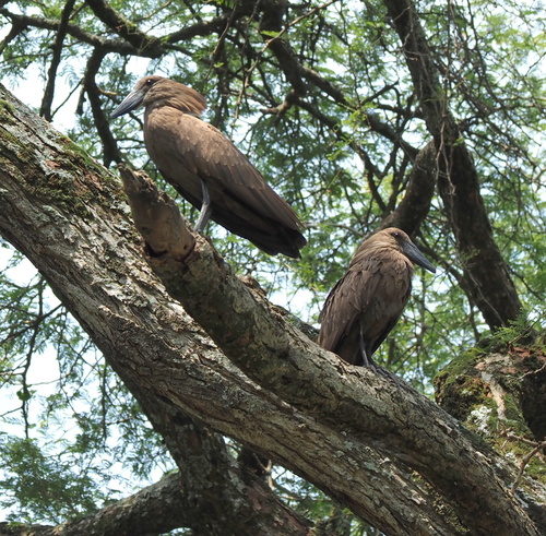
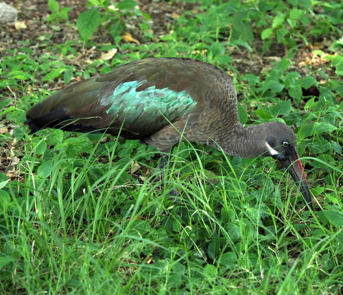
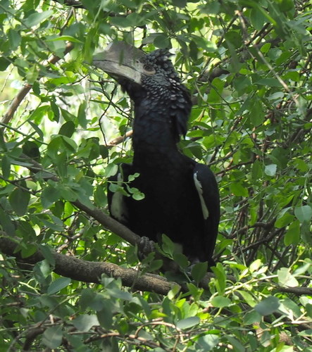
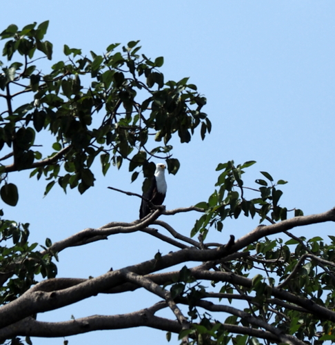
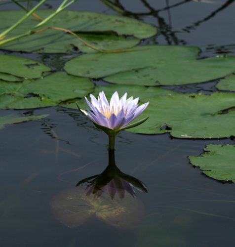
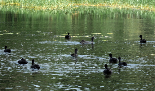
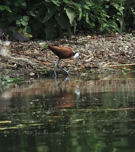
Research-grade observations from iNaturalist (within ~15 mi).
Events
Gallery
Sources
- • Wikipedia
- • Wikidata
- • USGS Earthquake Catalog (global feed)
- • GBIF (Global Biodiversity Information Facility)
- • iNaturalist
- • Open-Meteo / sunrise-sunset.org
- • Wikipedia Pageviews API