Browse / Ethiopia / Tigray / Hawzen
Hawzen
Tigraytown

Hawzen
Demographic figures from Ethiopian Statistical Service. Overview below cites Wikipedia and may reference a different year.
City facts
Facts from Wikidata (CC0).
Overview
Hawzen is an Ethiopian District or woreda in the Tigray Region of Ethiopia. Part of the Misraqawi Zone, Hawzen is bordered on the south by Kilte Awulaelo, on the west by the Mehakelegnaw (Central) Zone, on the north by Ganta Afeshum, and on the east by Saesi Tsaedaemba. Towns in Hawzen include Hawzen and Megab; villages include Koraro.
Read more on WikipediaHistory & geography
Geography
Coordinates & boundaries from the US Census TIGER/Line shapefiles.
Climate
Air quality
Walkability
Amenities nearby
Wildlife & biodiversity
Most-observed species
- Mocking Cliff-ChatThamnolaea cinnamomeiventris (Lafresnaye, 1836) · Aves6
- Rüppell's ChatMyrmecocichla melaena (Rüppell, 1837) · Aves5
- Speckled PigeonColumba guinea Linnaeus, 1758 · Aves3
- Rüppell's GriffonGyps rueppellii (A.E.Brehm, 1852) · Aves2
- Augur BuzzardButeo augur (Ruppell, 1836) · Aves2
- Fan-tailed RavenCorvus rhipidurus Hartert, 1918 · Aves2
- Greater Blue-eared StarlingLamprotornis chalybaeus Hemprich & Ehrenberg, 1828 · Aves2
- Black SawwingPsalidoprocne pristoptera (Rüppell, 1840) · Aves2
Citizen-science & research observations from the Global Biodiversity Information Facility (GBIF).
Earthquake history
Most recent
- M 4.2 — 2026-06-1162 km ESE of Ādīgrat, Ethiopia
- M 4.2 — 2026-01-2156 km NE of Mek'ele, Ethiopia
- M 4.4 — 2026-01-2152 km NE of Mek'ele, Ethiopia
- M 4.5 — 2026-01-0468 km NE of Mek'ele, Ethiopia
- M 4.4 — 2025-11-0139 km ENE of Mek'ele, Ethiopia
- M 4.4 — 2025-10-2055 km ESE of Ādīgrat, Ethiopia
Events from the USGS Earthquake Catalog (global) (FDSN Event Web Service).
Photos
Sights & places nearby
Notable people from here
Nearby places in Tigray
Geography & sun
Elevation, sunrise/sunset and daylight from Open-Meteo. Solar climatology from NASA POWER.
Nearby airports
Public attention
Pageview totals from the Wikimedia Pageviews API.
Books about this place
Recent natural events nearby
Ground air-quality sensors
Recently spotted species
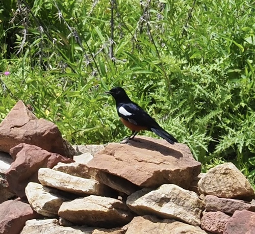
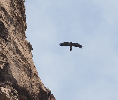
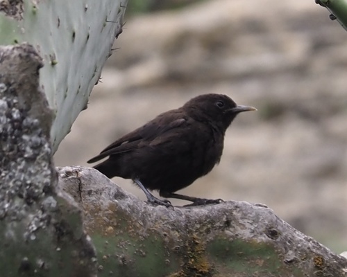
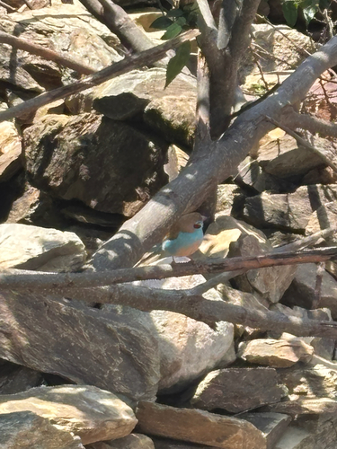
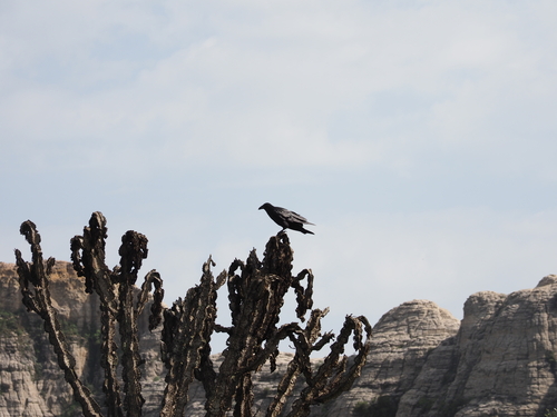
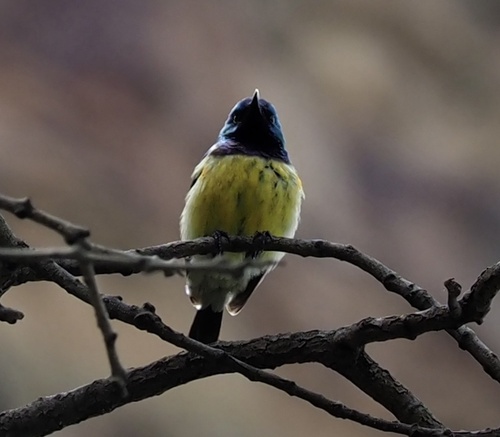
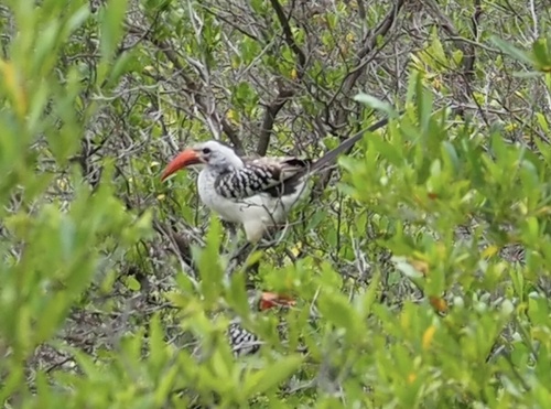
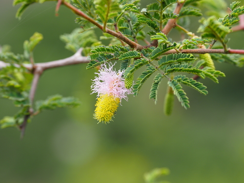
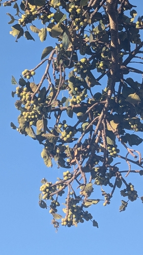
Research-grade observations from iNaturalist (within ~15 mi).
Events
Gallery
Sources
- • Wikipedia
- • Wikidata
- • USGS Earthquake Catalog (global feed)
- • GBIF (Global Biodiversity Information Facility)
- • iNaturalist
- • Open-Meteo / sunrise-sunset.org
- • Wikipedia Pageviews API