Browse / Ethiopia / Amhara / Injibara
Injibara
Amharatown

Injibara
Demographic figures from Ethiopian Statistical Service. Overview below cites Wikipedia and may reference a different year.
City facts
Facts from Wikidata (CC0).
Overview
Injibara is a town in Ethiopia. It is the administrative center of the Agew Awi Zone in the Amhara Region. Injibara is located at 10°57′N 36°56′E, in Banja Shekudad woreda at an elevation of 2,560 meters (8,400 ft) above sea level.
Read more on WikipediaHistory & geography
History
Injibara was the scene of (in the words of Sven Rubenson) "one of the most bloody battles" of Emperor Tewodros' reign. In 1863, he marched against Tedla Gwalu, who had revolted against him in Gojjam. Whilst Tewodros defeated Gwalu in the battle, Gwalu escaped to continue his revolt against the Emperor. Modern Injibara was constructed since 1991 at a place called Kosober by locals, at the junction of Highway 3 from Addis Ababa to Bahir Dar and the road leading west towards Chagni and into Metekel Zone. The older town of Injibara is situated approximately north of Modern Injibara at , at a elevation.
Excerpted from the corresponding Wikipedia article (CC BY-SA).
Geography
Coordinates & boundaries from the US Census TIGER/Line shapefiles.
Climate
Air quality
Walkability
Amenities nearby
Wildlife & biodiversity
Earthquake history
Photos
Sights & places nearby
Notable people from here


People born within ~10 km, from Wikidata (CC0). Click any name for their Wikipedia article.
Nearby places in Amhara
- Kulmersk167.9 mi away
- Santa Rita da Valeria6479.8 mi away
- Nhamundá6494.4 mi away · pop. 20,136
- Bom Socorro6494.9 mi away
- Vila Amazônia6496.3 mi away
- Espírito Santo6499.7 mi away
- Cutipanã6501.8 mi away
- Benedito6502.1 mi away
- Santo Antônio do Tracajá6503.6 mi away
- Santa Maria do Mamoriacá6508.2 mi away
- Marajó6509.3 mi away
- Vila Santa Maria6515.8 mi away
Geography & sun
Elevation, sunrise/sunset and daylight from Open-Meteo. Solar climatology from NASA POWER.
Nearby airports
Public attention
Pageview totals from the Wikimedia Pageviews API.
Books about Injibara
Search results from Open Library.
Recent natural events nearby
Ground air-quality sensors
Recently spotted species
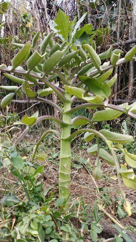
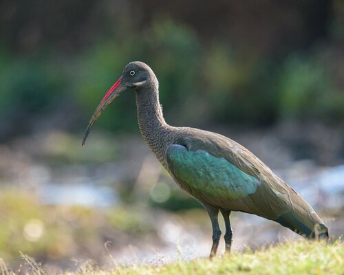
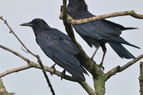
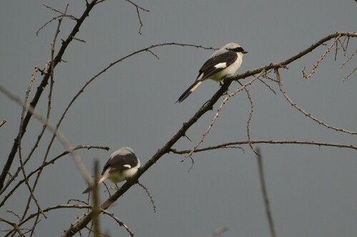
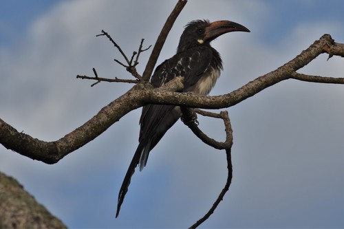
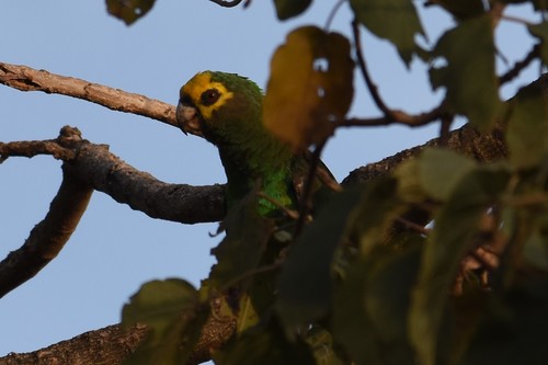
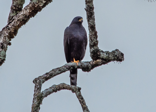
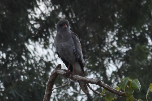
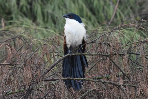
Research-grade observations from iNaturalist (within ~15 mi).
Events
Gallery
Sources
- • Wikipedia
- • Wikidata
- • iNaturalist
- • Open-Meteo / sunrise-sunset.org
- • Wikipedia Pageviews API
- • Open Library